Blog Article
July 16, 2026 Recap: ND Tornadoes & TX Flash Flooding
A full recap of July 16, 2026: four tornado reports in North Dakota, flash flood emergencies in Texas Hill Country, and a destroyed bridge in Kerr County.
July 16, 2026 Severe Weather Recap: North Dakota Tornadoes and Texas Hill Country Flooding
Alright y'all, July 16 gave us two completely different weather stories running at the same time, and both of them were serious.
Down in the Texas Hill Country, the ground still couldn't handle any more rain. Flash Flood Emergencies got issued for Uvalde, Kerr, Kendall, and Blanco counties, and the Bear Creek Road bridge in Kerr County did not survive the water. That's the same region that's been getting hammered repeatedly this season, and July 16 was another gut punch for folks who live along those creeks and low-water crossings.
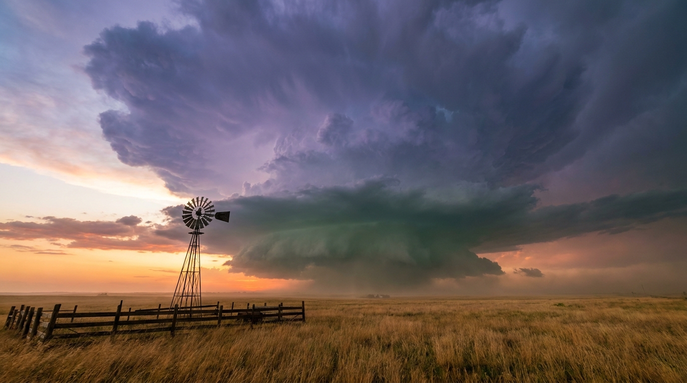
Meanwhile, up in North Dakota, the atmosphere spun up something entirely different. As storms fired under Severe Thunderstorm Watch 491 that evening, spotters and fire departments called in four separate tornado reports within a few hours of each other. That's the headline reason we're doing this recap.
How the day unfolded
The morning and early afternoon belonged to the Northeast. A trained spotter near Orrington, Maine reported numerous trees down, including one on a house, around 1:44 PM Eastern. A couple hours later, around 3:25 PM Eastern, the public reported trees and power lines down near Middleton, New Hampshire. Storms rolling through New England that afternoon left a trail of downed trees, which lines up with the "most active regions" list flagging Maine, New Hampshire, and New Jersey.
Out west, a separate cell dropped wind damage reports near Nezperce, Idaho that evening, with law enforcement finding a downed tree across State Highway 64 and large branches hanging on power lines.
But the real action Thursday night was in North Dakota. As Severe Thunderstorm Watch 491 covered the northeastern part of the state, storms started organizing along a boundary that had enough shear and instability to work with. Here's how the tornado reports came in, based on confirmed local storm reports:
- Around 9:04 PM Eastern, a storm chaser relayed photos of a thin landspout tornado 6 miles south of Wolford, ND.
- Around 9:09 PM Eastern, a trained spotter reported multiple sightings of a thin tornado in an open field 1 mile northwest of Knox, ND.
- Around 10:10 PM Eastern, a fire department/rescue crew reported a tornado in progress 4 miles west of Maddock, ND.
- Around 11:06 PM Eastern, the public relayed broadcast photos of a tornado 8 miles southeast of Bremen, ND.
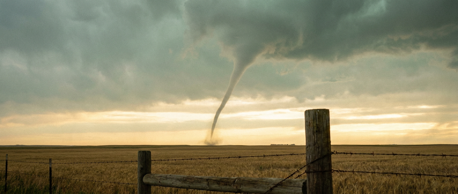
All four reports came out of the same general corridor in northeastern and north-central North Dakota over about a two-hour window. That's a textbook example of a discrete supercell (or a small cluster of them) tracking across open farmland, throwing down brief tornadoes as it went. The "thin tornado in open field" language from spotters tells you these were likely narrow, short-lived circulations rather than large, long-track tornadoes, but a tornado on the ground is a tornado on the ground, and four reports in one evening is a genuinely active night for that part of the country.
Storms and heavy rain also reached the Kansas City area of Jackson County, Missouri, and out west, a debris flow closed US-89 near Marysvale, Utah, another reminder that the Southwest monsoon moisture was still causing problems well outside Texas.
What we can confirm
- Four tornado/landspout reports across North Dakota (Wolford, Knox, Maddock, Bremen) between roughly 9 PM and 11 PM Eastern, all tied to Severe Thunderstorm Watch 491.
- Confirmed wind damage reports in Orrington, ME and Middleton, NH from trees and power lines down.
- Confirmed wind damage near Nezperce, ID, including a tree across State Highway 64.
- Flash Flood Emergencies issued for Uvalde, Kerr, Kendall, and Blanco counties, TX, with the Bear Creek Road bridge in Kerr County destroyed.
- A debris flow reported on US-89 near Marysvale, UT.
We don't have damage survey results yet for any of the North Dakota tornadoes, so we're not going to guess at ratings or path lengths. Those surveys take the National Weather Service a few days, and we'll pass along what they find once it's official.
Forecast versus reality
Yesterday's blog focused heavily on the Texas Hill Country flooding and the Southwest monsoon, and that call held up. WPC had a Slight risk of excessive rainfall posted for West Texas, southern New Mexico, Arizona, and the southern Great Basin, and sure enough, the flash flood emergencies materialized right where that moisture plume was sitting. The Bear Creek Road bridge failure was a sobering confirmation of just how much water that region has absorbed this season.
The Northern Plains tornado activity wasn't the story we were tracking the day before. Watch 491 got issued that evening as storms developed, which is exactly how these things go sometimes. The environment came together faster than the headline risk areas suggested, and four tornado reports followed. That's a good reminder that a quiet-looking outlook in one region doesn't mean nothing's going to happen there. Watches get issued in real time for a reason, and North Dakota storm spotters earned their keep Thursday night.
What's coming next
The pattern is shifting for the weekend. SPC has bumped Saturday's severe threat into a Slight risk covering roughly 88 million people from Columbus and Indianapolis through Philadelphia, New York, and Washington DC, with numerous damaging wind gusts (30 percent probability) the main concern as a shortwave trough digs into the Ohio Valley and Mid-Atlantic. Sunday shifts that threat into the Carolinas and southeast Virginia, with Charlotte, Raleigh, and the Virginia Beach/Norfolk area in a Slight risk zone. If you've got plans for Sunday's World Cup Final at MetLife Stadium, keep an eye on the forecast, since WPC also has a Slight risk of excessive rainfall stretching into the northern Mid-Atlantic and southern New York Saturday into Sunday morning.
Out west, the monsoon isn't done. WPC still has a Slight risk of excessive rainfall today across West Texas, southern New Mexico, Arizona, and the southern Great Basin, so the Texas Hill Country and Southwest need to stay alert for more flash flooding on top of already saturated ground.
On the tropical side, there's nothing to worry about right now. Two disturbances in the Atlantic both carry low development chances (10 to 20 percent through seven days), and no named storms are active anywhere.
Bottom Line
July 16 showed how two very different hazards can dominate a single day. The Texas Hill Country flooding was the forecast doing exactly what it said it would, another round of dangerous flash flooding on ground that had no capacity left to absorb it. The North Dakota tornadoes were the reminder that severe weather doesn't always announce itself a day ahead of time. Four tornado reports came out of a watch that got issued the same evening the storms fired. Watches and warnings matter in the moment, not just in the outlook maps from the morning before. As we head into the weekend, the Ohio Valley and Mid-Atlantic need to watch Saturday closely, and the Southwest monsoon isn't backing off anytime soon.