Blog Article
July 27, 2026 Severe Weather Recap: Midwest Tornadoes
A honest recap of the July 27, 2026 severe weather outbreak: confirmed tornadoes in Illinois and Wisconsin, wind damage, and how the forecast held up.
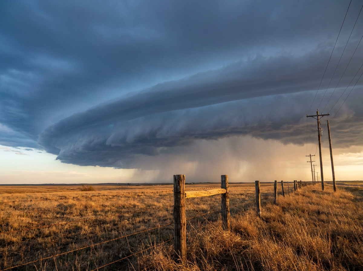
July 27, 2026 Severe Weather Recap: The Enhanced Risk Delivered
Alright y'all, let's start with the headline. Yesterday's Enhanced Risk over the Chicago-to-Ohio-Valley corridor was not a bust. Between midday and mid-afternoon, storm spotters and emergency managers confirmed at least four separate tornadoes on the ground in Wisconsin and Illinois, right where SPC had been pointing for a full day. That is the kind of forecast verification that makes a meteorologist's morning.
How the Day Unfolded
The system carried over from the overnight MCS that had already rolled through the Ohio Valley and central Appalachians. By late morning, that cluster reorganized as it pushed into the Upper Midwest and Great Lakes.
- Around 11:56 AM CDT, an NWS Storm Survey team documented a tornado starting near 2 WNW Appleton, Wisconsin. That survey was still ongoing at last report, so the location and timing are preliminary.
- About the same time, 11:55 AM CDT, a trained spotter caught a tornado 1 NNW of Glen Ellyn, Illinois, close to where radar had already flagged a tornadic debris signature. A photo backed it up.
- Just before 12:45 PM CDT, a trained spotter confirmed another tornado 1 N of Orland Park, Illinois, as the same line of storms kept firing across the Chicago metro.
- Wind damage reports stacked up right alongside those tornadoes. Oak Brook, Illinois had branches down. Darien, Illinois had an evergreen tree uprooted and large limbs blocking roads near 83rd and Lemont. Oak Grove, Indiana had a tree down across a roadway as the line pushed east into the afternoon.
- Around 6:14 PM CDT, an emergency manager in Hoopeston, Illinois relayed video evidence of a tornado that briefly touched down a mile west of IL-1, leaning a power pole and a street sign. That was the last confirmed tornado report of the day from this system.
On top of all that, power outages climbed past 390,000 customers across the Midwest as the line of storms worked through. Separately and unrelated to this MCS, a report of tree damage came in from Killearn Lakes, Florida just before midnight, a reminder that Florida's daily thunderstorm cycle doesn't take a day off just because the big story is up north.
What Was Forecast vs What Happened
Yesterday's outlook called for an Enhanced Risk (level 3 of 5) from the Upper Midwest and upper Great Lakes into the Ohio Valley, with a 30 percent wind probability and a hatched area for gusts of 75 mph or better. The tornado and wind threat we got matches up well with that call. Confirmed tornadoes touched down in exactly the corridor SPC circled, Wisconsin and the Chicago suburbs, and the wind damage reports from Darien, Oak Brook, and Oak Grove line up with that same swath.
What we don't have in hand is a measured gust reading to confirm that 75 mph hatched threshold got hit. The wind damage reports we have are tree and branch damage, which is consistent with severe gusts, but nobody's official anemometer reading came through in the data we're working with. So call this forecast a solid hit on placement and threat type, with the exact peak wind numbers still an open question.
One more note on Hurricane Genevieve. That storm reaching Category 5 in the Eastern Pacific had zero connection to yesterday's Midwest severe weather, different ocean basin, different air mass entirely. Worth mentioning because it's a genuine record moment, but don't let it get tangled up in the MCS story.
What's Next
Today's SPC Day 1 outlook has shifted the threat east, just like Monday's forecast said it would. There's a Slight Risk now stretching from the Mid-Atlantic into the Carolinas, covering Charlotte, DC, Baltimore, and Raleigh, roughly 36 million people under that umbrella. The wind probability tops out at 30 percent (numerous damaging wind threat) and there's a 5 percent tornado probability layered in too. Separately, WPC has a Moderate Risk of excessive rainfall today for the New Jersey, New York, and Connecticut tri-state area, tied to an upper low that's going to sit and spin over the Northeast into tonight. That's a flooding story more than a severe wind and hail story, so if you're in that corridor, watch the rain totals as much as the storm reports.
Bottom Line
Yesterday's forecast earned its keep. SPC drew an Enhanced Risk over Wisconsin, northern Illinois, and the Chicago suburbs, and that's exactly where the confirmed tornadoes and wind damage showed up. The lesson here isn't flashy, it's the boring kind of good news: when the ingredients lined up the way the models said they would, the outlook nailed the geography. Today the threat slides east into the Carolinas and Mid-Atlantic, while a separate and arguably bigger concern, flash flooding around New York City and New Jersey, sits right behind it. Two different hazards, two different regions, both worth your attention today.