Blog Article
July 28, 2026 Severe Weather Recap: Tornado & Fire Whirl
A full recap of July 28, 2026: a tornado report near Trappe, MD, a rare Utah fire tornado, and Mid-Atlantic flash flooding, checked against the forecast.
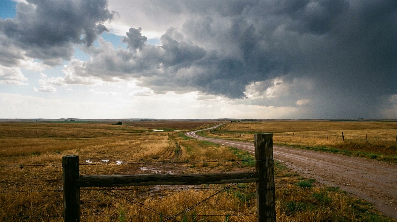
July 28, 2026 Severe Weather Recap: Tornado Report, Fire Whirl, and a Flood Fight in the Mid-Atlantic
Alright folks, yesterday earned its keep. The headline moment came around 6:14 PM Eastern, when multiple 911 calls and social media videos described a tornado on the ground southeast of Trappe, Maryland, out on the Eastern Shore. That report came in the middle of a broader stretch of tornado warnings that NWS offices kept up across North Carolina, Virginia, Maryland, Delaware, and Pennsylvania through the afternoon and evening.
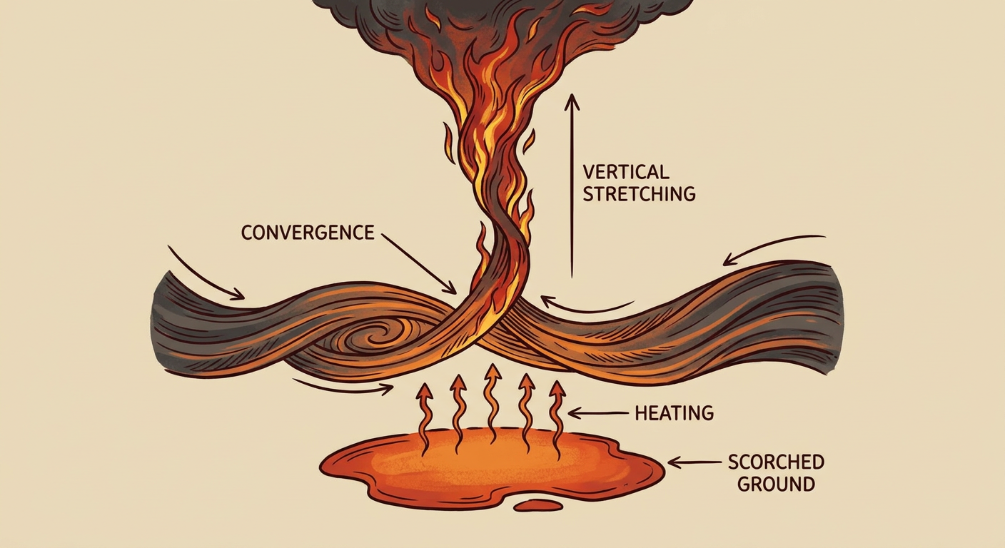
And get this, that wasn't even the only tornado story of the day. Way out in central Utah, broadcast media and social video caught what's being called a fire tornado, an EF-U rated vortex, spinning up alongside the Widemouth 2 Fire near Kanosh. Nobody's sure yet how long it held together or if there was more than one. That's a genuinely rare event, wildfires can generate their own rotation without a thunderstorm anywhere near them.
How the Day Unfolded
- Just before 7 AM Eastern, a waterspout formed off Tierra Verde near St. Petersburg, Florida, a quiet start compared to what came later.
- Mid-afternoon, a line of storms began moving through the Ohio Valley into Appalachia and the Mid-Atlantic. Around 3:30 PM Eastern, trees came down on wires near Walnut Bottom, Pennsylvania.
- Around 3:49 PM Eastern, wind gusts snapped trees near Jonancy, Kentucky, caught on a home security camera according to social media posts.
- Around 4:03 PM Mountain time, the fire tornado near Kanosh, Utah, showed up on broadcast media footage.
- Around 4:23 PM Eastern, multiple trees were reported down in Rippon, West Virginia.
- Around 5:43 PM Eastern, utility crews reported trees and powerlines down south of Bakersville near Ledger, North Carolina, cutting power to parts of the area.
- Around 6:14 PM Eastern, the tornado report came in southeast of Trappe, Maryland.
- Around 8:52 PM Eastern, a waterspout was spotted off Newport News, Virginia, near Hilton Village.
While all that was going on, flash flooding kept grinding away across Pennsylvania, New York, and Maryland. Storms trained over the same ground more than once, and that led to water rescues and road closures in several spots. Separately, out in the Eastern Pacific, Hurricane Genevieve reached major hurricane strength. No threat to the U.S. mainland from that one, and as of this morning it's no longer showing up in active tropical tracking.
What We Can Confirm
- One tornado reported southeast of Trappe, Maryland (public reports, time estimated)
- One fire tornado (EF-U) associated with the Widemouth 2 Fire near Kanosh, Utah
- Two waterspouts, one off Tierra Verde, Florida, one off Hilton Village, Virginia
- Multiple confirmed wind damage reports (trees and powerlines down) in Pennsylvania, West Virginia, North Carolina, and Kentucky
- Flash flooding with water rescues and road closures across Pennsylvania, New York, and Maryland
- The National Weather Service logged well over 100 total storm reports across this event window, only a portion of which we've detailed above with full specifics, but the pattern was clear: this was a multi-state, all-day severe and flood event stretching from Appalachia into the Northeast
A note on that fire tornado: the EF-U rating there isn't a typo. It stands for "unknown," the designation used when there's no way to run a normal damage survey, which is common with fire-generated vortices burning through remote terrain.
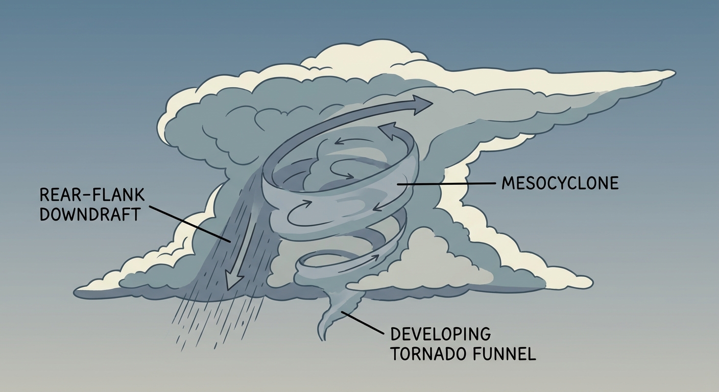
Forecast vs. What Actually Happened
Our outlook going into the day flagged flash flooding as the top concern, with a Moderate Risk of excessive rainfall posted for New England and training storms already stacking up rainfall rates of 1 to 2 inches an hour. That call held up. The flooding was real, though the worst impacts we can confirm centered more on Pennsylvania, New York, and Maryland than on New England specifically.
What we didn't emphasize enough going in was the tornado threat that developed across the Mid-Atlantic. The forecast focus that morning was on flooding first, with severe weather attention pointed toward other parts of the country. What actually showed up was a tornado report on Maryland's Eastern Shore and a run of tornado warnings from North Carolina up through Pennsylvania. That's a fair miss to own. The atmosphere found a second gear in a corridor that wasn't the headline story in the morning outlook.
What's Coming Next
Today, July 29, the Storm Prediction Center has a Slight Risk of severe thunderstorms up in two separate spots: southern Georgia into northern Florida, where a stalled front and a high-CAPE airmass could support damaging wind gusts, and the northern High Plains around Rapid City and Bismarck, where a mid-level ridge sliding east will help fire off storms with severe wind and hail potential later today.
The flooding threat hasn't gone anywhere either. WPC has a Moderate Risk of excessive rainfall posted again for the Northeast today, with a Slight Risk sliding into the lower Missouri Valley and mid-to-upper Mississippi Valley by Thursday, then into the upper Midwest and mid-Mississippi Valley by Friday. If you're in any of those corridors, keep an eye on rainfall totals, not just wind and hail.
On the space weather side, nothing urgent. A CME could stir up unsettled geomagnetic conditions late Thursday into Friday, and NOAA's 27-day outlook flags a possible G1 minor geomagnetic storm around August 19. Nothing that affects day-to-day forecasting for most of us.
Bottom Line
July 28 turned into one of those days where a flood-first forecast had to make room for a real tornado threat by the afternoon. The Mid-Atlantic saw a confirmed tornado report near Trappe, Maryland, a run of tornado warnings across five states, and scattered wind damage from Kentucky to North Carolina, all while flooding rains kept hammering Pennsylvania, New York, and Maryland. Out west, a wildfire near Kanosh, Utah, produced a genuinely rare fire tornado. The flooding forecast held up well. The tornado threat across the Mid-Atlantic is the piece we'll be looking at more closely next time a flood-focused setup like this one shows up, because the atmosphere clearly had more than one trick up its sleeve yesterday.