Blog Article
August 01, 2026 Severe Weather Recap: Tornado & Flooding
A full recap of August 01, 2026 severe weather: a confirmed tornado near Folly Beach SC, wind damage in Ohio and Alabama, and flash flooding in the Southeast.
August 01, 2026 Severe Weather Recap: One Tornado, a String of Waterspouts, and Rain That Kept Coming
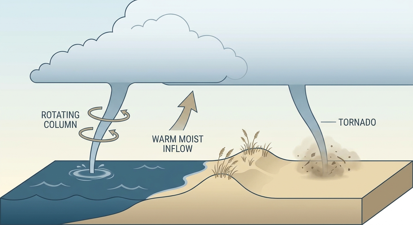
Alright folks, let's talk about yesterday. If you were watching the Carolina coast around 2 PM, you got a show. A waterspout spun up just south of the Folly Beach Pier, and within about 30 minutes it had company: another waterspout north of the pier, then a third one that actually moved onshore. That onshore-moving spout got logged by NWS Charleston as a tornado report. No damage was found, but the timing was confirmed by trained spotters and Surfline webcams, so it counts.
That's the headline moment. But it wasn't the only thing going on.
How the Day Unfolded
The day actually started quiet, with a waterspout reported near Catano, Puerto Rico around 8:30 in the morning. That was the calm before the more active stretch.
Things picked up in the early afternoon along the South Carolina coast:
- 2:05 PM EDT: A waterspout reported just south of the Folly Beach Pier.
- 2:23 PM EDT: A trained spotter reported a second waterspout, this one north of the pier.
- 2:33 PM EDT: That north-side waterspout moved onshore and was logged as a confirmed tornado report, no discernable damage found.
- 3:50 PM EDT: A separate waterspout was caught on webcam near Port Canaveral, Florida, in the Banana River.
- 5:27 PM EDT: An emergency manager relayed a waterspout offshore near Sunset Beach, North Carolina, visible on a beach webcam for about 12 minutes.
As the afternoon gave way to evening, the severe weather threat shifted inland and got more traditional. Storms did wind damage in a couple of spots:
- Near Eaton, Ohio, an emergency manager confirmed four homes with significant damage along with tree damage.
- Near Alpine, Alabama, trees came down along Shadetree Lane.
Meanwhile, the flooding threat that had been the main story heading into August 1 also delivered. Columbia, South Carolina and Danville, Illinois both saw flash flooding with vehicles stranded, matching the heavy rain totals already on the books for the region.
What We Got Right, What Surprised Us
The forecast heading into yesterday leaned hard on two things: a continuing flood threat and scattered strong-to-severe storms, mainly wind. Both of those played out.
- Flooding: Nailed it. Columbia, SC picked up over 5.6 inches of rain near McEntire, Otterbein, Indiana saw a similar total, and Shaw Air Force Base wasn't far behind. That saturated ground is exactly why Columbia flooded again yesterday.
- Wind damage: Nailed it too. The Eaton, OH and Alpine, AL reports are textbook examples of the "localized damaging wind gusts" language forecasters used.
- The coastal tornado activity: This one caught folks a little off guard. The forecast discussion focused on flooding and wind, not a string of waterspouts working their way onshore in the Carolinas and Florida. Warm, humid, unstable coastal air with a favorable low-level setup is a known recipe for waterspouts this time of year, but four separate reports in one afternoon, one of which crossed onto land as a tornado, was more than the outlook language suggested.
That's the honest ledger. Good forecast on the big-picture threats, a genuine surprise on the coastal tornado front.
Beyond the Tornado: The Bigger Picture
The most active regions yesterday stretched from the Ohio Valley through the Midwest, down into the Southeast, and out to the Pacific Northwest and Southwest. Storms transitioned through the day the way they often do in August: discrete cells in the morning, a more organized line by afternoon, then a nocturnal wind-down overnight. Out west, dry conditions and gusty winds kept Red Flag Warnings up in Spokane County, Washington, a reminder that severe weather isn't just a thunderstorm story this time of year.
What's Coming Next
Today's outlook keeps some of the same themes going. SPC has a Marginal Risk of severe thunderstorms posted for the Lower Great Lakes, upper Ohio Valley, and into the Mid-Atlantic and southern Atlantic Seaboard this afternoon and evening. Tornado chances are low, sitting at just 2 percent, with the main concern being isolated damaging wind gusts.
The flood threat isn't done either. WPC has a Slight Risk of excessive rainfall up again today for the Florida Big Bend, coastal North Carolina, and a stretch from the eastern Great Lakes into the Northeast and northern/central Appalachians. Ground that's already saturated from the last few days doesn't need much more to cause problems, so if you're in one of those zones, keep an eye on your local NWS office.
Looking further out, CPC's extended outlook points to a hot, dry pattern building across the West, Central and Southern Plains, and Southeast, with an elevated risk of rapid drought onset in the Ozarks and southern Plains. That's a pattern worth watching as we move deeper into August.
Bottom Line
Yesterday was a day where the forecast got the big stuff right. The flooding happened where it was supposed to happen, and the wind damage matched the outlook language. The real lesson is in the surprise: coastal waterspout outbreaks can and do occasionally cross onto land and earn a tornado report, even on a day when the headline threat is flooding and wind. It's a good reminder that August along the Southeast coast comes with its own small, spinning hazards that don't always show up in the main forecast discussion. Keep watching the water, not just the radar.