Blog Article
August 07, 2026 Severe Weather Recap: Iowa Tornadoes
A recap of the August 07, 2026 severe weather: confirmed tornado near Waverly, Iowa, Mid-Atlantic flash flooding, and Western heat and fire weather risk.
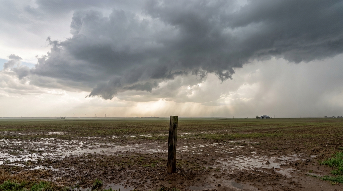
August 07, 2026 Severe Weather Recap: Iowa Tornadoes and Mid-Atlantic Flash Flooding
Y'all, yesterday was a busy one, and it wasn't confined to just one corner of the map. A mesoscale convective system rolled off the central Plains, dropped a tornado near Waverly, Iowa, and then the same broad pattern went on to dump flooding rain on the Mid-Atlantic and Northeast by evening. Add in triple-digit heat and fire weather out West, and you had a coast-to-coast weather story packed into 24 hours.
How the Day Unfolded
The morning started quiet enough down along the Southeast coast, but the humid marine air had other ideas. A trained spotter caught a waterspout on the Broad River near Port Royal, South Carolina, around 8:25 AM ET, and a boat captain radioed in another one off Isle of Palms about 15 minutes later. A third waterspout showed up off Gulf Shores, Alabama, a couple hours after that. None of these came with damage reports, but three separate waterspout sightings in one morning tells you the atmosphere was primed and moist from the Gulf all the way up the Carolina coast.
The real action built through the afternoon. A cluster of thunderstorms organized into a mesoscale convective system over the central Plains, tapping into deep moisture and building instability as it tracked northeast into the Upper Midwest. Around 3:40 PM CDT, a brief tornado touched down two miles north of Waverly, Iowa. It was confirmed through video shared on social media, not a long-track, high-end tornado, but a real, on-the-ground touchdown. A separate tornado report came in near Readlyn, Iowa, as part of the same afternoon's activity.
Five minutes later and several states away, storms tied to the same broader pattern knocked down power lines in Powell, Alabama. By evening, the severe weather had spread east into the Mid-Atlantic. Around 7:30 PM ET, a tree came down on Barcutt Road near Spencer, West Virginia. Half an hour later, 911 centers in Henrico County, Virginia, started fielding multiple calls about trees and power lines down in the Tuckahoe and West End neighborhoods. Back in Iowa, broadcast media relayed a report of large hail, estimated one to three inches, near North English overnight.
While all that was happening, a separate flooding threat was unfolding in the Northeast corridor. Lancaster County, Pennsylvania, and Danbury, Connecticut, both saw flash flooding serious enough to require water rescues. Clarion County, Pennsylvania, and Follansbee, West Virginia, dealt with structural inundation and road closures from the same heavy rain bands. Deep tropical moisture feeding into that corridor made these storms efficient rain producers, the kind that can drop a lot of water in a short window even without much lightning or wind.
Meanwhile, out West, it was a completely different kind of dangerous. Temperatures pushed past 110 degrees in parts of the Western U.S., and Red Flag Warnings covered the Northern Rockies and Pacific Northwest as critical fire weather conditions took hold. Two very different hazards, happening at the same time, on the same day.
What We Can Confirm
- Tornado confirmed near Waverly, Iowa (brief touchdown, verified by public video) around 3:40 PM CDT
- A separate tornado report logged near Readlyn, Iowa, the same afternoon
- Three waterspout reports along the Southeast coast: Port Royal, SC; Sullivans Island, SC; Gulf Shores, AL
- Wind and tree damage reports in Powell, AL; Spencer, WV; and Henrico County, VA
- Large hail (1 to 3 inches) reported near North English, IA
- Flash flooding and water rescues in Lancaster County, PA, and Danbury, CT
- Structural inundation and road closures in Clarion County, PA, and Follansbee, WV
- Red Flag Warnings active across the Northern Rockies and Pacific Northwest
- Western U.S. heat exceeded 110 degrees in multiple locations
Forecast Versus Reality
The severe weather and flooding on August 7th came during a stretch that forecasters had already flagged as active and unsettled across the Midwest and Mid-Atlantic. That stretch continued right on schedule, storms fired, a tornado touched down, and flash flooding hit the Northeast corridor, all consistent with the pattern that had been building for days.
What's worth noting is where attention had already shifted by the time this recap gets written. The latest outlook, issued right after yesterday's event, was already looking ahead to a Slight Risk of excessive rainfall for the Carolina Low Country and a bigger, more organized severe threat building for the Midwest on Sunday, centered on Chicago. That tells you something important about August in a pattern like this one: the ingredients don't fully clear out, they just relocate. Yesterday's Iowa tornado and Mid-Atlantic flooding were part of a longer-running theme, not an isolated one-off.
What's Next
SPC has posted a Marginal Risk today for parts of the northern and central Plains, the Upper Mississippi Valley, the Mid-Atlantic, and southern Arizona, with isolated damaging wind and hail possible if storms manage to organize. The bigger story is Sunday, when SPC bumped the Midwest up to a Slight Risk, Level 2, with Chicago, Rockford, and the Quad Cities in the highest-probability zone for damaging wind gusts. A Marginal Risk fans out further to include Indianapolis, Milwaukee, and Cincinnati.
WPC also has a Slight Risk of excessive rainfall posted for the South Carolina and Georgia Low Country today, driven by deep tropical moisture and precipitable water values over 2 inches. Out West, the heat and fire weather threat isn't going anywhere soon. WPC's short-term discussion calls for dangerous heat to persist across the Western U.S. through the weekend before expanding into the Central U.S. next week.
Bottom Line
August 7th showed why this time of year keeps meteorologists on their toes. You had a brief but confirmed tornado touchdown near Waverly, Iowa, a second tornado report near Readlyn, flash flooding severe enough to trigger water rescues in Pennsylvania and Connecticut, and dangerous triple-digit heat out West, all within the same 24-hour window. None of these were record-shattering events on their own, but together they're a good reminder that severe weather season doesn't hand you just one hazard at a time. If you're in the Midwest, keep an eye on Sunday. SPC has already drawn a Slight Risk contour, and after yesterday, that's not a threat to shrug off.