Blog Article
August 10, 2026 Severe Weather Recap: Tornadoes Confirmed
August 10, 2026 recap: EF-1 tornado confirmed near Streator, IL and a tornado near Faith, SD, plus wind damage and flash flooding from AZ to PA.
August 10, 2026 Severe Weather Recap: Two Tornadoes, a Flash Flood Rescue, and a Forecast That Mostly Held Up
Alright folks, let's get into what actually happened on August 10th, because there's a good bit to unpack and a few things the early chatter got a little ahead of itself on.
The headline moment came out of north central Illinois. NWS storm survey teams confirmed an EF-1 tornado just north of Streator. Here's the wild part: this thing didn't just run a straight line, it looped back on itself, carving out a track of about five miles. That's the kind of detail that tells you the parent storm had some serious low-level rotation working with it.
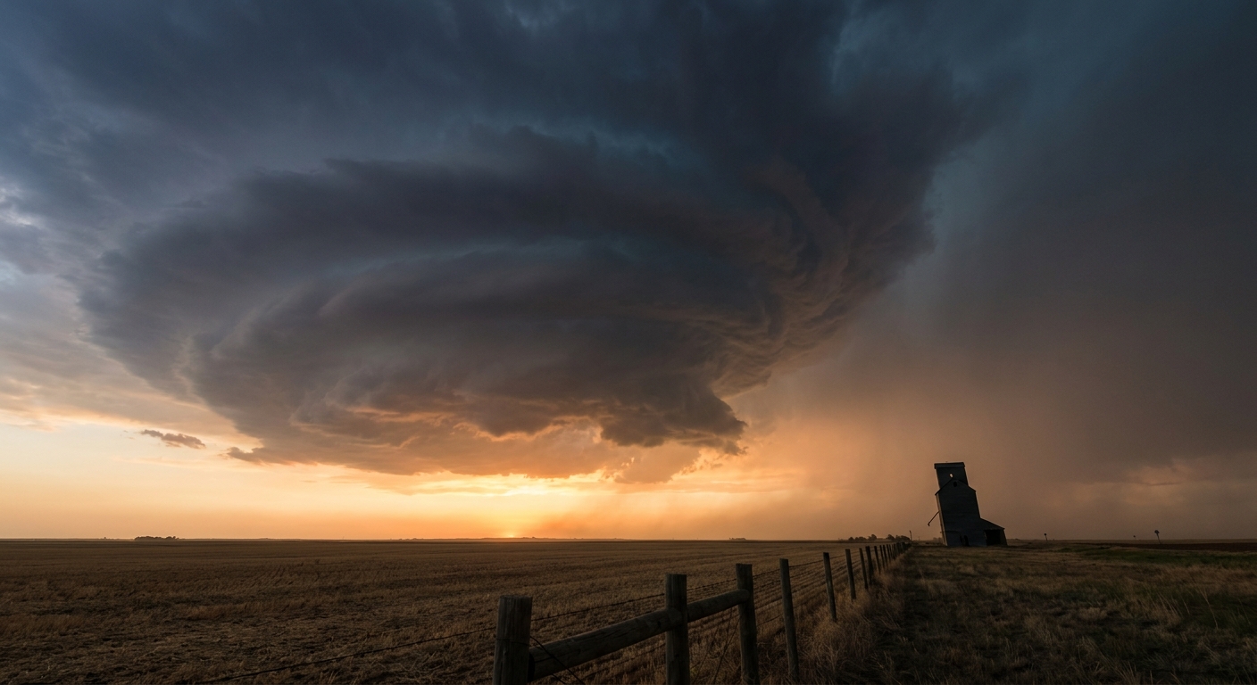
Later that same night, out in western South Dakota, a storm chaser caught a tornado with full condensed ground contact near Faith, working off Highway 73. Debris was getting lofted around the base. No NWS rating has come through on that one yet, so we're calling it what the data supports: a confirmed tornado report, rating pending.
How the Day Unfolded
- Overnight into Monday morning: The Streator, IL tornado touched down, and around the same overnight window, storms in the Phoenix area dropped numerous trees and damaged street signs near Goodyear, AZ.
- Midday: Storm reports shifted east into the Appalachians, with a tree down blocking Creek Bed Road near Pennsboro, WV.
- Afternoon: The Mid-Atlantic got in on it. A tree came down on McConville Road near Lynchburg, VA, and a trained spotter caught a waterspout on the tidal Patapsco River near Fort Howard, MD.
- Late afternoon into evening: A brief landspout spun up south of Sidney, NE, and another brief one showed up southeast of Concho, AZ, lasting about a minute before it fell apart.
- Evening into night: The severe threat wrapped up out on the northern High Plains with that Faith, SD tornado.
- Throughout the day: Flash flooding turned serious enough in Allegheny County, PA that crews ran a water rescue on Peters Creek Road.
That progression, Midwest and Southwest storms in the morning hours, an afternoon and evening push into the Ohio Valley and Mid-Atlantic, then a late shift back to the Plains, is exactly the kind of setup you'd expect from a broad frontal system riding across the country. The data backs up that general trend.
What We Can Confirm
- EF-1 tornado, 3 NNE Streator, IL. Confirmed by NWS Storm Survey. Looping path, roughly 5 miles long.
- Tornado, 8 SSW Faith, SD. Confirmed by storm chaser video, full ground contact, debris visible. No official rating yet.
- Brief landspout, 7 SSW Concho, AZ. About a minute of life before dissipating.
- Brief landspout, 6 S Sidney, NE. Reported after the fact by a chaser.
- Waterspout, tidal Patapsco River near Fort Howard, MD. Confirmed by a trained spotter.
- Tree damage near Pennsboro, WV; Lynchburg, VA; and Goodyear, AZ. All confirmed wind damage reports, trees and street signs down.
- Water rescue, Peters Creek Road, Allegheny County, PA. Flash flooding forced an active rescue.
- Destructive-tagged Severe Thunderstorm Warnings went up in Maryland and South Dakota, the NWS label reserved for the most dangerous wind and hail threats.
Forecast Versus Reality
Here's where I want to be straight with y'all. Yesterday morning's write-up on this event referenced what it called "Sunday's outbreak," including the EF-1 near Streator, an 84 mph gust in Goodyear, and a destructive tag on a warning for Prince George's County, MD. Once the verified reports came in, the picture needed a little adjusting.
The Streator tornado checked out exactly as described. EF-1, confirmed by NWS survey, that looping track is real and it's in the books.
The Goodyear damage report, though, only confirms trees down and street signs damaged. There's no gust reading in the verified log to back up that 84 mph figure, so I can't stand behind that specific number even though the damage itself is real.
Same story with Prince George's County. The destructive tag itself is legitimate, that label did go out for Maryland and South Dakota that day, but the specific PG County warning details aren't something I can independently confirm from what we've got. When the numbers get ahead of the verified data, it's my job to pull them back, even a day later.
Where the forecast really earned its keep was the broader placement. The Ohio Valley and Appalachian wind damage in WV and VA, the flash flood rescue in Allegheny County, and even the Faith, SD tornado landing inside the flagged Northern Plains threat area, that all lines up with what forecasters were watching for. The lesson here isn't that the forecast failed. It's that the first-look numbers in the heat of the moment don't always survive contact with the verified log, and that's exactly why we wait for the survey.
What's Coming Next
The atmosphere is not done with the Ohio Valley. Today, SPC has an Enhanced Risk posted from northern Illinois through the Ohio Valley, covering Chicago, Columbus, Indianapolis, Lexington, and Cincinnati, with a Slight Risk wrapped around it reaching Louisville, Madison, Cedar Rapids, Springfield, and Peoria, and a Marginal Risk stretching out to Philadelphia, Charlotte, DC, and Baltimore. Wind is the headline hazard again, a 30 percent Level 3 numerous damaging wind threat with a hatched zone inside it where gusts could hit 75 mph or better.
On top of that, WPC has a Moderate Risk of excessive rainfall over the Ohio Valley today, their highest category. Precipitable water values near 2 inches mean hourly rain totals up to 3 inches and local totals up to 6 inches are on the table. That flood threat eases to Slight by Wednesday as the severe focus shifts toward the central and northern High Plains, then trims down to Marginal by Thursday.
Farther out, keep an eye on the tropical Atlantic. NHC has a disturbance about 500 miles southwest of the Cabo Verde Islands with a 70 percent chance of development over the next week as conditions turn more favorable. Nothing imminent, but it's worth watching as we head deeper into August. Space weather watchers should also note a G1 minor geomagnetic storm is possible today, nothing disruptive, just a heads up for aurora chasers at high latitudes.

Bottom Line
August 10th delivered two confirmed tornadoes, one EF-1 near Streator, Illinois with a genuinely unusual looping track, and one still-unrated tornado near Faith, South Dakota caught on camera. Add in scattered wind damage from Arizona to Virginia, a couple of brief landspouts, a waterspout on the Patapsco, and a flash flood rescue in Pennsylvania, and you've got a day that lived up to the broad strokes of the forecast even if a couple of specific numbers floating around early didn't hold up under review. That's the difference between a first report and a verified one, and it's why we wait for the survey before we lock in the details. Today's setup looks even more active across the Ohio Valley, so if you're in that Enhanced Risk zone, keep one eye on the sky and the other on your phone.