Blog Article
August 12, 2026 Tornado & Flood Recap: WY, CO, IN
August 12, 2026 severe weather recap: a Wyoming tornado trapped residents, a rope tornado spun near Padroni CO, and Indiana battled flash flooding.
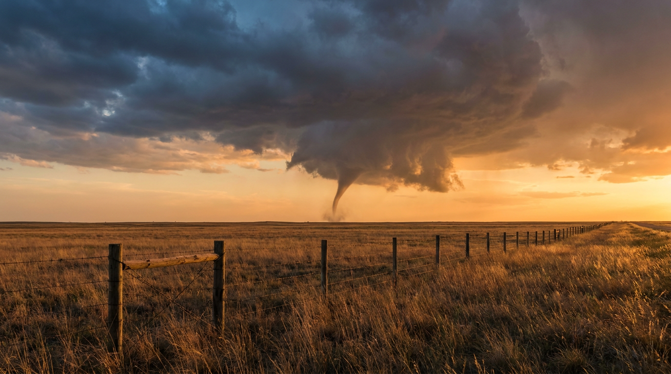
August 12, 2026 Severe Weather Recap: Wyoming Tornado Trapped Residents, Rope Twister Spun Up Near Padroni
Alright folks, let's talk about yesterday. Two separate tornado reports came in from two very different parts of the country, and one of them did real damage to real homes.
The Headline Moment: Reno Junction, Wyoming
Around 12:32 PM Mountain time, a tornado touched down near Highway 59 and Rattlesnake Road, about 14 miles north of Reno Junction, Wyoming. This wasn't a photogenic little spin-up out in an empty field. Fire and rescue crews reported multiple homes and buildings severely damaged, occupants trapped inside, and since rescued. One home lost its roof entirely. Power poles were down, debris was scattered across the area, and a camper got flipped. That's a tornado that mattered to the people who lived through it.
The National Weather Service office in Rapid City fielded that report, and the timing was estimated from a mix of radar and the accounts coming in from responders on scene.
The Rope Tornado Near Padroni, Colorado
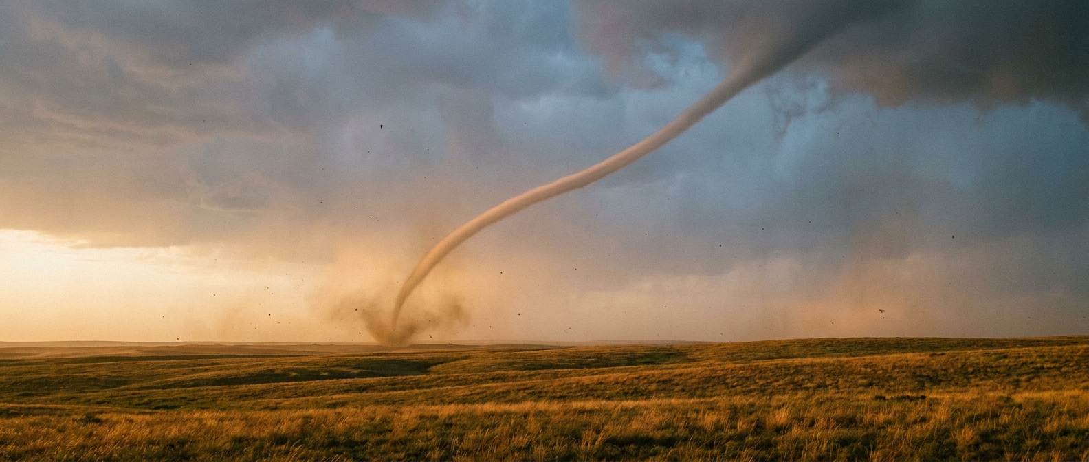
Later that evening, closer to 5:42 PM Mountain time, a storm chaser documented a brief rope tornado about 5 miles northeast of North Sterling Reservoir, Colorado, west of the town of Padroni. Rope tornadoes are usually the tail end of a tornado's life cycle, thin, twisting, and short lived. No damage was reported with this one. It was a clean visual confirmation, not a destructive event, but it counts as a second confirmed tornado for the day.
A Landspout Out in the Nebraska Panhandle
Worth mentioning in the same breath, though it's a different animal than a supercell tornado. Around 4:48 PM Mountain time, a member of the public photographed a landspout circulation southwest of Bushnell, Nebraska, west of Highway 71. Landspouts form differently than supercell tornadoes, usually along a boundary with weak rotation stretched upward, and they're common on hot, unstable High Plains afternoons like this one.
Wind Damage Scattered from Iowa to Georgia
Outside of the tornado reports, the day produced a string of thunderstorm wind damage calls that tracked the broader severe setup:
- Riverdale, Iowa: trees snapped, reported by a trained spotter around 7:34 AM
- Patten, Georgia: a tree blocking Highway 122, reported to Thomas County 911 around 4:05 PM
- Union, Missouri: multiple power lines down, reported by the local emergency manager around 5:28 PM
- Fremont Hills, Missouri: a tree down at an intersection, reported around 6:29 PM
- Lancaster, Kentucky: several trees down along Danville Road, reported around 7:21 PM
None of these were catastrophic on their own, but strung together across five states in one day, they tell you this was a widespread severe weather day, not a single isolated storm.
Indiana's Flooding Kept Grinding
The biggest human impact story yesterday wasn't wind or tornadoes, it was water. Flash Flood Emergencies were declared across multiple Indiana counties as training storms parked over already saturated ground. I-70 near Centerville got shut down. Water rescues were underway in several spots. Lake County alone saw power outages affecting more than 170,000 customers. There was an unconfirmed report of a fatality involving a submerged vehicle in Henry County, and I want to be clear that report has not been confirmed, so treat it as preliminary.
Forecast vs. What Actually Happened
Here's where I want to be straight with y'all. The forecast conversation heading into yesterday and this morning centered on flooding, not tornadoes. WPC had already flagged a Moderate risk of excessive rainfall for the Plains into the Ohio and Tennessee Valleys, and that call was dead on. The ground in Indiana simply could not take another drop, and it didn't. The wind threat was also called correctly, with a 15 percent chance of scattered severe gusts, and that lined up with the tree damage and downed lines we saw from Iowa to Kentucky.
What wasn't the headline story going in was tornadoes. Neither the Wyoming supercell nor the Colorado rope tornado was flagged as a major concern in the outlooks I was tracking for that region. That's a good reminder that even in a pattern dominated by flooding and marginal wind risk, you can still get a tornado spin up where storms find enough shear and instability to organize, especially out on the High Plains where boundary interactions can be subtle until a storm is already rotating.
What's Coming Next
SPC has a Slight risk of severe storms today across Iowa into Illinois, mainly for damaging wind with an isolated hail and tornado chance layered underneath. That risk broadens into a Marginal category tomorrow and Saturday, stretching from the central High Plains into the Midwest, Ohio Valley, and even the Carolinas by day three. WPC still has flooding on the radar too, with a Slight to Moderate risk lingering over the same waterlogged corridor from the Plains into the Ohio Valley today before easing back to Slight through the weekend.
Out in the Atlantic, Tropical Depression Cristobal is winding down about 600 miles west of the Azores and NHC expects it to dissipate. There's a tropical wave out near the central Atlantic that could briefly organize into a short lived depression in the next day or two before it runs into strong upper level winds and dry air. Nothing there threatens land right now, but it's worth keeping an eye on as we move deeper into the season.
Bottom Line
Yesterday was a flooding story first and a tornado story second, and the data backs that up. Indiana bore the brunt of the human impact with flash flood emergencies, a highway closure, and six figure power outages. But two confirmed tornadoes, one that trapped people in damaged homes near Reno Junction, Wyoming, and one brief rope tornado near Padroni, Colorado, remind us that severe weather doesn't always announce itself with a big red outlook box. The rescues in Wyoming turned out fine, and that matters. Warning systems and quick response from fire and rescue crews made the difference between a bad day and a tragedy. Keep watching the sky, even on the days the forecast says rain is the main event.