Blog Article
August 24, 2026 Severe Weather Recap: Hail, Wind, Floods
A full recap of August 24, 2026 severe weather: 3-inch hail and 8.74 inches of rain in North Dakota, wind damage from Louisiana to Florida, and how the forecast held up.
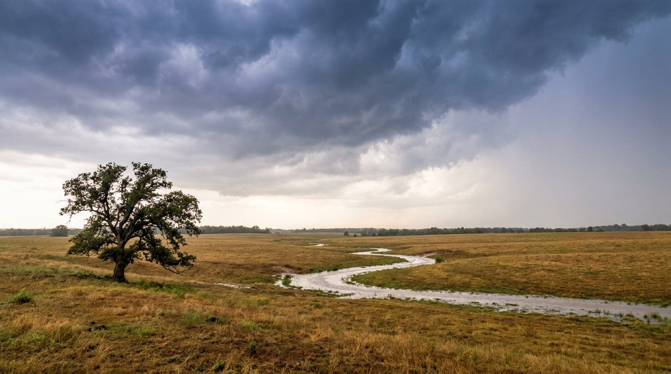
August 24, 2026 Severe Weather Recap: Giant Hail, Record Rain, and a Coast-to-Coast Wind Damage Day
Alright folks, Monday was a busy one. Not a single-region kind of day, but the kind where you're bouncing between four or five states on the radar trying to keep up. By the time it was all over, we had giant hail in North Dakota, flash flooding closing roads in the desert Southwest, and a semi truck flipped on an interstate in Louisiana. Let's walk through how it all came together.
The Headline Moment: North Dakota Gets Hammered
If one spot had to carry the day, it was eastern North Dakota. A mesonet station five miles west of Wishek clocked a 77 mph thunderstorm wind gust. One mile north of Tolna, somebody measured a hailstone estimated at 3.0 inches, that's roughly baseball size, coming down out of a strong storm. And near Rugby, storm-total rainfall hit 8.74 inches, enough to flood basements and turn streets into shallow rivers. That rainfall number is the one I want y'all to remember. That's not a garden-variety thunderstorm total. That's flash-flood-emergency territory, and it happened with barely a mention outside the local area.
How the Day Unfolded
The trend line on this one moved west to east and overnight to afternoon:
- Early morning (overnight into daybreak): Severe wind and monsoonal flash flooding kicked things off out west. Flash flooding closed State Route 238 in Maricopa County, Arizona, and a mesonet site near South Jordan, Utah, in Salt Lake County recorded a 74 mph gust. Trees came down in eastern North Carolina too, with power outages reported near Hope Mills and downed trees near Wagram, both showing up on Dept. of Highways and utility company reports before 6 AM local.
- Midday into afternoon: The action shifted to the Gulf Coast and Southeast. A thunderstorm wind gust overturned an 18-wheeler on I-10 westbound near Norco, Louisiana, an emergency manager confirmed that one directly. Fairhope, Alabama, saw multiple large limbs and trees down. Savannah-area Georgia (White Bluff) had power lines and trees down on Middleground Road and Valentine Drive, all called in by emergency management.
- Afternoon into evening: SPC kept pace with the threat, issuing Severe Thunderstorm Watches 622 for the Central Gulf Coast, and 623, 624, and 625 covering Nebraska, South Dakota, and eastern North Dakota into northwest Minnesota.
- Evening: The Panhandle got its turn too, with a tree down near Ponce de Leon, Florida, called in through the 911 center around 7:40 PM local.
- Late afternoon into evening, Northern Plains: This is where the hail and the historic rain totals piled up, the culmination point for the whole day.
What We Can Confirm
- 77 mph thunderstorm wind gust, 5 miles west of Wishek, ND (mesonet-measured)
- Estimated 3.0-inch hailstone, 1 mile north of Tolna, ND
- 8.74 inches of storm-total rainfall near Rugby, ND, with basement and street flooding
- 74 mph thunderstorm wind gust near South Jordan, UT (mesonet-measured)
- 18-wheeler overturned on I-10 westbound near Norco, LA, due to thunderstorm winds
- Multiple trees and power lines down across Georgia's White Bluff area, Fairhope AL, and the Florida Panhandle near Ponce de Leon
- Tree damage and power outages near Hope Mills and Wagram, NC, reported before dawn
- Flash flooding closure of SR 238 in Maricopa County, AZ
- Four Severe Thunderstorm Watches issued (622, 623, 624, 625) covering the Gulf Coast and Northern Plains
I want to be straight with y'all on one thing. Our event-tracking flagged a tornado report as part of Monday's activity, but the verified reports we pulled for this recap don't include a confirmed location or damage detail for it. Rather than guess, we're leaving it out until better information is available. That's the responsible way to handle a gap in the data.
Forecast Versus Reality
Our outlook heading into Monday focused on the Plains and the Upper Mississippi Valley, with wind and hail called as the headline threats over tornadoes, and specifically flagged a corridor where gusts could reach 75 mph or better. That verified. The 77 mph gust near Wishek and the 3-inch hail near Tolna landed almost exactly inside that wheelhouse. Good forecast, good outcome match.
Where the day outran the outlook was in its geographic spread. The severe wind reports out of Louisiana, Alabama, Georgia, and the Florida Panhandle, plus the flash flooding in Arizona and Utah's overnight wind gust, extended well outside the Plains-focused Slight Risk zone that got the top billing. None of that is a forecast failure exactly, a lot of that Gulf Coast and Southeast activity came from a separate, more diffuse pattern of scattered convection, but it's a good reminder that a single categorical risk area doesn't tell the whole story of a multi-region severe weather day.
What's Next
The pattern isn't done. SPC has a fresh Day 1 Slight Risk up today for the central and southern Plains and into the Upper Mississippi Valley, covering Amarillo, Duluth, and a stretch of western Kansas, with wind and hail again the primary hazards and only an isolated 2 percent tornado chance in the mix. Day 2 shifts that focus toward the central High Plains near Denver and into the western Great Lakes.
Out in the tropics, it's a crowded board. Tropical Storm Iselle is churning in the East Pacific with 69 mph winds, Tropical Storm Julio trails behind it, Tropical Storm Lala sits north of Pearl and Hermes Atoll in the Central Pacific, and the remnants of Moke are tracking southwest of Hawaii. None of these systems threaten the U.S. mainland right now. Closer to home, the National Hurricane Center is watching a broad area of low pressure northeast of Bermuda (Invest 95AL) with a 40 percent chance of development through 7 days, but it's expected to run into hostile upper-level conditions and likely won't organize into anything long-lived.
What This Teaches Us
Monday is a good case study in why meteorologists talk about severe weather in terms of ingredients spread across a continent, not just one outlook box. The Plains got the textbook hail-and-wind event the models had been advertising for days. But the Gulf Coast and Southeast picked up scattered severe wind damage from a separate flow, and the Southwest dealt with its own monsoon-driven flash flooding on top of that. Reading three or four regional threats at once is harder than reading one big outlook, but it's what a day like this demands.
Bottom Line
Monday's severe weather delivered on the Plains forecast almost point for point: strong wind gusts, giant hail, and a historic rainfall total near Rugby that triggered real flooding problems. What the outlook didn't fully capture was how far the day's wind damage reports would spread, from Louisiana to the Florida Panhandle to North Carolina. The takeaway for readers: even on a day with one clearly forecast hotspot, keep half an eye on the rest of the map. Severe weather rarely stays inside the lines we draw for it.