Blog Article
August 27, 2026 Severe Weather Recap: Wind, Flooding, Tornado
A full recap of August 27, 2026: a 92 mph Nebraska wind event, deadly Louisiana storm damage, NYC-area flash flooding, and one Colorado tornado report.
August 27, 2026 Severe Weather Recap: Wind, Water, and One Tornado Report
The Moment That Mattered Most
Y'all, before most of us had even poured our coffee, the day's worst outcome had already happened. Just before 4:30 AM Central time, a tree came down on a camper along Sparks Lane near Highway 76 outside Maringouin, Louisiana. A woman inside was found deceased. That report came from the NWS office in New Orleans, tagged as thunderstorm wind damage, and it's a hard reminder that you don't need a tornado warning for a storm to turn deadly. A falling tree in the middle of the night will do it too.
That was the headline of the day. Everything else that followed, the flooding, the wind event, the tornado report, gets talked about because it's dramatic. But that fatality is the number that actually matters most.
How the Day Unfolded
Morning: Scattered, mostly sub-severe convection fired up across the Ohio and Lower Mississippi Valleys, with a few localized flash flood warnings. That's where the Louisiana tragedy happened, early and largely out of the severe-weather spotlight.
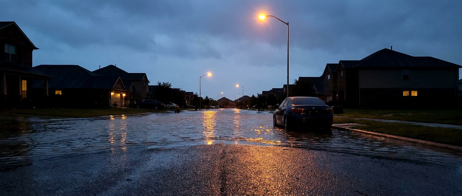
Afternoon: The action shifted hard toward the Northeast and Mid-Atlantic. Rain rates got out of hand fast. A mesonet gauge in Gloucester County, New Jersey, measured 5.24 inches of rain, enough to push Alcyon Lake over its banks and send Mantua Creek to flood stage at Pitman. Water rescues followed for trapped motorists on Staten Island, in Elizabeth and Mullica Hill, New Jersey, and in Parkesburg, Pennsylvania. The Storm Prediction Center issued Severe Thunderstorm Watches 630, 631, and 632 to cover the northern Mid-Atlantic, New York, Pennsylvania, and southern New England. Radar-indicated Tornado Warnings also went up for central Saratoga County and Washington County in New York, and Lancaster County, Pennsylvania. To be clear about what we actually know: those were radar-indicated warnings, meaning the radar signature looked like it could produce a tornado. We don't have a confirmed tornado touchdown tied to any of those three warnings in the data.
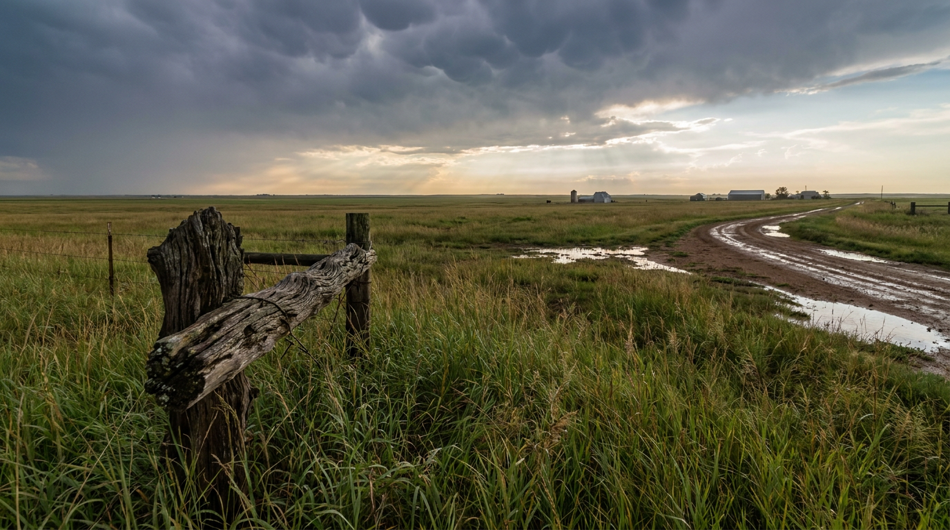
Also somewhere in that afternoon window, a member of the public called in a tornado report 3 miles northeast of Rosita, Colorado, relayed through Fremont County dispatch. The location on that one is listed as estimated, and there's no damage detail or rating attached. It's the one confirmed tornado report of the day, and it stands alone, geographically separate from everything happening out east.
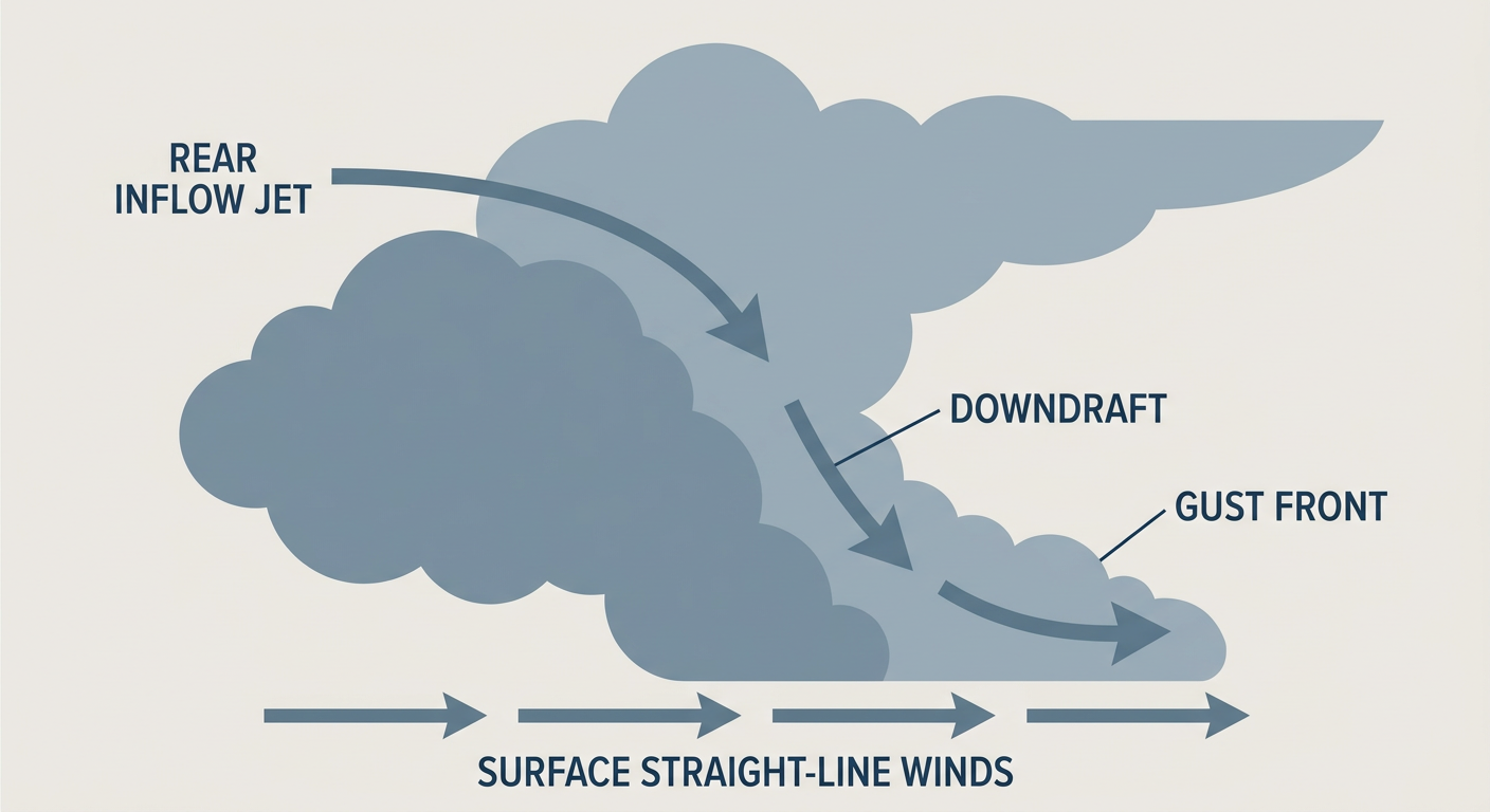
Evening: This is when things got loud in Nebraska. A mesoscale convective system rolled across the central part of the state and put down some serious numbers: a 92 mph gust at Stapleton, 75 mph near Tryon, and 71 mph at North Platte Airport. The National Weather Service tagged some of those Severe Thunderstorm Warnings as "Destructive," which is the kind of language you don't see every day. That Stapleton gust was the single strongest wind measurement of the entire day, nationwide.
Leftover reports: Scattered tree-down and road-closure calls kept trickling in through the evening across Virginia (Cherry Grove, Amicus, Elkton, and Gravel Springs), Pennsylvania (Irwin), and New York (Lapeer), all consistent with the broader storm complex working its way through.
What The Data Actually Confirms
- One fatality: a woman killed when a tree fell on a camper near Maringouin, Louisiana, early Thursday morning (thunderstorm wind damage, not a tornado).
- One confirmed tornado report: 3 NE Rosita, Colorado, public-reported, location estimated, no rating or damage details available.
- Measured wind gusts of 92 mph at Stapleton, 75 mph near Tryon, and 71 mph at North Platte Airport, Nebraska, during a Destructive-tagged severe thunderstorm event.
- 5.24 inches of rain measured by a mesonet gauge in Gloucester County, New Jersey, causing Alcyon Lake to overflow and Mantua Creek to reach flood stage at Pitman.
- Water rescues confirmed on Staten Island, New York, and in Elizabeth and Mullica Hill, New Jersey, and Parkesburg, Pennsylvania.
- Severe Thunderstorm Watches 630, 631, and 632 covered the northern Mid-Atlantic, New York, Pennsylvania, and southern New England.
- Radar-indicated Tornado Warnings were issued for Saratoga County and Washington County, New York, and Lancaster County, Pennsylvania, with no confirmed tornado touchdown reported from any of them.
- Tropical Storm Dolly formed in the central Atlantic, while Tropical Storms Karina and Lowell formed at essentially the same time in the Eastern Pacific, a genuinely rare stretch of simultaneous tropical development across two basins.
Forecast Versus Reality
Our most recent tropical coverage called Dolly's formation in the Atlantic and Karina and Lowell's simultaneous spin-up in the Eastern Pacific, and all three of those did in fact happen on the 27th. That part of the forecast held up fine.
What we didn't have flagged ahead of time was the specific severe weather that ended up defining the day: the Destructive-tagged wind event in Nebraska and the flash flood emergency conditions across the New York City metro and New Jersey. Our focus heading into the 27th was on the tropics and on setting up the days ahead, and honestly, that meant we underplayed the Mid-Atlantic flood threat and the Nebraska wind risk in the days prior. That's a fair miss to own. When a mesonet gauge measures over 5 inches of rain in a few hours, or a thunderstorm complex produces a 92 mph gust, that's the kind of impact that deserves more lead time in the write-up than it got.
On the tornado side, it's worth being straight with you: only one tornado report came in all day, and it's a public report out of Colorado with an estimated location, not a confirmed, surveyed touchdown. The radar-indicated warnings in New York and Pennsylvania represent real rotation signatures on radar, but represent risk, not confirmed tornadoes on the ground. That distinction matters, and we'll keep making it every time.
What's Coming Next
Looking at today (August 28) and beyond, the pattern is shifting west. The Storm Prediction Center has a Marginal Risk of severe storms up for parts of the central and northern Plains, the Great Basin and Desert Southwest into the northern Rockies, north Georgia into the Carolinas and Mid-Atlantic, and central and eastern Maine, mainly an isolated damaging wind and hail threat. The Weather Prediction Center also has a Slight Risk of excessive rainfall for the coastal Carolinas, southeast Virginia, and coastal Georgia today, with an approaching upper jet streak and precipitable water values that could support locally heavy rain rates this afternoon and evening.
By Saturday, the Day 2 outlook sharpens up over the northern Great Basin and northern Plains, with a Slight Risk near Salt Lake City, Provo, and Bismarck, and a Marginal Risk fanning out toward Billings, Rapid City, Cheyenne, and Casper. Some of that activity could produce gusts of 75 mph or better in the most favored corridor. Sunday's Day 3 outlook then nudges the Marginal Risk into the Upper Midwest, covering Omaha, Minneapolis, Madison, Sioux Falls, and Fargo.
On the tropical side, things are still busy. As of this morning there are four active systems: Tropical Storm Karina (52 mph) and Tropical Storm Lowell (46 mph) in the Eastern Pacific, Tropical Storm Dolly (40 mph) in the Atlantic, and Post-Tropical Cyclone Lala well north of Kure Atoll in the Central Pacific. The National Hurricane Center is also watching an area of low pressure expected to form well south of southwestern Mexico this weekend, currently the highest-risk disturbance on the books.
Bottom Line
August 27 wasn't a headline tornado day. It was a wind and water day. A tree falling in the dark took a life in Louisiana. A mesoscale complex put down a 92 mph gust in Nebraska strong enough to earn a Destructive tag. Rain rates in New Jersey overwhelmed a lake and a creek and sent water rescue crews out across three states. And one tornado report came in from Colorado, unconfirmed and location-estimated, a reminder that not every report becomes a surveyed, rated tornado. The lesson for all of us watching this stuff closely: pay just as much attention to flash flood warnings and severe thunderstorm watches as you do to tornado warnings. On the 27th, the water and the wind did more damage, and cost more, than anything spinning.