Blog Article
September 07, 2026 Severe Weather Recap: Tornadoes & Lowell
A full recap of September 07, 2026: confirmed tornadoes from Louisiana to the Dakotas, flash flooding in Iowa and Minnesota, and Hurricane Lowell nearing Hawaii.
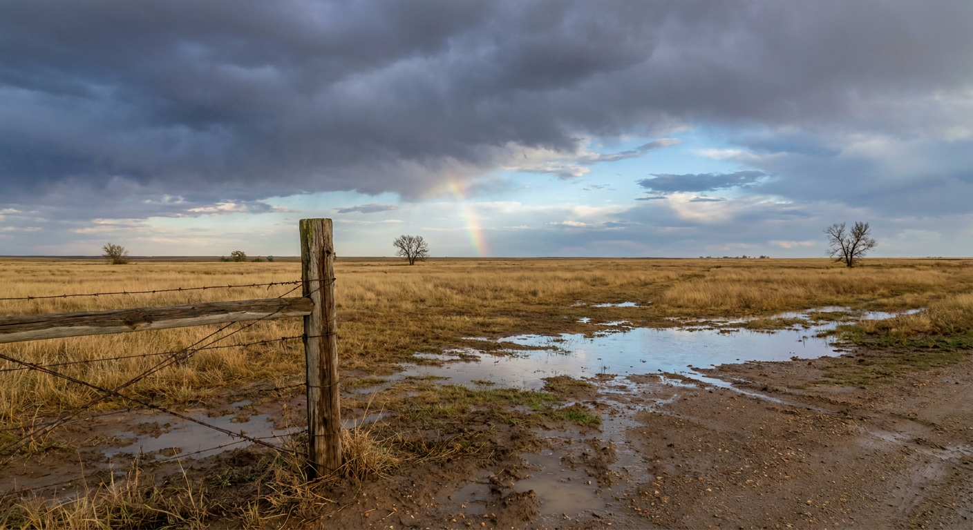
September 07, 2026 Severe Weather Recap: Tornadoes and Flooding Rain Stretch From the Gulf Coast to the Dakotas
Y'all, yesterday didn't have one big headline storm. It had four or five smaller ones scattered across a huge chunk of the country, and that's honestly the harder kind of day to forecast. Let's walk through what actually happened, county by county, warning by warning.
The Headline Moment
The most concrete tornado of the day hit just west of Hammond, Louisiana, in the early afternoon. NWS storm surveyors confirmed a tornado that touched down in a parking lot on West Thomas Street, tracked south-southwest for about three quarters of a mile, and lifted along Saint Road. Survey teams rated it EF-0, with estimated winds near 85 mph and a path width of about 40 yards. Damage was mostly trees, with some minor structural hits along the way. Nobody was hurt in that one, and that's the outcome you want.
Further north, the Plains got their turn. A trained spotter caught a cone tornado six miles south of Strawberry Lake, North Dakota, in the evening. It lasted less than a minute, but the parent storm kept rotating hard well after the funnel dissipated. About an hour later, a storm chaser confirmed a tornado four miles east-northeast of Spencer, Nebraska. No damage details or ratings came in on either of those, so we're calling them tornado reports, not rated tornadoes.
How the Day Unfolded
- Morning (around 7 AM Central): A well-defined waterspout formed southeast of Gulf Breeze, Florida, spotted on a public beach webcam near Oriole Beach. It lasted five to eight minutes and stayed offshore.
- Early-to-mid afternoon: The Hammond, Louisiana tornado touched down around 2:39 PM Central. Around the same time, 911 dispatchers in south Alabama started fielding reports of trees down near Thomasville and Roundhill from thunderstorm wind damage.
- Mid-afternoon on the Atlantic side: Tybee Island Ocean Rescue lifeguards reported three separate waterspouts working just south of the island near Charleston.
- Evening on the northern and central Plains: This is where the day really escalated. A Destructive-tagged Severe Thunderstorm Warning went up for Fergus County, Montana, and spotters near Hilger measured hail up to 3.00 inches, golf-ball-plus size. Wind gusts followed: 73 mph south of Sibley Peak, Wyoming, 71 mph near Butte, Nebraska, and 67 mph at Rapid City Regional Airport in South Dakota. The Strawberry Lake tornado touched down around 6:35 PM Central, and the Spencer, Nebraska tornado report came in around 7:35 PM.
- Late evening: Wind damage reports rolled in from Trenton, Nebraska (multiple dead trees down) and Ringgold, Louisiana, near the Lake Bistineau Dam.
The Flooding Side of the Story
While the Plains dealt with tornadoes and hail, a separate rain-heavy setup dumped serious totals in the Upper Midwest. Otter Tail County, Minnesota picked up 4.0 to 7.0 inches, and Plymouth and Woodbury counties in Iowa saw 3.0 to 4.5 inches, both triggering active Flash Flood Warnings and urban flooding. Down in western North Carolina, McDowell and Rutherford counties got 2 to 4 inches that led to minor flooding around Sugar Hill.
On the coast, Charleston Harbor's tide gauge hit 7.5 feet MLLW, which meets moderate coastal flooding criteria for that station. That's worth flagging on its own, separate from the inland tornado and hail threats.
Hurricane Lowell Kept Grinding Toward Hawaii
The biggest ongoing story of the day wasn't a single storm report, it was Hurricane Lowell steadily closing in on the western Hawaiian Islands. Sustained winds held in the 110 to 120 mph range, and NWS kept a Hurricane Warning up for Kauai County with a Tropical Storm Warning for Oahu. Stream flooding forced road closures on Kauai, and surf overwash did the same on parts of Oahu. This wasn't a landfall yet as of yesterday's data, just a slow, dangerous approach.
Forecast Versus Reality
Our most recent outlook discussion (published this morning, looking at both yesterday's aftermath and today's setup) had Lowell correctly pegged as a weakening but still dangerous system, down from a Category 5 peak on September 2nd to Category 2 with 110 mph winds, exactly where it landed in yesterday's data. That call held up well.
The Iowa and Minnesota flooding threat also tracked close to expectations. The same corridor that dropped 3 to 4.5 inches on Plymouth and Woodbury counties was already flagged as a repeat-offender zone, and that's exactly what happened.
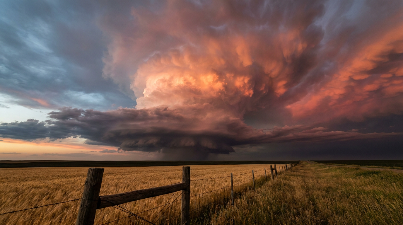
Where things got trickier was the tornado threat itself. The outlook data we had access to for the days around this event leaned hardest on wind and hail, not tornadoes, for the northern Plains. Yet we ended up with confirmed tornado reports spanning Louisiana, North Dakota, and Nebraska, three states, three separate storm systems, in the same 24-hour window. That's a good reminder that a marginal or unmentioned tornado risk on paper can still produce a real tornado on the ground, especially with fast-spinning, low-topped supercells that don't always show up clean on radar until the funnel is already down.
What's Coming Next
- Today (Day 1): SPC has a Slight Risk of severe thunderstorms centered on Omaha, Des Moines, and Council Bluffs, with damaging wind the main concern at a 15% probability in the highest zone. WPC also has a Slight Risk for excessive rainfall over Iowa, layered right on top, so the flood threat from earlier this week hasn't cleared out.
- Tomorrow (Day 2): The severe risk spreads wider but weakens, a Marginal Risk stretching from Kansas City and Wichita eastward through Indianapolis, Columbus, and Cleveland, tied to an upper trough sliding into the Great Lakes and Northeast.
- Hawaii: Hurricane Lowell continues to be the story out west, and Tropical Storm Marie is weakening in the East Pacific, now mostly a surf and swell concern rather than a wind threat.
- Space weather: A G1 (Minor) geomagnetic storm is possible today, September 8th, driven by a coronal hole high-speed stream and recent CME arrivals. Nothing that affects daily forecasting, but aurora watchers at high latitudes might get a treat tonight.

Bottom Line
Yesterday was a spread-out day, not a single dramatic outbreak, but the numbers still add up to real impact. One confirmed EF-0 tornado near Hammond, Louisiana. Tornado reports in North Dakota and Nebraska. Golf-ball-plus hail in Montana. Flash flooding in Iowa, Minnesota, and North Carolina. And a Category 2 hurricane bearing down on two of the Hawaiian Islands with hurricane-force gusts already reported at Barking Sands and Lihue. Our forecast held up well on the big-ticket items, Lowell's track and intensity, the Iowa flood repeat. Where it fell short was flagging just how many separate tornado threats could pop up outside the headline risk area. That's the lesson worth carrying forward: keep an eye on the whole map, not just the shaded polygon, because tornadoes don't always wait for a high-probability outlook to show up.