Blog Article
September 12, 2026 Severe Weather Recap: VA Tornado, Flooding
Full recap of September 12, 2026 severe weather: a confirmed EF-0 tornado near Spring Grove, VA, Plains wind and hail, and major flash flooding coast to coast.
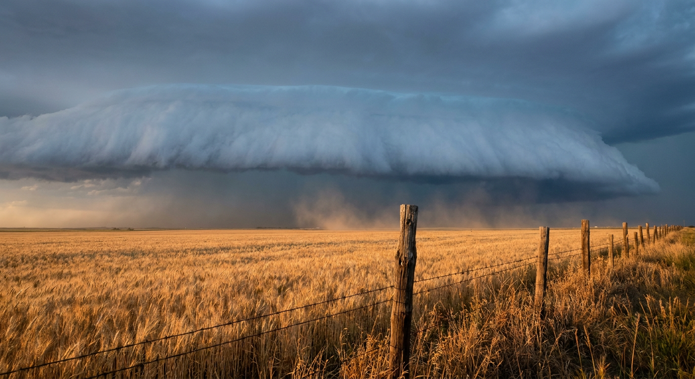
September 12, 2026 Severe Weather Recap: Tornado Confirmed in Virginia, Flooding Stretches Coast to Coast
Alright folks, let's talk about yesterday. September 12 didn't have one single dramatic headline moment so much as it had several fronts of trouble going at once, and the one that got tornado watchers' attention was out east in Virginia.
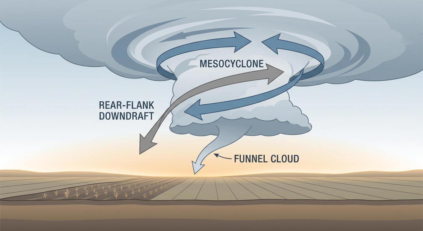
A radar-indicated Tornado Warning (KAKQ.TO.W.0018) went up for Charles City, Prince George, and Surry counties in the evening. Turns out that warning had teeth. NWS storm survey crews later confirmed tornado damage consistent with an EF-0 near Spring Grove, Virginia, right along VA-10 east of town. That's our one confirmed tornado from the day, and it's the reason we're doing a recap post at all.
How the Day Unfolded
Here's the timeline as best we can reconstruct it from the reports:
- Overnight into early morning: Severe Thunderstorm Watch 667 was already up over Oklahoma, southwest Kansas, and the Texas Panhandle. A large limb came down near Mount Vernon, Indiana around 12:46 AM local, an early sign that thunderstorm winds were already active well east of the watch box.
- Midday: Broadcast media out of Charleston, South Carolina relayed video of two waterspouts and funnel clouds working offshore near Edisto, a reminder that waterspouts don't need a big severe setup, just warm water and enough instability.
- Afternoon: Things picked up across the Southeast and Mid-Atlantic. Wind damage reports came in from West Homestead and Eighty Four, Pennsylvania, along with downed limbs in Grenada, Mississippi. Meanwhile the Atlanta metro was dealing with its own mess, roadway flooding on Interstate 285 in Cobb County and Nickajack Creek running up to a 10.2 foot stage.
- Evening: A waterspout formed near Big Torch Key, Florida, and a landspout touched down and was caught on video near Palm Coast. That's also when the Virginia tornado warning fired, followed by the confirmed EF-0 touchdown near Spring Grove.
- Overnight into the 13th: The real gut punch was flash flooding across the Upper Ohio Valley and Central Appalachians. West Virginia saw a water rescue in Mason County, washed-out culverts in Lewis County, and road washouts in Wood County. Over in Greenfield, Ohio, floodwater actually got into an apartment building. On the other side of the country, persistent monsoon rain in Arizona triggered Flash Flood Warnings with considerable damage tags across Gila, Pima, and Yavapai counties.
- Also worth mentioning: severe thunderstorm winds snapped multiple utility poles along Highway 83 south of Perryton, Texas, part of that same Plains severe complex tied to Watch 667.
What We Can Confirm
- One tornado confirmed: EF-0 near Spring Grove, Virginia, along VA-10, found by NWS storm survey.
- Radar-indicated Tornado Warning KAKQ.TO.W.0018 covered Charles City, Prince George, and Surry counties, Virginia.
- Multiple waterspouts and a landspout reported along the Southeast coast: off Edisto, South Carolina; near Big Torch Key, Florida; and near Palm Coast, Florida.
- Severe Thunderstorm Watch 667 covered Oklahoma, southwest Kansas, and the Texas Panhandle, with reported wind gusts up to 75 mph in Clark County, Kansas, and 71 mph near Collinsville, Oklahoma, plus hail up to 2 inches in Kiowa County, Kansas.
- Utility poles snapped along Highway 83 south of Perryton, Texas.
- Significant flash flooding hit the Upper Ohio Valley and Central Appalachians: a water rescue in Mason County, WV, washed-out culverts in Lewis County, WV, road washouts in Wood County, WV, and floodwater entering an apartment building in Greenfield, Ohio.
- Atlanta metro flooding closed lanes on I-285 in Cobb County and pushed Nickajack Creek to a 10.2 foot stage.
- Arizona's monsoon flow brought Flash Flood Warnings with considerable damage tags to Gila, Pima, and Yavapai counties.
Forecast vs. Reality
This one lines up pretty well, honestly. The setup we'd been watching, Watch 667 over the Southern Plains, panned out with real damaging winds and large hail exactly where it was expected. The Virginia tornado warning and the confirmed EF-0 near Spring Grove also tracked with what radar was showing in real time, and the storm survey backed it up within a day.
Where the day earned its own headline was the flooding. The setup across the Ohio Valley and Central Appalachians had been building for days with repeated rounds of heavy rain, and September 12 is when that pattern cashed in with a water rescue, washed-out culverts, and water actually getting into a building in Ohio. That's the kind of impact that's harder to nail down precisely ahead of time because it depends on exactly where training thunderstorm cells stack up, and yesterday they stacked up hard on already-saturated ground.
What's Coming Next
Looking at today's Day 1 outlook, SPC has a Marginal Risk of severe thunderstorms posted across the Ohio Valley into the Northeast, covering Columbus, Cleveland, Cincinnati, Pittsburgh, and Buffalo. Isolated strong to severe storms are possible again this afternoon and evening, though nothing like the multi-region severity of yesterday.
The bigger story for the back half of the week may end up being moisture, not tornadoes. WPC has Slight Risk excessive rainfall areas posted for both today and Monday, with a corridor across the Midwest and Southwest carrying some eye-catching numbers, precipitable water values approaching the 99th percentile over the Missouri River Valley by Monday and Tuesday. If that pans out, we could be looking at another round of flooding concerns layered right on top of ground that's already saturated from this week.
On the tropical side, Tropical Storm Norbert is still churning in the East Pacific with 52 mph sustained winds, staying offshore and not a US mainland threat, though it's worth watching for Hawaii interests down the line. Behind Norbert, an area of low pressure (Invest 97EP) has an 80% chance of development in the next two days, so that basin isn't done for the season.
Bottom Line
Yesterday's forecast held up where it mattered most. The Plains severe threat delivered damaging winds and large hail right on schedule, and the radar signature on that Virginia storm turned into a real, confirmed tornado. The flooding across the Ohio Valley and Appalachians is the piece to remember though, ground that's already soaked doesn't need a record-breaking storm to cause real damage, it just needs another round of heavy rain in the wrong spot. With more excessive rainfall risk on the board for the next several days, that's the threat worth keeping an eye on heading into the work week.