Blog Article
October 10, 2026 Tornado Outbreak Recap: GA and SC
Full recap of the October 10, 2026 severe weather: confirmed tornadoes in Georgia and South Carolina, record rainfall, and how the forecast held up.
October 10, 2026 Tornado Outbreak Recap
Alright y'all, let's talk about yesterday. October 10 started as a tropical rainfall story and ended as a tornado outbreak story, and both halves of that day deserve a close look.
The Headline Moment
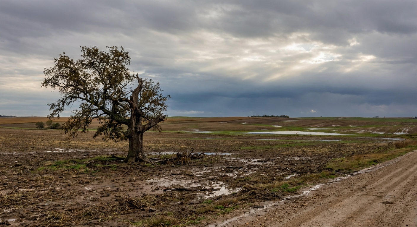
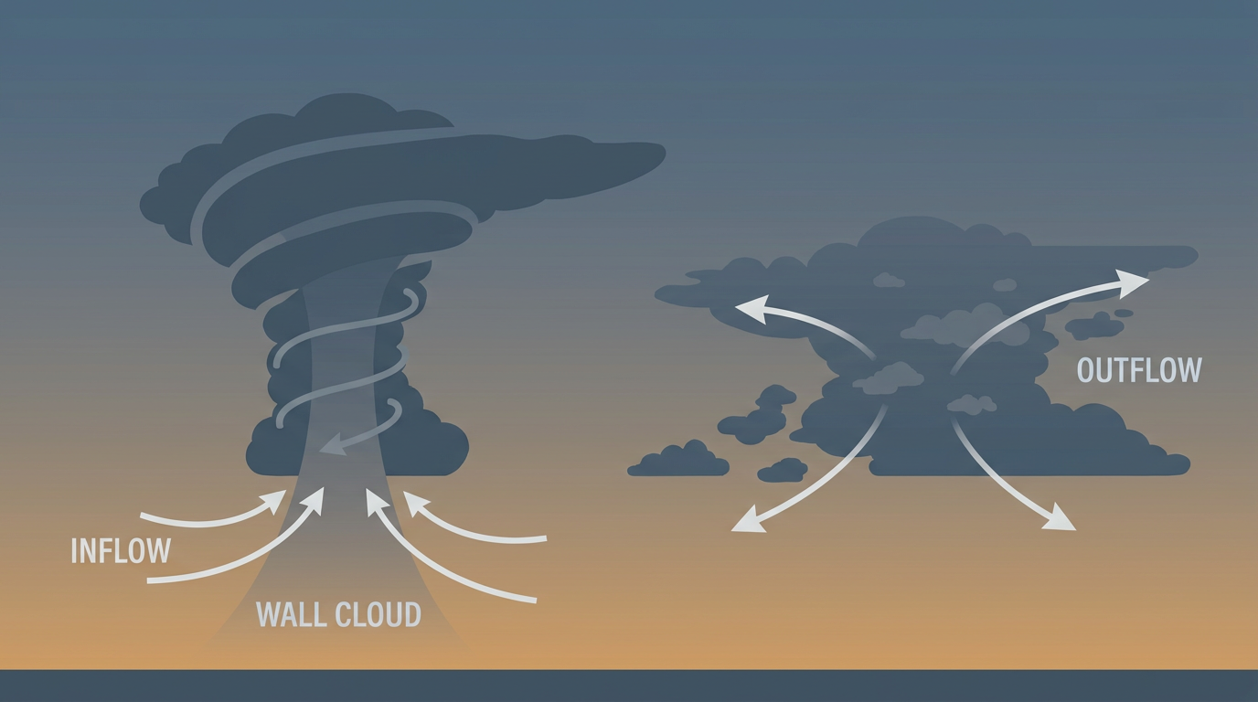
By late afternoon, storm chasers and trained spotters were watching a tornado cross Miller Creek Road near Appleton, South Carolina, live on stream. That wasn't the only one. Between roughly 7 PM and 9 PM Eastern, a line of storms produced at least eight confirmed tornado reports stretching from Screven County, Georgia, into Barnwell and Allendale Counties, South Carolina. The history data behind this recap flagged 14 tornado events total across that stretch, which tells you this wasn't an isolated spin-up. This was a real outbreak.
The worst confirmed damage came out of the Waynesboro, Georgia area, where an emergency manager reported destroyed homes, flipped farm equipment, and widespread tree and power line damage along Highway 80. Near Newington, Georgia, fire and rescue crews measured a damage swath about 200 yards wide near Old Savannah Highway. Near Barnwell and Elko, South Carolina, spotters had tornadoes on the ground and radar picked up debris signatures confirming it.
No EF ratings have come back yet on any of these tornadoes. Damage surveys take days, and when NWS publishes those ratings, we'll report them. Until then, what we know for certain is that multiple tornadoes touched down and caused real damage to homes, farm equipment, and the power grid.
How the Day Unfolded
The morning started with the tropical half of the story. Hurricane Isaias came ashore across the western Florida Panhandle and southern Alabama and weakened fast, dropping from a 90 mph hurricane at landfall to a post-tropical low with 35 mph winds within hours, inland over Alabama. That's a rapid collapse, and advisory responsibility handed off from the National Hurricane Center to the Weather Prediction Center as a result.
While Isaias was falling apart structurally, its moisture was doing serious work. A FAWN station near Caney Creek, Florida measured 12.06 inches of rain in 24 hours. A spotter in Bellwood, Alabama logged 12.97 inches in just 13 hours. That's flash flood territory, and it lined up with the rainfall threat forecasters had been pointing to.
Separately, non-thunderstorm gradient winds, the straight-line kind tied to the pressure gradient around the storm rather than thunderstorm downdrafts, knocked down trees and power lines across Alabama, Georgia, and Tennessee. In Center Point, Alabama, one of those trees fell on a home and killed someone inside. That's a reminder that wind doesn't need a funnel cloud attached to it to take a life.
By afternoon, the atmosphere over eastern Georgia and South Carolina had the ingredients lined up, Isaias's remnant moisture, a boundary, and enough instability to support rotating storms. Tornado Watch 679 went up, and multiple Tornado Warnings followed through the evening as cells tracked northeast through Screven County and across the Savannah River into South Carolina. By late evening, the convection stabilized and the threat wound down, though hydrological impacts from the earlier rainfall and gradient wind damage lingered into the night.
What Was Forecast vs. What Happened
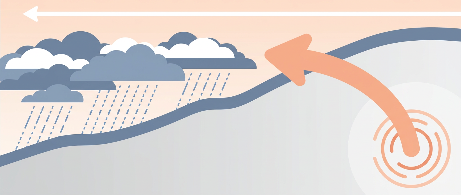
The setup going into October 10 called for Isaias's remnant moisture to interact with a surface front over Georgia and South Carolina, and that's exactly the mechanism that produced the outbreak. Tornado Watch 679 and the string of warnings that followed show the risk was identified and communicated before storms fired, which matters for lead time.
On the rainfall side, the forecast emphasis on heavy tropical rainfall along the northern Gulf Coast also held up well. The nearly 13 inches measured in Bellwood, Alabama and the 12-plus inches near Caney Creek, Florida are squarely in the range that kind of setup produces.
Where the day proved more severe than a quick glance might suggest is in the sheer number of tornado reports. Eight confirmed tornado touchdowns in one evening across a two-state corridor, out of 14 total tornado events logged in the broader record, is a notable outbreak day. It's also a good example of how former tropical systems, even ones falling apart as fast as Isaias did, can still produce dangerous tornadoes well away from where the center makes landfall.
Who Was Affected
- Center Point, Alabama: one fatality when a tree fell on a residence during gradient winds, not thunderstorm activity
- Waynesboro, Georgia area: destroyed homes, flipped farm equipment, and tree/power line damage along Highway 80, confirmed by an emergency manager
- Newington, Georgia: roughly 200 yards of tornado damage swath near Old Savannah Highway, confirmed by fire and rescue
- Barnwell and Elko, South Carolina: tornadoes confirmed on the ground via spotter video and radar debris signatures
- Appleton, South Carolina: tornado captured live on stream crossing Miller Creek Road, with downed trees and power lines
- Northern Gulf Coast: widespread flash flood risk from rainfall exceeding 12 inches in parts of Florida and Alabama
What Forecasters Can Take From This
This event is a solid teaching moment on two fronts. First, a hurricane doesn't have to stay a hurricane to be dangerous. Isaias weakened to a post-tropical low within hours of landfall, but its moisture fed both a flash flood event and a tornado outbreak hundreds of miles from where it crossed the coast. Second, straight-line gradient winds killed someone in Alabama on a day when most of the public attention went to the tornado threat farther east. Both hazards were real, and both needed separate messaging.
What's Coming Next
The pattern hasn't slowed down. Hurricane Simon is a Category 4 off west-central Mexico with sustained winds up to 150 mph, moving slowly north-northwest. Post-Tropical Cyclone Rachel came ashore near Tijuana and is now feeding a Moderate risk of excessive rainfall across the Great Basin and Southwest today, October 11. And Isaias's remnant low is still out there too, now tracking as a post-tropical system through the central Appalachians and Mid-Atlantic, where SPC has a Slight Risk of severe weather posted today for the Raleigh to Richmond corridor, including a 5 percent tornado probability.
Separately, a Strong G3 geomagnetic storm hit yesterday after an M5-class solar flare, and SWPC says G1 to G2 conditions are likely to continue into today as CME effects linger. None of that affects surface weather, but it's worth knowing if you watch the aurora forecasts. And up in Montana, the season's first real winter storm is dropping 6 to 12 inches of heavy wet snow across the higher terrain around Great Falls and Bozeman.
Bottom Line
October 10 was a two-part severe weather day. The tropical half brought historic rainfall totals to the northern Gulf Coast and a fatality from straight-line winds in Alabama. The convective half brought a genuine tornado outbreak to eastern Georgia and South Carolina, with at least eight confirmed touchdowns and real property damage. The forecast correctly flagged both threats ahead of time, and the warning system got watches and warnings out before the worst of it hit. What readers should take away: a dying hurricane can still produce a tornado outbreak far from its center, and non-thunderstorm wind events deserve the same respect as tornado warnings. We'll update EF ratings here once NWS damage surveys are complete.