Blog Article
Oct 11, 2026 Severe Weather Recap: NC Tornado Outbreak
Full recap of October 11, 2026: confirmed NC tornado reports near Candor, Western flooding, Montana snow, and Hurricane Simon's path toward Mexico.
October 11, 2026 Severe Weather Recap: Tornadoes Rake Central North Carolina While the West Floods and Montana Gets Buried in Snow
Alright folks, yesterday was a busy one from coast to coast, but the headline moment came out of Montgomery County, North Carolina. Right around 10:14 in the morning, an emergency manager on the ground near Candor reported one building destroyed, another severely damaged, and several large trees snapped along Hurricane Drive and Hillview Street. That's about as clean a confirmation of tornado damage as you'll get from a local report, and it kicked off a stretch of several hours where central and eastern North Carolina took it on the chin.
How the Day Unfolded
The setup had been brewing overnight. An isolated tornado report came in near Carpenter, North Carolina, just after midnight, a sign the atmosphere was already primed. But the real action started building through the morning and peaked in early afternoon.
- 10:14 AM EDT: Tornado confirmed near 1 NNE Candor, Montgomery County. One building destroyed, another heavily damaged, trees snapped.
- 12:03 PM EDT: Fire and rescue crews reported numerous hardwood and pine trees snapped and twisted near Jordan Lake, with damage coincident with a radar-indicated tornadic debris signature.
- 12:07 PM EDT: A tornado near Clarendon, Pender County, destroyed four structures on one property and snapped a power line, cutting power to the area.
- 12:25 to 1:40 PM EDT: A cluster of additional tornado reports came in from Linden, Carpenter, and Bunn, with trees down and property damage reported by the public and 911 dispatch.
- 1:18 PM EDT: A trained spotter watched a tornado track northeast from near Rankin Street and Beattys Bridge Road toward Highway 421 outside Atkinson, in Pender County.
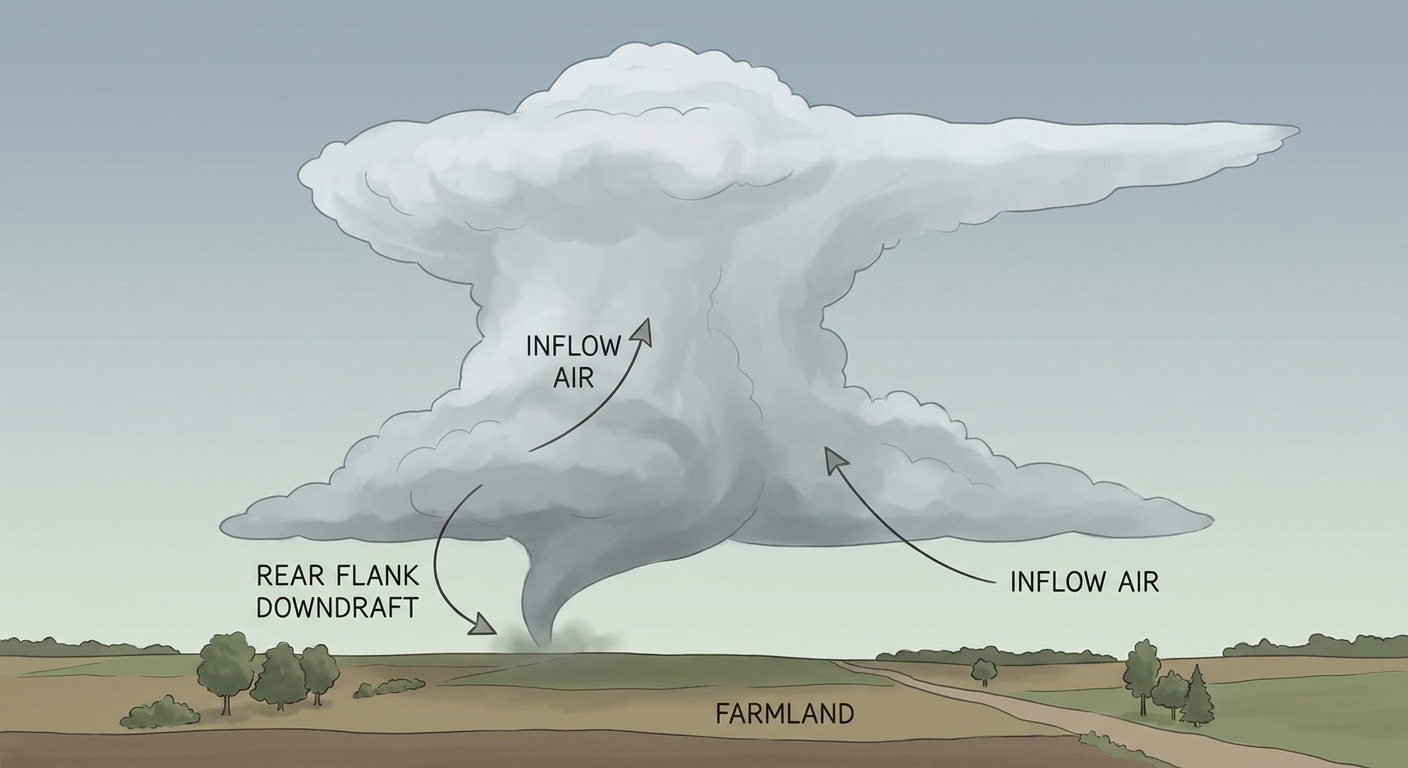
All told, National Weather Service offices in Raleigh and Wilmington logged tornado reports across a broad swath of the state, and Tornado Watches 680 and 681 covered the threat area through the afternoon. This was not a one-and-done supercell. It was a multi-hour outbreak with reports scattered from the Sandhills out toward the coastal plain.
Beyond North Carolina: A Nationwide Spread of Trouble
The Carolinas got the tornadoes, but they were far from the only story.
- Western North Carolina and upstate South Carolina dealt with flash flooding and ground failures, including a landslide reported on Bear Wallow Road in McDowell County and road closures on US-221 and SR-9.
- The desert Southwest caught the remnant moisture from Post-Tropical Cyclone Rachel. Swiftwater rescue teams responded in both San Diego and Las Vegas, and flooding closed State Route 98 in Imperial County, California, and White Hills Road in Mohave County, Arizona.
- Central and southwestern Montana picked up serious early-season snow. The NWS office in Great Falls measured 11.1 inches right on site, Montana City came in at 13.0 inches, and spotters near Neihart reported up to 13.5 inches. That's a notable accumulation for mid-October at those elevations.
- Utah's mesonet caught non-convective wind gusts up to 91 mph south of Burntfork, with 76 mph near Snowbird and 72 mph near Stockton, all tied to a strong pressure gradient moving through the Intermountain West.
- Alamosa, Colorado's ASOS station measured a 75 mph thunderstorm wind gust during severe convection there.
- Offshore Mexico, Hurricane Simon continued churning as a major hurricane, grinding along the coast near Cabo Corrientes.
Forecast Versus Reality
Our most recent daily outlook, published Monday morning, was built around two main threads: Hurricane Simon's approach toward Mexico's coast and Tuesday's severe weather setup for the central and southern Plains. Those calls still look solid as of this morning. Simon remains a major hurricane sitting off Cabo Corrientes, and the Plains severe threat for Tuesday is still on the board with SPC's Slight Risk centered on Kansas City, Wichita, and Topeka.
What that forecast didn't cover was Sunday's tornado outbreak across North Carolina, since it was written looking ahead to the following days rather than back at Saturday's setup. That's worth being straight about. The ground truth from Sunday showed a widespread severe weather day across the Carolinas that produced real structural damage, confirmed by emergency managers, fire crews, and trained spotters on top of public reports. The tornado watches going up over both the Raleigh and Wilmington forecast areas lined up with what actually happened on the ground. When the reports and the watches match up like that, it tells you the warning process worked the way it's supposed to, even if our own outlook didn't have North Carolina circled days in advance.
What's Coming Next
Hurricane Simon is still packing 115 mph winds as a Category 3 as of this morning, continuing to threaten the same stretch of Mexican coastline from San Blas to Manzanillo, with Mazatlan still under a Hurricane Watch. Meanwhile, the National Hurricane Center is watching a broad area of low pressure south of Guatemala, labeled Invest 93EP, which has decent odds of organizing into a tropical depression in the next couple of days.
Closer to home, the Storm Prediction Center has a Slight Risk posted for Tuesday across the central and southern Plains into the lower Missouri Valley, covering Kansas City, Wichita, and Topeka. SPC's probabilities put the wind and hail threat at the Level 2 scattered tier, meaning 60 mph-plus gusts and quarter-size hail are both realistic if storms fire as expected. A broader Marginal Risk stretches from West Texas clear to upstate New York. The Great Basin and Southwest also carry a Slight Risk for excessive rainfall today, so the flash flood threat that hit San Diego and Las Vegas Sunday hasn't fully let up.
Bottom Line
Sunday turned into a genuinely active severe weather day for central and eastern North Carolina, with multiple confirmed tornado reports, structural damage, and power outages spread across several counties in just a few hours. At the same time, flash flooding hit two different corners of the country, a landslide closed a mountain road in western North Carolina, and Montana saw snowfall totals that are impressive even for a normal January, let alone mid-October. The takeaway for forecasters and readers alike: this was a day where the setup for Hurricane Simon and the coming Plains threat drew most of the early attention, but the fastest-moving, most consequential weather actually unfolded over the Carolinas. Watches went up, reports came in fast, and the warning system did its job. That's the part worth remembering heading into another active stretch this week.