Blog Article
October 14, 2026 Severe Weather Recap: TX Tornado, OK Floods
Full recap of October 14, 2026: confirmed tornado near Fort Stockton TX, 75 mph gusts, and 2-11 inches of rain triggering flooding across Oklahoma.
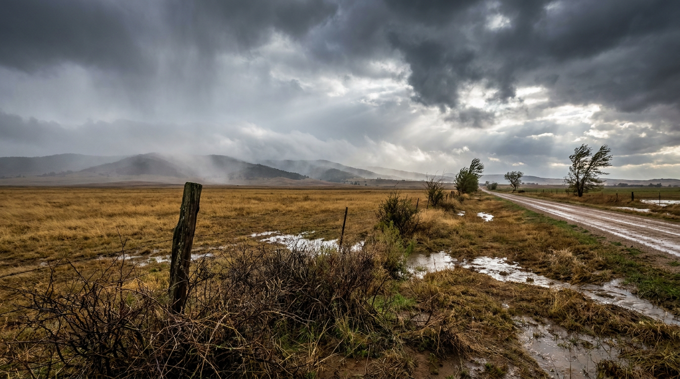
October 14, 2026 Severe Weather Recap: Fort Stockton Tornado, 75 MPH Gusts, and Oklahoma's Flood Nightmare
Alright folks, let's talk about yesterday. October 14 started quiet enough but turned into one of those days where three different hazards were going at the same time in three different parts of the country. A tornado touched down in West Texas. A line of storms carrying a Destructive-tagged warning rolled through the Red River Valley. And Oklahoma spent the better part of the day underwater.
How the Day Unfolded
Things got going overnight into the early morning hours with scattered severe storms and a flash flood threat already brewing over the Central and Southern Plains. By midday, that activity had organized into a slow-moving, training complex of thunderstorms parked over central and western Oklahoma. When storms train over the same ground for hours, you get exactly what Oklahoma got: widespread roadway flooding, road closures, and high-water rescues.
The afternoon and evening brought the second act. Storms fired up again across West and North Texas, this time producing bowing segments with damaging winds, large hail, and a tornado report. The Storm Prediction Center had Severe Thunderstorm Watch 685 up across western and north-central Texas and southwestern Oklahoma to cover it. By evening, secondary storms and more flash flooding broke out across the Ohio Valley and West Virginia, trailing well behind the main action.
What Actually Got Confirmed
Here's what the data backs up, no more and no less:
- A trained spotter and Pecos County Emergency Management confirmed a tornado on the ground 3 to 7 miles northeast of Fort Stockton, Texas, with preliminary reports of damage. No damage survey rating has come through yet, so we're calling it what it is: a confirmed tornado report, not a rated tornado.
- Measured wind gusts hit 70 to 75 mph in Stanton, Texas, 65 mph at the Frederick ASOS in Oklahoma, and 64 mph near Crane, Texas.
- A trained spotter in Stanton, Texas, reported a tree down across a city street. An emergency manager near Valley View, Texas, reported multiple power lines down across a road. Another emergency manager reported downed lines in Greenwood, Texas. A storm chaser near Harrold, Texas, reported sheet metal torn off barns.
- Wind damage reports also came in from southeastern Ohio (trees down in Harlan Township and near Rio Grande) and central West Virginia, where a two-foot diameter tree came down and blocked a road near Buckhannon.
- Rainfall totals across central and western Oklahoma ran 2 to 11 inches, enough to trigger widespread roadway flooding and high-water rescues.
- The Texas Department of Transportation closed a multi-mile stretch of US-83 south of Paducah in Cottle County due to flooding.
- Flash flooding washed out Traugh Fork Road in Doddridge County, West Virginia.
- And in a quieter but genuinely notable moment, NWS Caribou, Maine, officially measured 0.3 inches of snow. That's the station's earliest measurable snowfall since fall 2000.
Forecast vs. Reality
This one's a good example of the forecast doing its job. Guidance going into the day flagged continued flash flood potential over Oklahoma and a severe threat sliding into West and North Texas, and that is exactly how the day played out. The rainfall totals, the high-water rescues, the tornado near Fort Stockton, and the destructive wind threat in the Red River Valley counties all lined up with what forecasters were watching for. No surprises there, which honestly is the best outcome you can ask for when the setup points toward widespread impacts.
If there's a lesson here, it's one meteorologists talk about every fall: slow-moving convective complexes over already-saturated ground are a flood risk even when nobody's talking tornadoes. Oklahoma's flooding wasn't a surprise burst of rain, it was hours of storms training over the same corridor, and that's the kind of setup that turns a few inches of rain into a multi-day cleanup.
What's Next
The pattern isn't done. Today's SPC outlook has a Marginal risk of severe storms stretching from the mid-Mississippi Valley into the Ohio Valley, with isolated severe wind gusts and maybe a tornado or two possible, plus additional isolated wind gusts across the southern Plains. Tornado probabilities sit at just 2 percent and wind at 5 percent today, so this is a watch-and-wait setup, not a take-cover one.
The bigger flood story continues in West Texas, where the Weather Prediction Center has that region under a Moderate risk of excessive rainfall today, the highest category WPC issues short of High. That risk shifts to a Marginal level along the Florida east coast by Saturday as a separate cold front pushes through.
Out in the East Pacific, Hurricane Trudy is sitting around 75 mph as a Category 1 storm several hundred miles south-southwest of Acapulco, with guidance suggesting rapid intensification is possible, potentially as high as Category 4 strength near the coast. Tropical Storm Simon remains close to stationary south-southeast of the Baja Peninsula. Neither system is a direct US land threat right now, but Trudy is one to keep an eye on given how fast that intensification guidance is trending.
Bottom Line
October 14 delivered a genuinely busy day of weather: a confirmed tornado near Fort Stockton, measured gusts up to 75 mph tearing roofs and trees apart across West Texas, and Oklahoma soaking up to 11 inches of rain that turned roads into rivers. The forecast called this one correctly, which is worth saying out loud because it doesn't always happen. If you're in the Ohio Valley or southern Plains today, the risk is lower but not zero. If you're anywhere near West Texas, the flood threat from this same storm system hasn't let go yet.