Blog Article
October 28, 2026 Tornado Recap: MN-WI Severe Weather
Recap of October 28, 2026: confirmed tornado near Danbury, WI, 3-inch hail in Minnesota, Tornado Watch 698 verified, and Vance's offshore track reviewed.
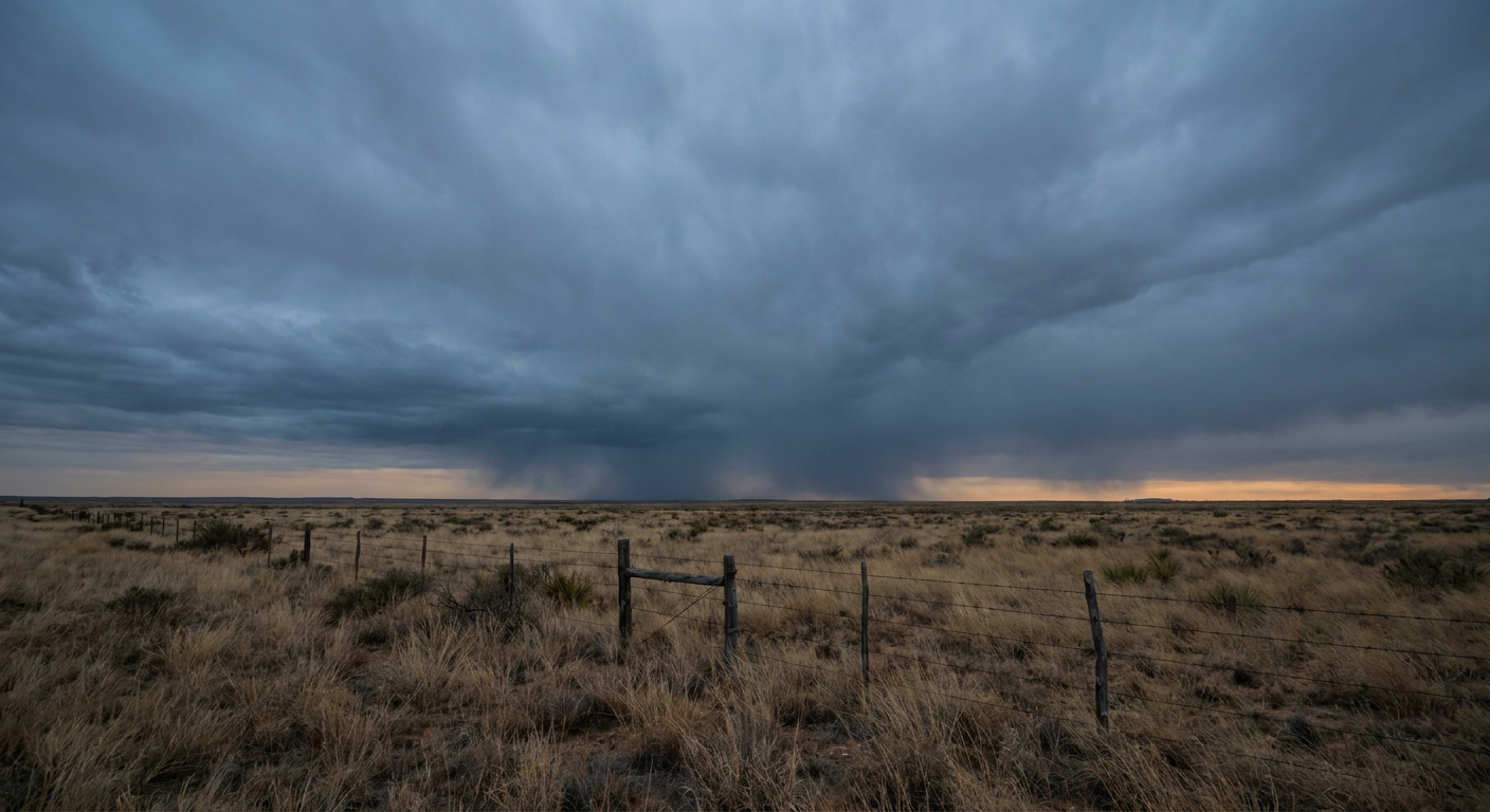
October 28, 2026 Severe Weather Recap: Tornado Confirmed Near Danbury, Wisconsin
Y'all, the headline from October 28th came out of a corner of the map most folks weren't watching that closely. While everybody's eyes were on Tropical Storm Vance out in the Eastern Pacific, the real action Tuesday evening was over eastern Minnesota and northwest Wisconsin, where the Storm Prediction Center's Tornado Watch 698 verified with warnings, a confirmed tornado report near Danbury, Wisconsin, and hail the size of baseballs in Meeker County.
How the Day Unfolded
The morning started quiet, almost sleepy. Low-visibility fog sat over parts of the Plains, and astronomical high tides pushed water into low-lying spots along the Southeast Atlantic coast. Charleston Harbor crested at 7.83 feet MLLW and Fort Pulaski hit 9.74 feet MLLW, both just routine king-tide behavior for this time of year, but enough to put water over the southbound Highway 17 exit ramp onto Highway 61 near South Windermere, South Carolina, by mid-morning.
Out west, a flood report came in from Socorro County, New Mexico, describing a levee breach and evacuations in the Escondida and Pueblito communities, with 9 rescues and 31 homes evacuated. That report was logged as a delayed account from Tuesday night, so it reflects an ongoing situation rather than a brand-new Wednesday event, but it's a real impact worth noting for anyone tracking that corridor.
By afternoon, slow-moving thunderstorms parked themselves over West Texas and southeastern New Mexico. Radar estimated 0.5 to 2.0 inches of rain in spots, enough for Flash Flood Warnings across Lincoln, Eddy, Hudspeth, and Culberson counties.
The real escalation came late in the afternoon and into the evening, when SPC put Tornado Watch 698 up over eastern Minnesota and northwest Wisconsin. NWS offices followed with Tornado Warnings in Dakota, Goodhue, and Pine counties in Minnesota, and Pierce and Burnett counties in Wisconsin.
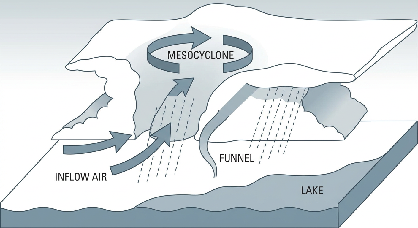
At 22:40 UTC, a public report described a brief, weak rotation on the ground near Danbury, Wisconsin, three miles southeast of town, lofting water, leaves, and small branches as it crossed Love Lake. No damage was noted. That's the confirmed tornado of the day.
Storm damage reports followed close behind. Three miles west of Miesville, Minnesota, a trained spotter logged various sizes of tree limbs down. South of Hampton, Minnesota, a pine tree and limbs snapped at Hillcrest Cemetery, and a public photo showed roof damage to a farm outbuilding near the intersection of MN-50 and MN-56. Up near Cable, Wisconsin, a 911 call center reported multiple trees down around town.
The hail reports were the other story of the night. A public photo confirmed 3.00-inch hail southwest of Grove City in Meeker County, Minnesota, alongside multiple reports of 1.00 to 1.75-inch stones elsewhere in the state. Three-inch hail in late October is not something you see every year in that part of the country.
By late evening, the storms weakened as they moved off, and the atmosphere settled into nocturnal stabilization overnight.
Confirmed Facts from October 28
- Tornado Watch 698 issued for eastern Minnesota and northwest Wisconsin
- Tornado Warnings issued in Dakota, Goodhue, and Pine counties (MN) and Pierce and Burnett counties (WI)
- One confirmed tornado report: brief, weak rotation 3 SE of Danbury, Wisconsin, crossing Love Lake, no damage reported
- Wind damage reports near Miesville and Hampton, Minnesota, and Cable, Wisconsin, mostly downed trees and limbs, plus roof damage to a farm outbuilding
- 3.00-inch hail confirmed southwest of Grove City, Meeker County, Minnesota, with multiple 1.00 to 1.75-inch reports elsewhere
- Flash Flood Warnings issued in Lincoln, Eddy, Hudspeth, and Culberson counties (TX/NM) with 0.5 to 2.0 inches of radar-estimated rain
- Astronomical high tide peaks of 7.83 ft MLLW at Charleston Harbor, SC, and 9.74 ft MLLW at Fort Pulaski, GA
- Tropical Storm Vance weakened to a 35 mph tropical depression, tracking north-northwest offshore western Mexico
Forecast vs. Reality
On Vance, the forecast held up exactly as expected. The storm never reached hurricane strength, stayed offshore of Mexico, and has since weakened further to a 35 mph tropical depression. No landfall threat materialized, which is what forecasters had been saying.
The Upper Midwest tornado watch and the Danbury tornado report are a good reminder that severe weather can develop quickly in a part of the country that wasn't the headline story heading into the day. SPC's decision to post Watch 698 gave Minnesota and Wisconsin residents advance notice, and the warnings that followed in Dakota, Goodhue, Pine, Pierce, and Burnett counties matched up with what actually came down, a brief but real tornado and multiple reports of wind damage and large hail.
Meanwhile, the flash flooding in West Texas and southeastern New Mexico on the 28th was really a preview. The moisture stream tied to Vance's remnants was already working into that corridor a day ahead of the bigger soaking forecasters have flagged for today, October 29th, when WPC has a Slight Risk of excessive rainfall up again for the same general area.
What's Coming Next
Looking ahead, the pattern shifts west. SPC has a Marginal Risk of severe thunderstorms posted for Friday across southern and central Arizona, including Phoenix and Tucson, with isolated damaging wind gusts and quarter-size hail possible. WPC has Arizona under a Slight Risk for excessive rainfall both Friday and Saturday as a Pacific shortwave digs into the Southwest and taps into subtropical moisture.

Farther out, NOAA's space weather outlook calls for a G1 Minor geomagnetic storm on October 31st, and CPC's week-2 hazards outlook points to increased chances of heavy precipitation and wind along the Pacific Northwest and Atlantic coast states by the second week of November.
Bottom Line
October 28th turned into a two-front day: a verified tornado watch and a confirmed, if brief, tornado over the Upper Midwest, paired with the slow grind of flash flooding and coastal high tides elsewhere. Vance behaved exactly as advertised and never threatened landfall. The bigger lesson for forecast watchers is that the headline tropical story and the headline severe weather story aren't always in the same place, and Wednesday proved it. Arizona's turn comes Friday into Saturday, so if you're in that corridor, keep an eye on the sky and stay aware near washes and burn scar terrain.