Blog Article
November 03, 2026 Severe Weather Recap: OK Tornadoes
Full recap of November 03, 2026: confirmed Oklahoma tornadoes near Adair and Talala, Ark-La-Tex wind damage, and flooding from Florida to Arizona.
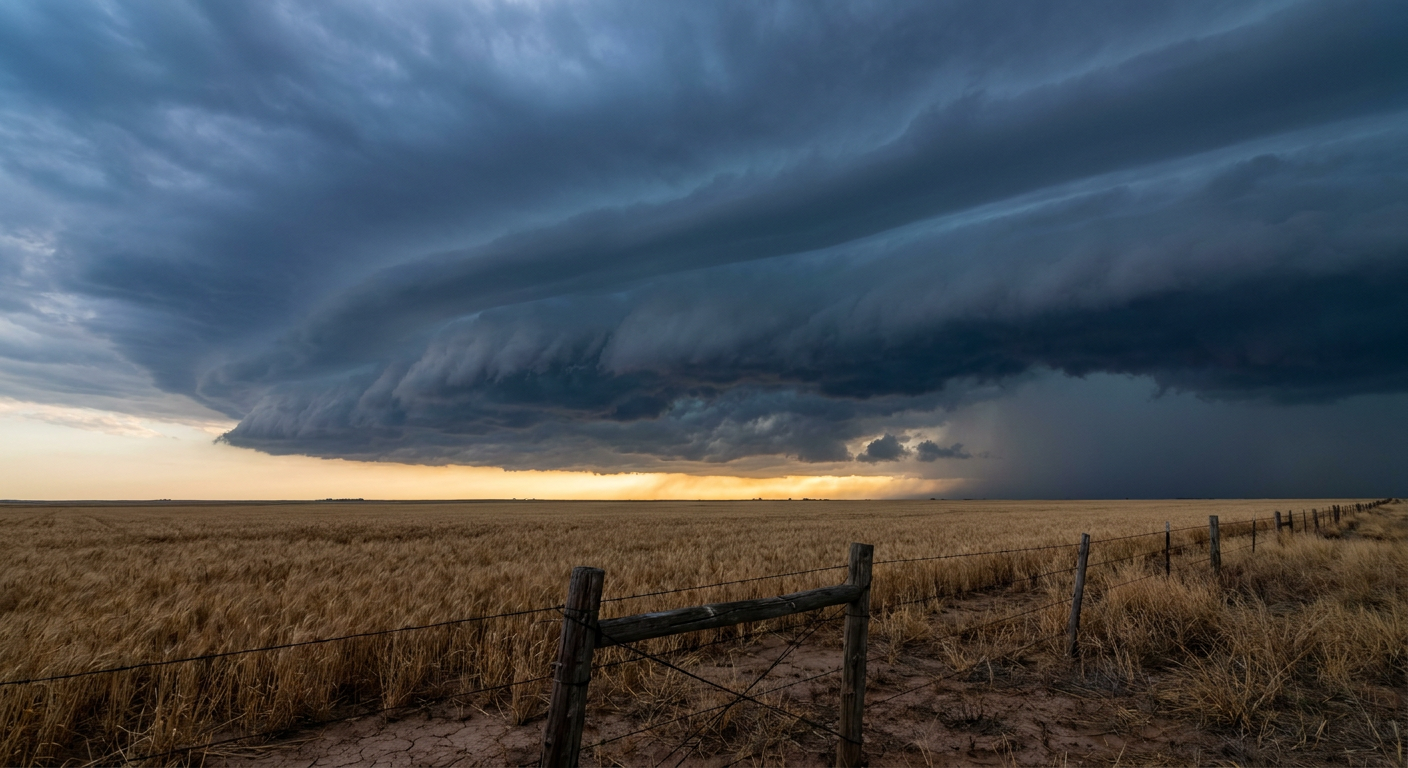
November 03, 2026 Severe Weather Recap: Oklahoma Tornadoes and a Flooded-Out Map From Florida to Arizona
The Headline Moment
Y'all, the overnight hours on November 3rd belonged to northeast Oklahoma. NWS storm survey teams confirmed two tornadoes before the sun even came up. One tornado near Talala, about 4 miles southwest of town, snapped numerous large tree limbs and tracked into terrain so rough that survey crews couldn't follow it by road. The KINX radar actually picked up a tornadic debris signature on that one, which tells you it was strong enough to loft debris high enough for the radar beam to see it. A little later and a few miles away, a tornado near Adair, 2 miles northeast of town, damaged a home, tore up an outbuilding pretty badly, uprooted a bunch of trees, and snapped several wooden power poles. That's real damage, confirmed by boots on the ground, not just a radar signature.
How the Day Unfolded
The setup was a classic Plains squall line riding a warm front northward. It fired up across Oklahoma and Texas in the pre-dawn hours, produced those two Oklahoma tornadoes between about 5:17 AM and 7:10 AM UTC, and then kept rolling east through the morning and afternoon. By midday it had pushed into Arkansas and Louisiana, where it kept its punch as a wind-damage producer rather than a tornado machine, at least based on what's confirmed in the record. We had tree-down reports on AR-19 south of Magnolia, Arkansas, logged twice by the state highway department within about 35 minutes of each other. Fort Towson, Oklahoma reported uprooted trees and outbuilding damage from straight-line wind. Doyline, Louisiana had a tree down on LA-164. And out in Missouri, well ahead of the main line's eventual path, a report near Renick described a damaged barn and topped trees from a separate convective cluster tied to the same larger pattern.
By late afternoon the line had lost its tornadic punch and broadened into more of a straight rain band pushing into the Mid-South and Tennessee Valley, with isolated sub-severe gusts instead of discrete supercells. That's a textbook evolution: discrete cells early in the day near the warm front, then linear and messier as the system matures and moisture gets consumed.
It Wasn't Just Severe Weather
While Oklahoma and the Ark-La-Tex corridor dealt with tornadoes and wind damage, three other corners of the country had their own problems:
- Southeast Florida: Broward County picked up a Flash Flood Warning after radar estimated 2 to 3 inches of rain in a short window, enough to cause localized urban flooding.
- Central and South-Central Nebraska: Seven counties went under Areal Flood Warnings after multi-day rainfall totals ran between 3.0 and 4.84 inches, unusually heavy for early November.
- San Juan County, New Mexico: River Flood Warnings stayed up along the Animas and San Juan rivers, and law enforcement had to perform a swift water rescue at Murray Bridge over the Animas River.
- Coconino County, Arizona: A Flash Flood Warning stayed active for the Havasu Creek basin after an automated gauge on Cataract Creek measured a rise of up to 5.38 feet.
- High country snow: Blackhall Mountain SNOTEL in Carbon County, Wyoming measured 10.8 inches of fresh snow, and the Sawpit, Colorado area picked up 5.0 inches, both tied to the same storm system digging through the West.
That's a lot of ground covered by one 24-hour period, from tornado damage in Oklahoma to a water rescue in New Mexico to double-digit snow totals in Wyoming.
Forecast Versus Reality
Here's the honest accounting. We don't have a Nov 2 severe-weather outlook in front of us that specifically flagged the Oklahoma-to-Louisiana tornado threat, so we can't grade that call directly in this recap. What we can grade is the flooding thread. Our post heading into the morning of November 4th noted that the Southeast and Florida corridor had already proven itself touchy after Brevard County's Flash Flood Emergency on November 2nd, with rainfall near 13 to 20 inches in spots. That same post pointed out Broward County had picked up a Flash Flood Warning the evening before, meaning the signal was already playing out as written. That part of the forecast thinking held up. The ground, soils, and drainage systems across South Florida were primed, and it didn't take much more rain to cause trouble again.
What we can't do is pretend the data shows more than it does. Some summary language floating around described radar-tracked tornadoes near Belcher and Gilliam, Louisiana, and near Deberry, Texas into Caddo and De Soto Parishes. We're not repeating those as confirmed tornadoes in this recap because the verified local storm report record we have only documents the two Oklahoma tornadoes, at Adair and Talala, both backed by NWS storm survey teams on the ground. Tornado Warnings absolutely went up across that Ark-La-Tex corridor, and multiple Severe Thunderstorm Warnings followed the line east. But a warning is a forecast of danger, not a confirmation of a tornado on the ground. We'd rather tell you what's confirmed than pad the tornado count.
What's Coming Next
The pattern is shifting. SPC has a Marginal Risk up today, November 4th, for a corridor running through Atlanta, Knoxville, Chattanooga, Anniston, and Gadsden, with just a 2 percent chance of an isolated tornado and a 5 percent chance of damaging wind if storms do manage to go severe. That's a low-end setup, nothing like the squall line Oklahoma saw. WPC also has a Marginal excessive rainfall risk up for southeast Florida again today, plus the Ohio and Tennessee Valleys and southern Appalachians, where a slow-moving cold front could produce training showers and isolated flash flooding.
Farther out, keep an eye on the tropics even though hurricane season is winding down. The National Hurricane Center has an area well southeast of Hawaii (Invest 95E) with a 70 percent chance of development over the next week, and a separate area in the western Atlantic south of Bermuda with a 50 percent chance of picking up subtropical characteristics through the weekend before conditions turn unfavorable. Neither is a direct US landfall threat right now. Out west, an active Pacific trough will keep feeding high-elevation snow into the Cascades and northern Intermountain West through the next several days, a continuation of the mountain snow pattern we already saw show up in Wyoming and Colorado on November 3rd.
Bottom Line
November 3rd was a day where the Southern Plains squall line did what these early-season systems can do: spin up a couple of confirmed tornadoes in Oklahoma overnight, then weaken into a wind and rain producer as it crossed into Arkansas and Louisiana. Meanwhile, totally separate hazards, flash flooding in South Florida, river flooding and a water rescue in New Mexico, flash flooding in Arizona, and heavy rain in Nebraska, all played out at the same time across the country. The lesson for forecasters and readers alike is the same one we keep coming back to: confirmed ground reports and radar signatures are two different things, and a Tornado Warning tells you danger was present, not that a tornado definitely touched down. Stick with what the survey teams and local reports actually confirm, and you'll have a much more honest picture of what a day like this really did.