Blog Article
Isaias Landfall Tonight While Texas-OU Takes Over Dallas
Hurricane Isaias nears Cat 3 landfall at Navarre tonight as New Orleans wraps its Fried Chicken Festival and Dallas heats up for the Red River Rivalry.
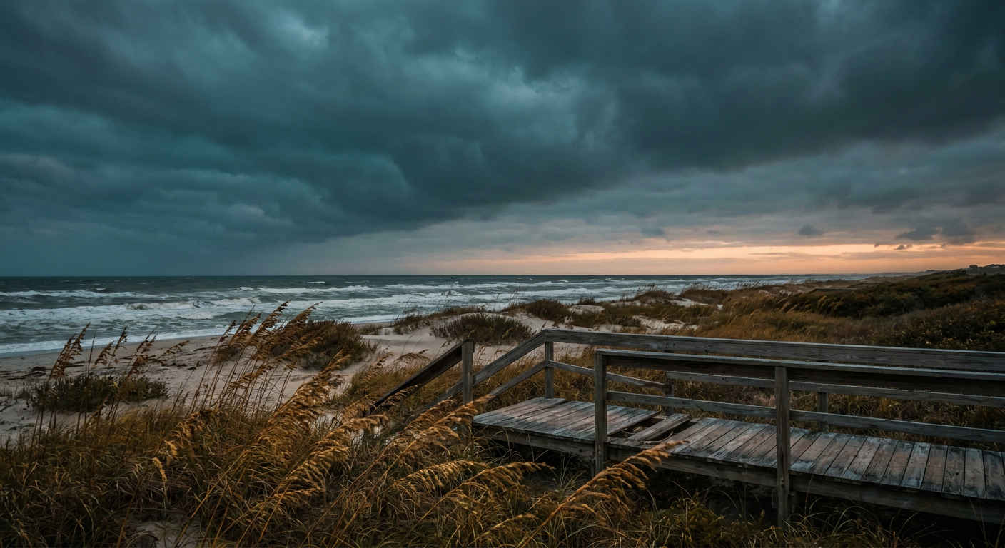
Red River Rivalry, Fried Chicken, and a Cat 3 Hurricane: Welcome to Saturday, Y'all
Alright folks, let's talk about the split screen that is this weekend. On one side of your feed, Texas vs Oklahoma is the number one search in the country right now. Thousands of y'all are arguing about Brent Venables before he's even coached the game. On the other side, there's a Category 3 hurricane about three and a half hours from coming ashore on the Florida Panhandle. Both things are true. Both things are happening tonight. That's just how October works down here.
The Real Story: Isaias Is About to Come Ashore
Here's what's actually unfolding as I write this. Hurricane Isaias is sitting about 90 miles south of Pensacola with 115 mph winds and a central pressure of 959 millibars. That's a strong Category 3. It's moving north at 17 mph, which is quick for a hurricane, and it's aiming for Navarre Beach with landfall expected right around 9 PM Eastern tonight.
The Hurricane Warning stretches from the Mississippi coast to Mexico Beach, Florida. Pensacola, Destin, and Navarre are all sitting in what NHC calls greater than 90 percent odds of tropical storm force winds, with a 20 to 40 percent chance of hurricane force gusts depending on exactly where the eyewall tracks. Mobile is under the same warning with a better than 90 percent shot at tropical storm winds too.
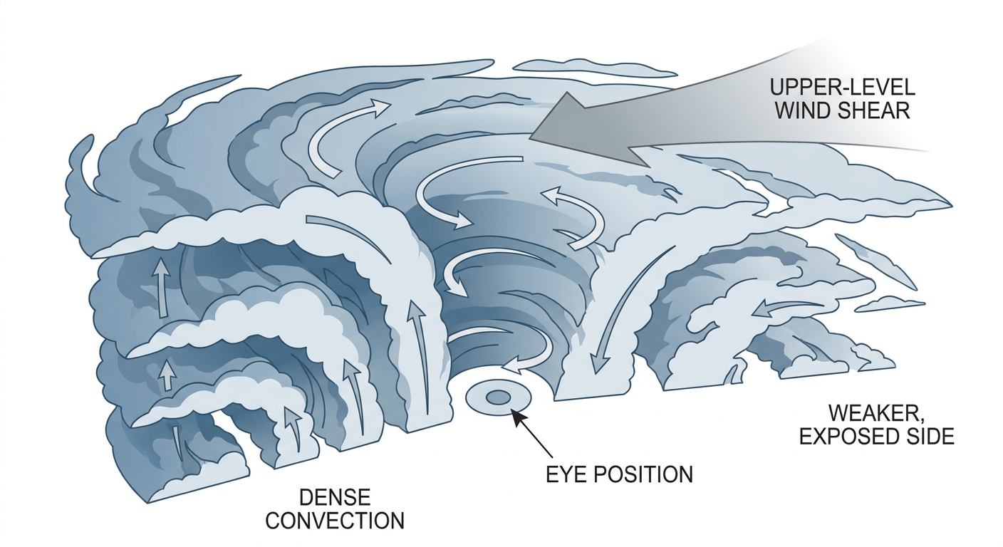
Recon crews have been flying through this thing all afternoon, and the numbers are wild. The Air Force Reserve measured 136 knots at 10,000 feet. NOAA's P-3 found 126 knots at 8,000 feet. Those are flight-level winds, not surface winds, but they tell you the core of this storm still has real punch even as deep southwesterly wind shear (30 to 40 knots) tilts the whole system and shoves the strongest convection into the northern eyewall. That's the technical way of saying Isaias is getting lopsided on its way in. The dangerous side is aimed right at the coast it's about to hit.
The Storm Prediction Center has a Slight Risk out ahead of Isaias's rain bands too, covering the Florida Panhandle into southeast Alabama and southwest Georgia, with a 10 percent chance of numerous tornadoes for about 966,000 people in that corridor. Pair that with a Moderate excessive rainfall risk from WPC across southern Alabama, the Panhandle, and southwest Georgia, and you've got a night where the wind isn't the only hazard. Tornado watches are a real possibility in those outer bands before the center even gets there.
New Orleans Gets Its Fried Chicken In Just Under the Wire
Here's the smaller, more human piece of this. Today is the National Fried Chicken Festival in New Orleans, and that city is sitting under a Tropical Storm Warning with up to a 1 in 10 chance of 39-plus mph winds by Friday evening. The warning is set to wrap up tonight, which means organizers and vendors are threading the needle: the festival runs its course before Isaias's outer influence really leans on the city. It's a good reminder that New Orleans isn't in the bullseye tonight, but it's close enough to feel it at the edges. If you've got friends there posting festival photos, don't be surprised if the wind picks up in the background by evening.
Meanwhile, In Dallas: Hot, Dry, and Breezy for the Rivalry
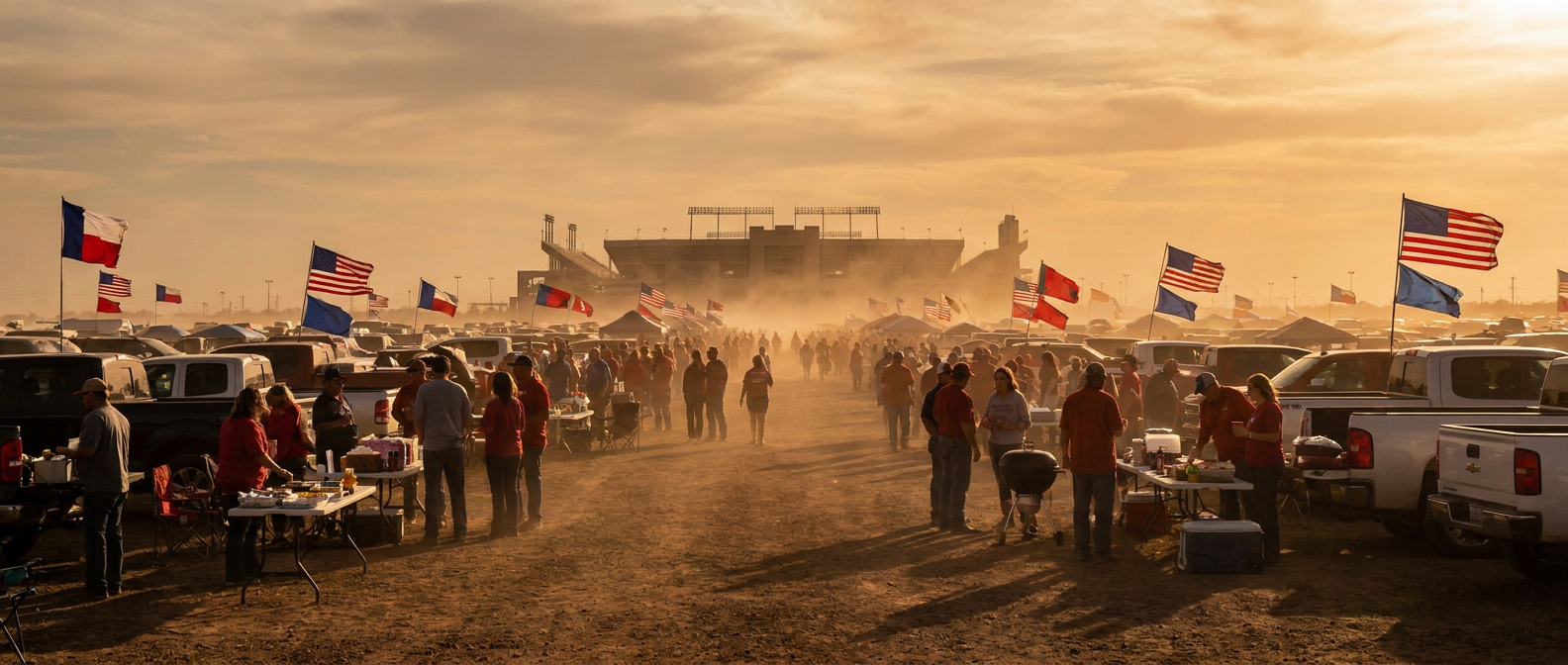
Now for the other Saturday. Texas-OU weekend means the Cotton Bowl, the State Fair of Texas, corny dogs, and a rivalry that doesn't need any help from the weather to get heated. Good news for tailgaters: nothing tropical is getting anywhere near North Texas. The forecast discussion for Saturday has Dallas running into the 80s and even touching 90 in spots, with breezy southerly flow in the 14 to 15 mph range and gusts that could push past 35 mph at times across the broader Plains and Midwest corridor.
For context, Dallas's average high for early-to-mid October sits at 79 degrees. So if you're out at Fair Park tomorrow and it feels more like August than fall, that's not your imagination. It's a legitimate 10-plus degree jump above normal, and the wind will be doing a number on anybody holding a poster board sign or a paper plate of fried food.
The Takeaway
Two totally different Saturdays, same country. Dallas gets a hot, dusty, windy day for one of the biggest rivalry games on the calendar. The Gulf Coast gets a Category 3 hurricane crossing the coastline after dark, with tornado potential riding in ahead of it and heavy rain following behind. Keep scrolling through your bracket arguments and your fried chicken photos tonight, but if you've got people in Pensacola, Mobile, or anywhere along that Panhandle coast, check on them. This is the kind of night where the trending topics and the real forecast are both worth your attention, just for completely different reasons.