Blog Article
NFL Preseason Weather: Ohio Valley Storm Risk This Weekend
Roster-cut weekend brings eight outdoor NFL preseason games into an active weather pattern, with a marginal storm risk over Cleveland and Cincinnati Saturday.
Roster Cuts and Rain Checks: NFL Preseason Runs Into Ohio Valley Storms
Alright folks, here's the deal. This is the weekend NFL rosters get cut to the bone. Every undrafted rookie and camp-body veteran on a bubble is playing like it's the Super Bowl, because for their career, it kind of is. Eight outdoor preseason games are stacked from Friday night into Sunday, spread across Pennsylvania, Florida, Ohio, and New York. And the atmosphere, being the atmosphere, didn't clear its calendar for any of them.
Tonight's Story: A Moderate Risk Over the I-95 Corridor
Before we get to the games, let's talk about what's happening right now. The Weather Prediction Center has a Moderate Risk of excessive rainfall up tonight across far eastern Pennsylvania, central and northern New Jersey, New York City, and far western Long Island. That's the second-highest category WPC issues, and it means a legitimate flash flood threat, not just a wet lawn. A shortwave moving over the Upper Ohio Valley is dragging warm rain processes into the corridor, meaning storms can dump heavy rain even without a ton of atmospheric instability behind them. If you're anywhere near NYC or Philly tonight into Friday morning, keep an eye on your phone for flash flood warnings.
That threat slides south and weakens over the next two days, dropping to a Slight Risk Friday across Virginia and the Carolinas, then down to Marginal along much of the East Coast by Saturday. So the flood story is moving away from the big Northeast cities just in time for the weekend slate, which is good news if you've got tickets in Pittsburgh or New Jersey this weekend.
Friday Night: Pittsburgh Gets the Good End of the Deal
Jets at Steelers kicks off Friday night in Pittsburgh, and honestly, the timing works out. Building Canadian high pressure is settling in across the Great Lakes and Ohio Valley for Friday, and our own outlook has that region reaching BEAUTIFUL conditions, low dewpoints, light wind, minimal cloud cover. If you've got a ticket to that one, dress for a genuinely pleasant August evening.
Down in Jacksonville, Panthers and Jaguars kick off that same night. Florida in August runs on its own clock: afternoon and evening thunderstorms are just part of the deal down there, same as they've been all month with wind damage reports out of the Panhandle and central Florida just this week. Nothing in tonight's data points to a specific severe threat for that game, but if you're tailgating in Jacksonville, watch the sky the way you would any August evening in Florida.
Saturday: The Storms Find Cleveland and Cincinnati
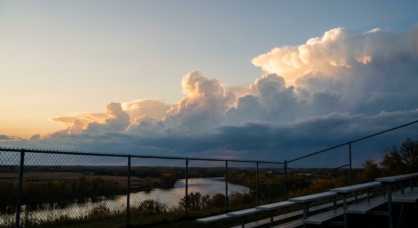
Here's where it gets interesting. Saturday's SPC outlook shows a Marginal Risk of severe thunderstorms stretching from the Upper Ohio Valley into the Lower Great Lakes, and the named cities in that outlook include Cleveland and Cincinnati almost to the letter. That's Bills at Browns (1 p.m. ET kickoff) and Bears at Bengals (7 p.m. ET kickoff), both sitting inside the same zone.
A surface front will stretch from Lower Michigan into southern Illinois Saturday as an upper trough digs southeast across the region. Marginal is the lowest rung on SPC's ladder, it means isolated hail or gusty wind is possible if storms fire, not a washout. But it's worth knowing that afternoon storms are the favored timing, which lines up with the Browns game window and could still be lingering as the Bengals kick off that evening. Ohio's had a rough month for convective weather already, with flash flooding in Logan and Shelby counties just this past Wednesday, so this isn't coming out of nowhere. The pattern's just been parked over that part of the country for weeks.
The Heat Side of the Story
Down south, Giants at Dolphins in Miami Gardens and Chiefs at Buccaneers in Tampa are both playing in a region where August afternoon highs sit right around the seasonal norm, near 91°F for both Miami and Tampa, with the kind of humidity that makes a preseason conditioning drill feel like a sauna session. Nothing severe in the forecast there, just standard late-August Florida heat that players and fans both need to respect.
Sunday night's Seahawks at Titans game in Nashville falls under a similar heat umbrella, with the city's August normal high sitting at 90°F. Nothing threatening, just a reminder that preseason football in the Deep South and Gulf Coast in August means hydration matters as much as the depth chart.
A Quick Word on the Pacific
While all this plays out stateside, Hurricane Lala is holding Category 1 strength out in the Central Pacific, well away from any inhabited islands. The bigger story for Hawaii is Tropical Depression Two-C, tracking west-northwest and expected to bring heavy rain toward the Big Island by early next week. That's worth watching if you've got plans tied to the Best of Hawaii Music Festival in Honolulu on Saturday, since Oahu itself is farther from the projected track but rain bands from a system like this can still reach across the island chain.
The Takeaway
Preseason football doesn't usually make weather news, but this weekend threads through nearly every active pattern we're tracking: a flood risk fading out of the Northeast, a marginal severe threat settling right over two Ohio Valley stadiums, and a heat pattern holding steady across the Gulf Coast. None of it's catastrophic. Most of it's just late-August normal. But if you're headed to Cleveland or Cincinnati Saturday, bring a rain jacket along with your roster predictions.
https://ryanhallyall.com/blog/roster-cuts-and-rain-checks-nfl-preseason-runs-into-ohio-valley-storms