Blog Article
Severe Weather Outbreak: Tornadoes and Giant Hail Threaten Plains
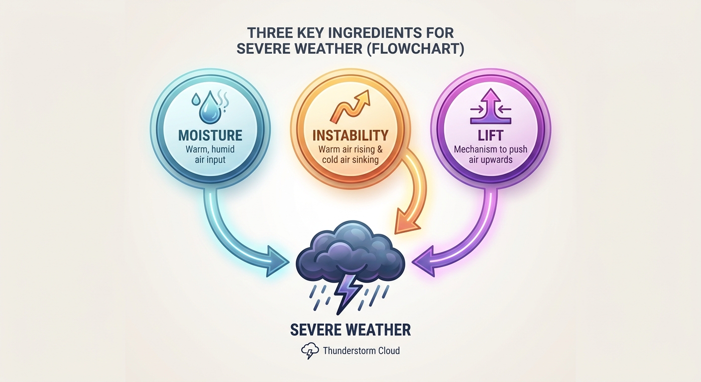
A Moderate Risk for severe weather targets Kansas and Nebraska with threats of softball-sized hail and strong tornadoes. Missouri faces flash flood risks.
Round Two: A Dangerous Monday Setup for the Plains and Missouri
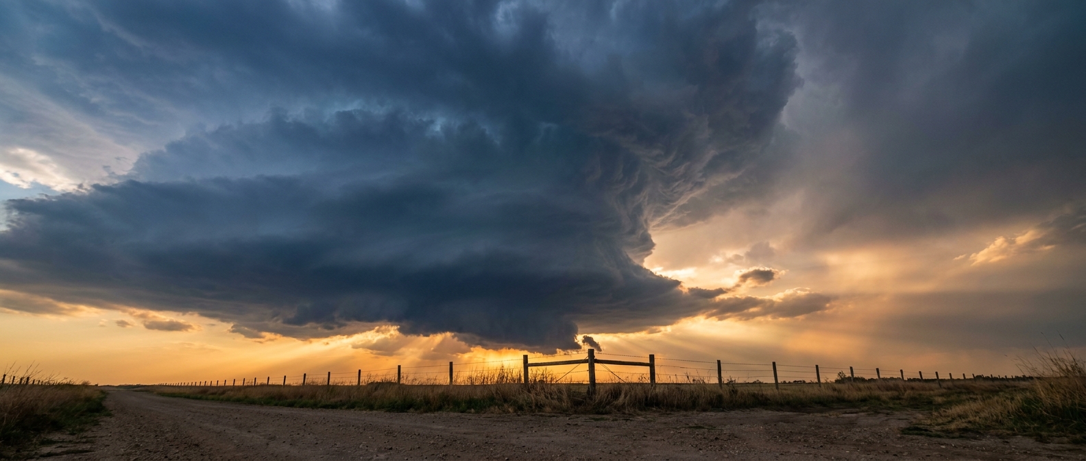
Y'all, yesterday was a rough one. We saw a Particular Dangerous Situation Tornado Emergency in Nebraska, wind gusts over 80 mph, and hail larger than baseballs. I know folks are tired. But we have to keep our guard up today. We are staring down round two of this massive storm system, and it is bringing a little bit of everything to the table.
If you are heading out to Kauffman Stadium tonight to watch the Royals play the Red Sox, you need to pay close attention to the radar. Kansas City is sitting right on the edge of a very volatile setup.
The Severe Threat: Level 4 Moderate Risk
The Storm Prediction Center has issued a Moderate Risk for severe weather today. That is a Level 4 out of 5. The bullseye covers eastern and south-central Kansas, southeast Nebraska, and far northwest Missouri. We are talking about cities like Wichita, Topeka, Salina, and Manhattan.
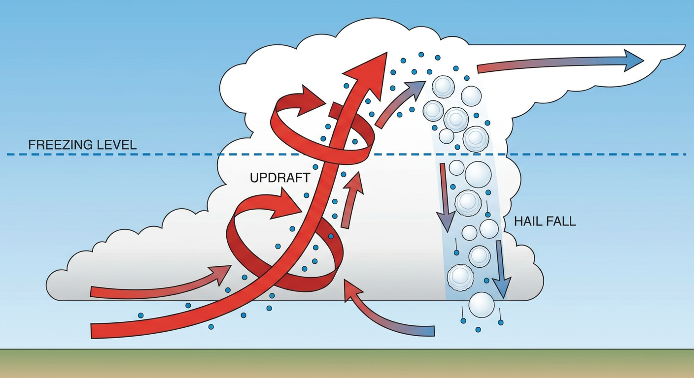
The main hazards are going to be giant hail and tornadoes. The data shows a 45 percent probability for severe hail in this zone. Inside that area, there is a hatched region where hailstones could reach 3.5 inches in diameter. That is softball size, folks. You do not want your car sitting outside if one of those supercells passes overhead.
We also have a 15 percent hatched risk for tornadoes. That hatched label is critical. It means that if a tornado forms, the environment supports it becoming an EF3 or stronger.
The Flood Threat in Missouri
While the Plains deal with the wind and hail, Missouri has a different problem. The Weather Prediction Center has upgraded portions of Missouri to a Moderate Risk for excessive rainfall today.
The short-range models have shifted the track of these storms southward. We are expecting a line of heavy thunderstorms to develop and train over the same areas. When storms move like train cars on a track, the water piles up fast. If your commute takes you through low-lying roads in Missouri, plan an alternate route for this evening.
Fire and Ice Out West
This same storm system is pulling down some incredibly dry air behind it. That gives us an Extremely Critical fire weather area for the Texas and Oklahoma Panhandles, eastern New Mexico, and southeast Colorado. We have high winds and completely dry fuels. One spark out there will cause a massive problem.
Then, get this. Up in the higher elevations of the Central Rockies, we have an Enhanced Risk for winter weather. Places in Wyoming, Colorado, and Utah could see over a foot of heavy, wet snow. Denver usually sees an average high of 71 degrees by mid-May. Instead, they are dealing with a record-breaking cold snap with temperatures 15 to 25 degrees below normal.
Key Factors to Watch Today
- Storm Initiation: We are watching exactly when and where the first discrete supercells fire in Kansas and Nebraska this afternoon. Those early storms carry the highest tornado and giant hail threat.
- The Squall Line: By tonight, those individual storms will likely merge into a line, shifting the main threat to damaging wind gusts up to 75 mph as they push east.
- Flash Flooding: The Missouri moderate rainfall risk means water rescues and flooded roads are highly likely tonight.
- Wind Shift: In the Panhandles, a sharp cold front will bring a sudden westerly-to-northerly wind shift, making any ongoing wildfires highly unpredictable.
The Bottom Line
If you live in Kansas, Nebraska, or Missouri, today is a day to have your weather radio on and your phone fully charged. Know exactly where you will go if a tornado warning is issued for your town. If you are in the fire risk area, do not burn anything outdoors. And if you are traveling through the Rockies, check the road conditions before you try to cross those mountain passes.
https://ryanhallyall.com/blog/round-two-a-dangerous-monday-setup-for-the-plains-and-missouri