Blog Article
NM, West Texas Flood Risk Returns; Hurricane Vance Update
Flash flood threat returns to New Mexico and far west Texas after this week's flooding, plus isolated severe storms, Hurricane Vance status, and a nice fall forecast elsewhere.
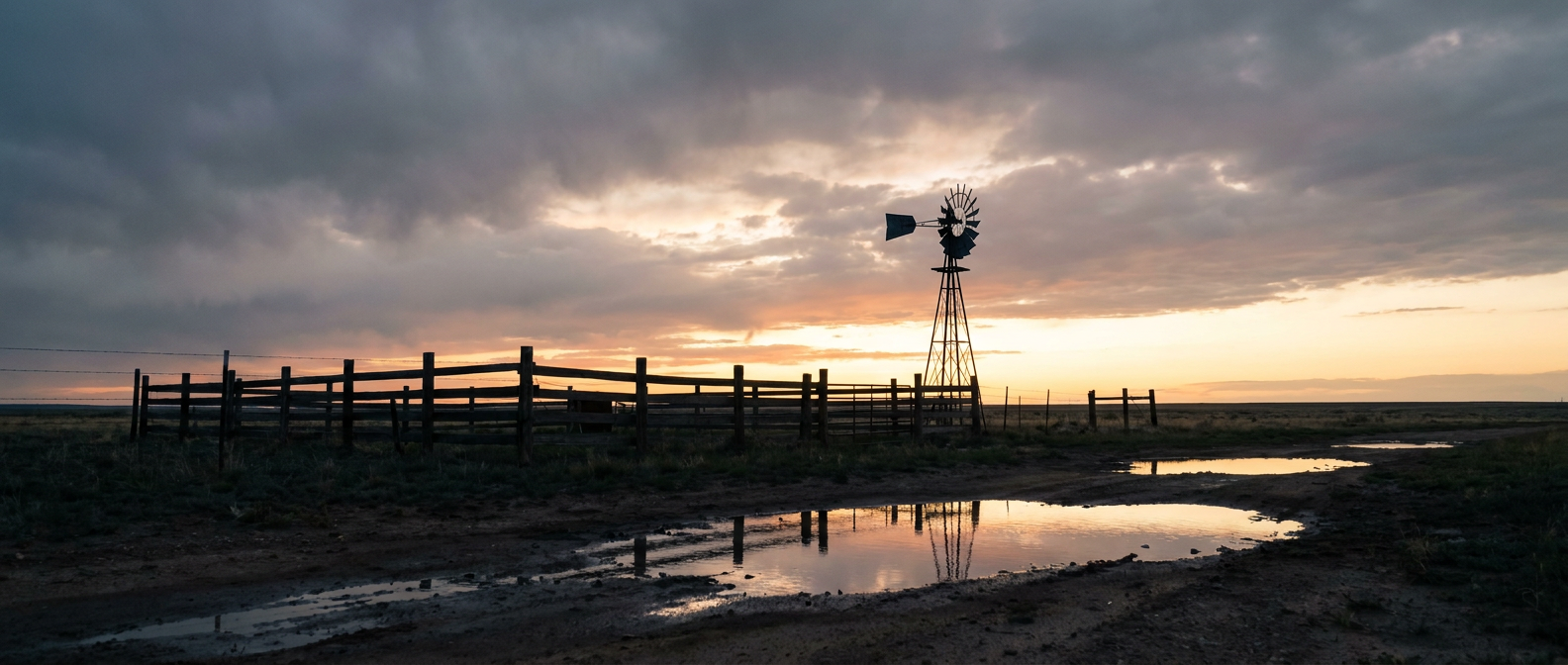
Round Two: Flooding Rain and Isolated Severe Storms Target the Same New Mexico and West Texas Ground That Just Got Hammered
Alright y'all, good morning. If you were watching the news out of New Mexico yesterday, you already know it was a rough one. I-40 got closed near Seama when floodwater ran straight over the interstate. Sky City Casino had water on the first floor. The San Juan River basin stayed in major flood mode. And out toward El Paso, a thunderstorm cranked out a 75 mph gust near Organ and dropped waist-high water on streets in Canutillo. That's not a normal Saturday.
Here's the thing. The ground down there isn't done. Today's setup is a little less dramatic, but it's aimed at a lot of the same real estate.
What's Actually Happening Today
The Weather Prediction Center has a Slight Risk of excessive rainfall posted for the central and southern High Plains today, running into Monday morning. An upper level low is tracking across the Four Corners and the central Rockies, and shortwave energy riding ahead of it is dragging anomalously moist air, both Pacific and tropical in origin, into the south central US. That's basically the same moisture conveyor belt that flooded Farmington and closed that stretch of I-40 yesterday, just with the heaviest focus shifting slightly and the overall intensity coming down a notch.
On top of the flood risk, SPC has a Marginal Risk of severe thunderstorms for central and eastern New Mexico and far west Texas today, covering El Paso, Albuquerque, Santa Fe, Roswell, and Alamogordo. The setup is a midlevel shortwave trough ejecting northeast across the Four Corners. If storms get going this afternoon and evening, isolated large hail and a tornado or two are possible, plus an isolated damaging wind gust across far west Texas. SPC's own numbers put it at a 2 percent tornado chance and 5 percent hail and wind chances in the highest zone, so this is an isolated-storm kind of day, not a widespread outbreak. But given how saturated those soils already are, even one slow-moving storm can produce flash flooding fast.
The towns that got hit hardest yesterday, Farmington, Shiprock, Acomita, Albuquerque's east side, and the El Paso/Canutillo/Anthony corridor, are sitting on ground that simply cannot absorb much more water. Arroyos that already overflowed once this week don't need a lot to do it again.
Monday and Tuesday: The Rain Risk Lingers, Florida Joins In
WPC keeps a Marginal risk of excessive rainfall over the same High Plains zone for Day 2 as the upper low pushes into the Plains and kicks off surface cyclogenesis. Separately, southeast Florida picks up its own Slight Risk by Tuesday, as northeasterly onshore flow keeps pumping in tropical moisture, with precipitable water values pushing past 2 inches. Miami, Fort Lauderdale, and the Space Coast should watch for repeat rounds of heavy downpours and urban street flooding through midweek. This isn't new for South Florida this month, they've already dealt with storm training events, but it's worth keeping an eye on if you're down there.
Hurricane Vance: Offshore, Weakening, Not a US Story
Out in the East Pacific, Hurricane Vance is a Category 1 with 85 mph winds, sitting about 295 miles southwest of Acapulco and crawling north-northwest at just 5 mph. NHC's discussion notes the storm's convection has gotten ragged thanks to southwesterly wind shear, and the intensity estimate was actually lowered this morning. There's no coastal watch or warning in effect. The forecast track brings Vance's remnants near San Blas by around Friday, likely down to tropical storm strength by then. Bottom line for us: no US impact expected, but if you've got family along Mexico's Pacific coast, it's worth a check-in later this week.
The Rest of the Map: Honestly, Pretty Nice
Outside the Southwest flood zone, today is shaping up to be one of the better fall days we've had in a while. The nicest weather sits in a scattered band across East Tennessee, parts of Virginia, the Gulf Coast, and the Desert Southwest and Southern California, with light wind and essentially clear skies. That's good news if you're running or spectating the Marine Corps Marathon in Arlington, Virginia today. Clear skies and light wind are about as good as a late-October marathon morning gets.
Folks headed to the Texas Renaissance Festival in Todd Mission or the Ohio Renaissance Festival in Waynesville should be fine too, those sit well outside today's rain and storm zones.
Further out, the extended pattern (Days 4-7) shows a broad upper ridge building over the central and eastern US, which is going to push temperatures above normal for early November across a wide stretch of the country. The only snow chances in the near term are confined to the Pacific Northwest and northern/central Rockies, where periodic rounds of high elevation snow are expected from midweek into next weekend. That's purely a mountain story, nothing for the lowlands.
Space Weather: Minor Aurora Chance Tonight
SWPC says a combination of a negative polarity coronal hole and a possible glancing CME hit could nudge geomagnetic activity up to G1 (Minor) levels today. If you're way up north, say interior Alaska or the far northern Plains, and skies are clear tonight, it's worth a glance up. For the rest of us, this is a non-event.
What I'm Watching
- Flash flood potential re-escalating on already-saturated ground in central/eastern New Mexico and far west Texas today and Monday
- Isolated severe storms (hail, an isolated tornado, damaging gusts) over that same Marginal Risk zone this afternoon and evening
- A new Slight Risk of excessive rainfall developing in southeast Florida by Tuesday
- Hurricane Vance's slow weakening trend as it tracks north-northwest offshore Mexico, no US threat
- Mountain snow building across the Pacific Northwest and Rockies by midweek, while the rest of the country trends warmer than normal into early November
Bottom Line
If you live anywhere near Albuquerque, Santa Fe, Roswell, Alamogordo, or El Paso, don't let today's "just Marginal" severe label fool you. The real danger is flash flooding on ground that's already full from this week's historic runoff. Know your flood-prone roads and don't drive into standing water, full stop. Everybody else, especially if you're running Marine Corps Marathon this morning or headed to a fall festival, you've got a genuinely nice day on your hands. Enjoy it.