Blog Article
Severe Weather Returns to the Central Plains Monday
A new severe weather setup targets Kansas and Colorado on Monday with damaging winds and hail, while the Southeast faces a Slight Risk for flash flooding today.
Round Two for the Central Plains and a Southeast Soaking
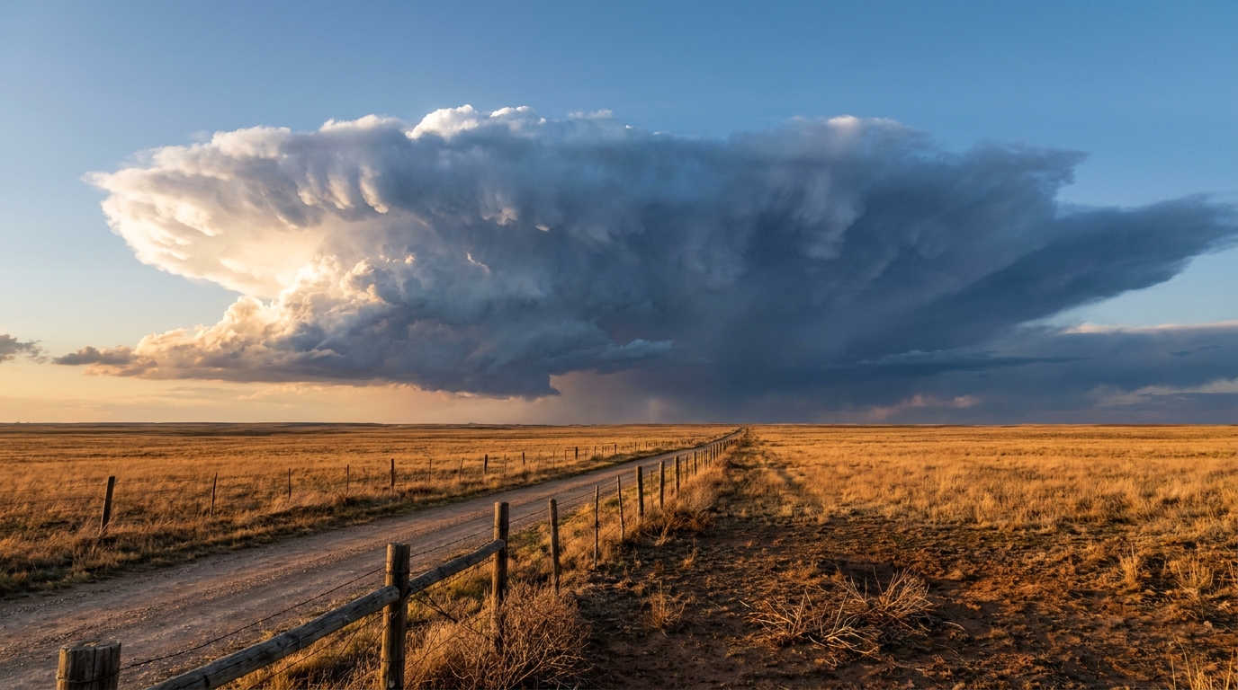
Alright y'all, yesterday was a busy one. We saw an 84 mph wind gust out near Lodgepole, Nebraska, and a confirmed tornado crossing Interstate 80. If you live in the Central Plains, I know you are probably tired of looking at the radar. But we have another setup taking shape for Monday that you need to know about.
The Plains Reload
The Storm Prediction Center has a Slight Risk, which is a level 2 out of 5, for severe thunderstorms on Monday across parts of the Central Plains. We are looking specifically at eastern Colorado and western Kansas. Places like Dodge City, Garden City, and Hays are right in the middle of this target area.
Normal highs for Denver this time of year are right around 71 degrees. We are going to see plenty of daytime heating tomorrow, and that warm air is going to act like high-octane fuel for these storms. Tomorrow afternoon, we expect discrete supercells to fire up along the Front Range. As those storms move east into Kansas, they are going to merge into what we call a Mesoscale Convective System, or an MCS.
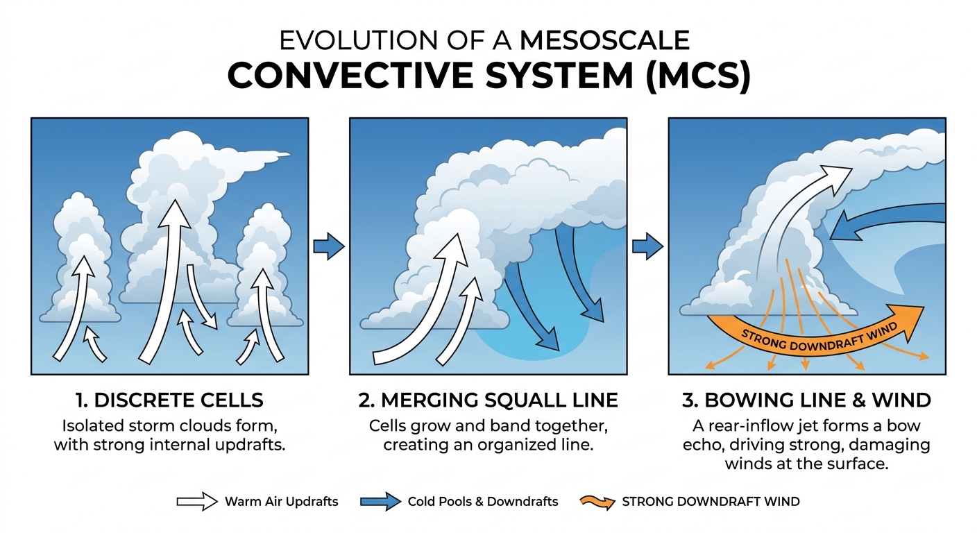
Think of an MCS as a giant, organized cluster of thunderstorms that acts like a snowplow, pushing a massive wall of wind ahead of it. The main threats here are going to be scattered damaging wind gusts over 60 mph and hail over an inch in diameter. There is a 2 percent risk for an isolated tornado, but the wind is the main story once those storms line up and get moving.
Southeast Flash Flood Threat
Down in the Southeast, we are dealing with a different kind of headache today. The Weather Prediction Center has a Slight Risk for excessive rainfall posted. We already saw some serious water issues yesterday, including three and a half feet of water inundating parts of Jackson, Tennessee.
The ground is absolutely saturated down there, and any new heavy rain is going to run right off into streets and creeks. If you are heading out to the Atlanta Braves game this evening or driving down I-75, be ready for some sudden downpours and ponding on the roads. Give yourself some extra time and take it slow.
A Quick Tropical Update
I also want to put a quick bug in your ear about the tropics. We are watching a broad area of low pressure well southwest of the Baja California peninsula in the East Pacific. The National Hurricane Center gives it an 80 percent chance of developing into a tropical depression by the middle of next week.
Here is the good news. It is forecast to move westward, out into the open ocean, so it is not a threat to the mainland United States. We will keep an eye on it, but you do not need to alter any of your plans.
Bottom Line
If you are in Kansas or eastern Colorado, use today's relatively quiet weather to secure your patio furniture and make sure your weather radio has fresh batteries before Monday afternoon. For folks in the Southeast, remember that it only takes a few inches of moving water to float a car. If you see water covering the road, turn around and find another route.
https://ryanhallyall.com/blog/round-two-for-the-central-plains-and-a-southeast-soaking