Blog Article
Severe Storms Hit Great Lakes Today, Plains Threat Friday
A Slight Risk of severe storms and flooding targets Chicago and Detroit today. Plus, an Enhanced Risk brings widespread severe weather to the Plains on Friday.
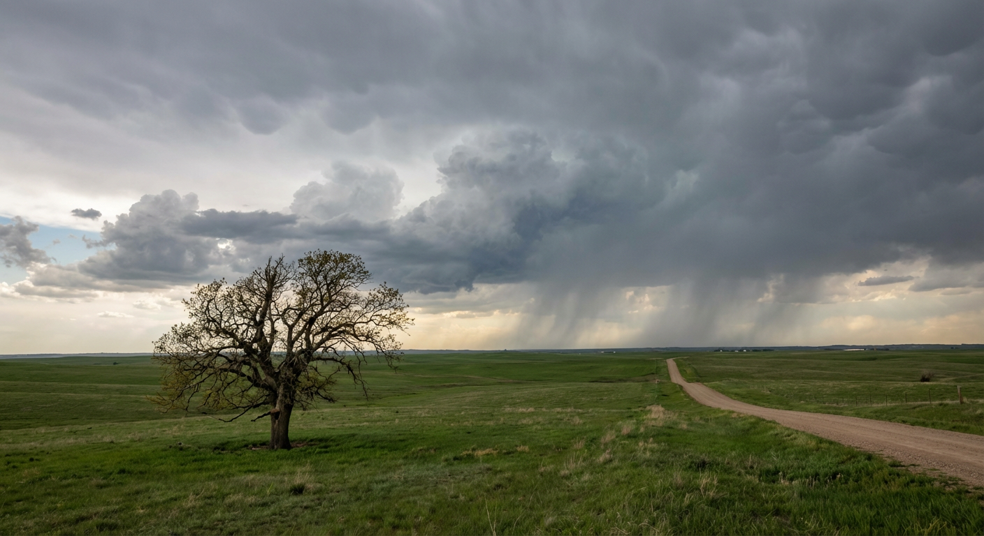
Round Two for the Great Lakes and a Looming Threat for the Plains
Y'all, yesterday was a long day. We watched destructive hail pound the Midwest and a dam nearly fail up in Wisconsin. That same storm system is still churning, and it is bringing round two to the Great Lakes and the Ohio Valley today.
If you have tickets to see the Royals play the Tigers in Detroit again tonight, or the Rays taking on the White Sox in Chicago, pack a poncho and keep your phone handy. Both of those cities are sitting right in a Level 2 out of 5 Slight Risk for severe storms.
Today's Setup: Water and Wind
The main frontal boundary is draped across the Midwest right now. We have a Slight Risk stretching from Oklahoma City all the way up through Indianapolis and into Michigan. The primary threats today are large hail and damaging wind gusts. The Storm Prediction Center also notes that a couple of tornadoes are possible.
But the bigger issue for the Great Lakes might be the water.
The Weather Prediction Center has a Slight Risk for excessive rainfall posted for the Great Lakes and northern Ohio Valley. The ground up there is already soaked from yesterday's storms. It will not take much extra water to cause flash flooding. Normally, Chicago and Detroit top out around 59 degrees this time of year. Instead, we have plenty of warmth and moisture feeding these storms and keeping the atmosphere highly unstable.
A Bitter Clash Out West
Out West, a completely different season is setting up for Thursday. A potent upper-level trough is digging into the Rockies. We have a Slight Risk for significant winter weather across Idaho and Montana tomorrow. Snow levels are going to drop fast, bringing heavy mountain accumulation to places like Bozeman and Idaho Falls.
Ahead of that system, bone-dry air and gusty winds are moving into New Mexico and the Texas Panhandle. That is going to create elevated fire weather conditions. A stray spark in that environment can travel for miles.
Friday's Enhanced Risk
Here is the thing. Friday is the day we really need to watch closely.
The Storm Prediction Center has already issued an Enhanced Risk for Friday. That is a Level 3 out of 5. It covers northern Oklahoma, eastern Kansas, Missouri, Iowa, and far northwest Illinois. This includes major metro areas like Kansas City, Des Moines, and Wichita.
A robust upper trough is going to eject out of the northern High Plains and clash directly with all that Gulf moisture we have been tracking. Widespread severe thunderstorms are expected. All severe hazards will be on the table, including tornadoes, large hail, and destructive winds.
The Bottom Line
If you live in the Great Lakes or the Ohio Valley, respect the road closures today. Turn around if you see water over the asphalt.
If you are in the Central or Southern Plains, use today and Thursday to review your severe weather plan. Know exactly where your safe room is located. Make sure your weather radio has fresh batteries, and have a way to get warnings that will actually wake you up if storms roll through after dark.
https://ryanhallyall.com/blog/round-two-for-the-great-lakes-and-a-looming-threat-for-the-plains