Blog Article
Texas Winter Outlook: Cooler, Wetter, Snowier Than Last Year
Ryan Hall Xtra explains how a record El Nino could bring Texas a cooler, wetter winter with more snow in the Panhandle and West Texas, plus this week's rain.
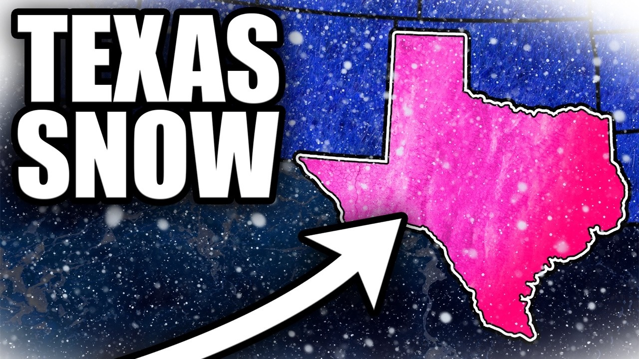
Ryan Says Texas Is Set Up for a Cooler, Wetter, Snowier Winter
In a new Ryan Hall Xtra video, Ryan lays out why he thinks Texas winter will look very different from the record warmth parts of the state saw last winter. A record-strength El Nino is the driver, and he expects it to bring more storms across the state. Winter is still weeks away, but the fall pattern has been warm and Texans are wondering what comes next.
What Ryan covered
- Last winter brought record warmth to several cities. Ryan points out that it was the warmest winter on record in Amarillo, El Paso and Midland, and that Amarillo saw less than 5 inches of snow all season.
- Texas gets the biggest snow jump on his map. He says much of the northern U.S. comes in below normal, but "from the panhandle down through West Texas, I've got 30% more snow on the board." He adds that no spot in Texas comes in below normal.
- Fall has run warm. Ryan notes that Brownsville just had its second warmest October since 1878, and Dallas-Fort Worth and Houston both landed in their top 10 warmest. He also says Amarillo's first freeze normally comes around October 24th, it still hasn't hit 32, and nothing in the forecast gets it there this week.
- El Nino is the reason. Ryan says it has posted the strongest weekly reading ever measured two weeks in a row. A strong El Nino moves the storm track south, so Pacific storms run across Texas instead of riding up north. In his words, "more storms is exactly what's been missing from winters of past."
- The outlooks and history agree. Ryan says the official winter outlook doesn't lean warmer than normal anywhere in Texas and leans wetter over most of the state. Six seasonal models start December near normal, then run Texas a little cooler by January and February, with about 20% more moisture than normal. In eight of the strongest El Nino winters on record, he says, West Texas ran colder than normal six or seven times.
Ryan's call: a winter that runs cooler and wetter than normal for most of Texas.
What this week looks like
None of that snow is close. Our winter storm outlook shows no significant winter weather across the lower 48 through Monday. The accumulating snow this coming week is focused in the mountains of the West.
Rain is the Texas story right now. A flash flood risk of Level 2 of 4 (Slight) is up for parts of South Texas on Sunday. Fairly dry soils may delay localized flash flooding, but sustained convection and higher rainfall rates could eventually create problems. A lower Level 1 of 4 risk remains for South Texas on Monday, with another 1 to 2 inches possible near the coast. If you're driving in South Texas Sunday or Monday, don't enter water covering the road. Track the latest on our flash flood outlook, and check our snow forecasts as the season gets going.
Watch the full video above to see Ryan's snow map and the seasonal model runs.
https://ryanhallyall.com/blog/ryan-says-texas-is-set-up-for-a-cooler-wetter-snowier-winter