Blog Article
Flood Risk Continues Florida to Mid-Atlantic, Aug 2 2026
Saturated ground meets more rain today as WPC flags a Slight excessive rainfall risk from Florida to the Northeast, plus a Marginal severe threat and solar storm watch.
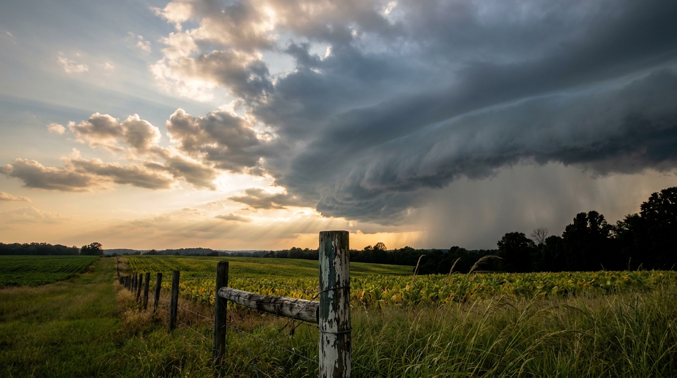
Same Ground, More Rain: The Flood Threat Rolls On from Florida to the Mid-Atlantic
Alright y'all, if you were in Columbia, South Carolina yesterday and watched Rocky Branch Creek jump its banks on Main Street, or you're in central Indiana still drying out from Otterbein's 5.68 inches, here's the thing you need to know this morning. The ground hasn't had time to recover, and more rain is on the way today.
WPC has a Slight Risk of excessive rainfall posted for the Florida Big Bend, coastal North Carolina, and a stretch running from the eastern Great Lakes into the Northeast and the northern/central Appalachians. That's the same general zone that took a beating over the last 48 hours, and soils there are about as saturated as they get in August.
The Setup: A Trough That Won't Leave
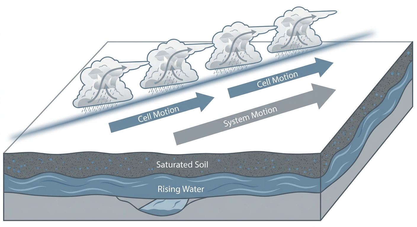
A highly amplified upper trough is digging into the East Coast today, tapping into a strong upper-level jet. That combination means widespread showers and thunderstorms from the Gulf Coast of Florida through the Mid-Atlantic and into the interior Northeast. When you get repeated rounds of storms training over the same soggy ground, that's when flash flooding gets dangerous fast, even without a single storm producing crazy rainfall totals on its own.
We saw a preview of this exact pattern yesterday. Columbia, SC measured 5.61 inches near McEntire and dealt with flash flooding downtown. Otterbein, Indiana got 5.68 inches. Shaw Air Force Base in South Carolina picked up 4.89 inches. None of that water is gone yet, and today's rain falls right on top of it.
Marginal Severe Risk Layered On Top
SPC has a Marginal Risk of severe thunderstorms for today across the lower Great Lakes and upper Ohio Valley into the middle and southern Atlantic Piedmont. That includes Charlotte, Washington DC, Baltimore, Pittsburgh, and Buffalo, covering more than 42 million people. This isn't a big outbreak kind of day. The tornado probability sits at just 2 percent and damaging wind sits at 5 percent, both Level 1 on SPC's scale. But scattered strong to severe storms are still likely this afternoon and evening, mainly from wind gusts.
If you've got tickets to the Phillies at the Orioles in Baltimore or the Nationals at the Braves in Atlanta this afternoon, keep half an eye on the sky. Storms firing up during first pitch wouldn't be shocking given this setup.
Charlotte's normal high this time of year runs 89, and DC sits around 87. The heat and humidity in place ahead of these storms are right in line with what August is supposed to feel like, they're just adding fuel for pop-up storms on top of ground that's already full of water.
Tomorrow's Story: Northern Plains Take Their Turn
Looking at Day 2, the severe weather focus shifts to eastern North Dakota, northwest Minnesota, and a sliver of northeast South Dakota, where SPC has posted a Slight Risk. MLCAPE in the 1000-2000 J/kg range combined with 40 to 50+ knot effective bulk shear and a 30 to 40 knot low-level jet will support organized storms, including supercells capable of large hail and damaging winds, both running a 15 percent probability. Fargo, Bemidji, and Alexandria, Minnesota are in that zone.
Meanwhile the excessive rainfall threat doesn't let up back east. Day 2 brings a Slight Risk to the Tri-State area of New York, New Jersey, and Connecticut, plus continuing concern for the Florida Big Bend and coastal Carolinas. Precipitable water values approaching 2.25 inches over already-vulnerable soils mean this flooding story has legs into midweek.
A Little Space Weather to Watch Tonight
Separate from all this, NOAA's Space Weather Prediction Center says a CME that left the sun on July 30 is arriving today, with G1 to G2 (Minor to Moderate) geomagnetic storm levels possible by midday. It's a low-confidence forecast, and for most of us it means nothing beyond a chance of aurora at higher latitudes overnight if skies cooperate. No widespread technology impacts are expected.

What We're Watching
- Flash flooding potential on saturated ground from the Florida Big Bend through coastal Carolinas and into the Northeast and Appalachians
- Marginal severe risk for the DC to Buffalo corridor this afternoon, mainly damaging wind gusts
- Continued rainfall totals building on top of yesterday's 4 to 5+ inch amounts in the Southeast and Midwest
- Slight Risk of severe storms shifting to eastern North Dakota and northwest Minnesota Monday, with supercell potential
- G1 to G2 geomagnetic storm possible today into tonight from the July 30 CME, aurora chances at higher latitudes
- Elevated to locally critical fire weather continuing across the northern Great Basin and High Plains through midweek
Bottom Line
If you live anywhere from the Florida panhandle up through the Carolinas into the Mid-Atlantic and Northeast, don't let today's rain catch you off guard just because Sunday's headlines were about yesterday's storms. The same saturated ground is sitting there waiting for more water, and it won't take much to cause new flooding in low-lying spots and near creeks that were already running high. If you're headed to a ballgame in Baltimore, DC, or Cleveland this afternoon, have a plan for a weather delay. And if you're a night sky watcher up north, keep a phone alarm set in case that CME kicks up some aurora overnight.