Blog Article
Flooding and Severe Storms Hit Plains to Mid-Atlantic Today
A stalled front keeps flash flooding and severe storms in play from the central Plains to the Mid-Atlantic today, with damaging wind and heavy rain the main threats.
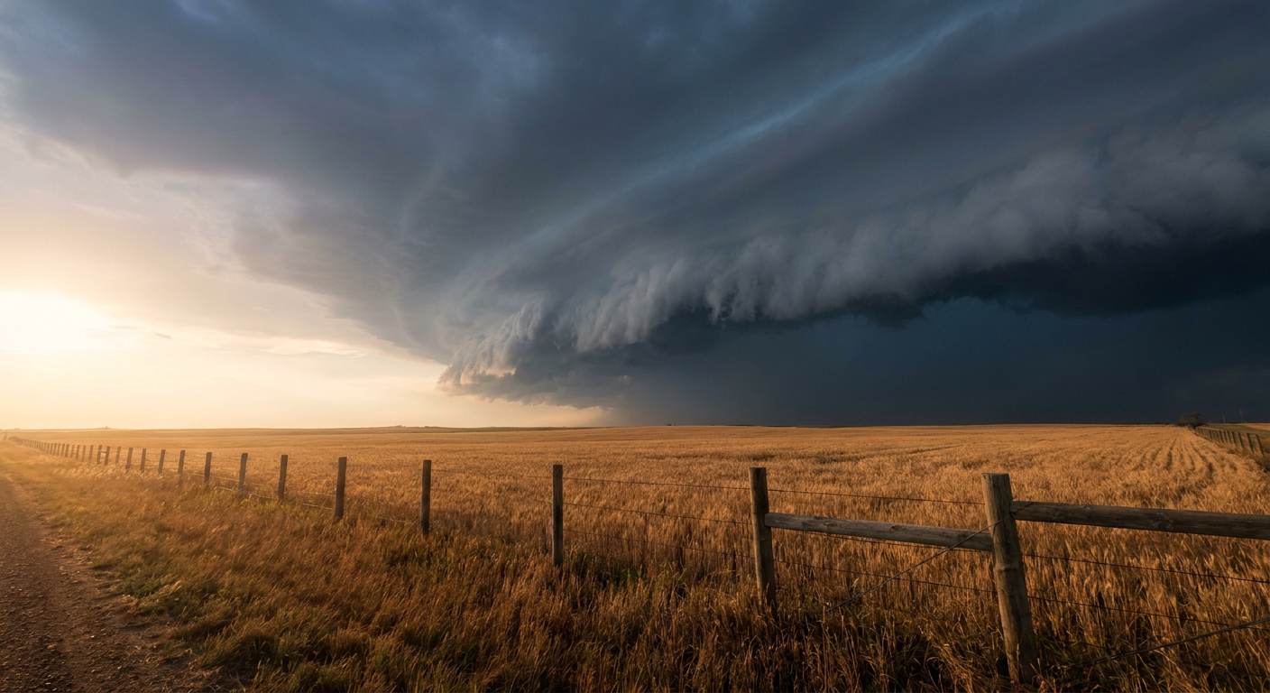
Same Wet Pattern, New Day: Flooding and Severe Storms Take Aim from the Plains to the Mid-Atlantic
Alright y'all, we need to talk about water again. I know, I know. Feels like that's all July has been so far. But the setup today is worth your attention, because the same soggy pattern that put Austin, Minnesota under 7 inches of rain yesterday and closed Interstate 90 is still very much in business.
Here's where we are. The Weather Prediction Center has a Slight Risk of excessive rainfall posted across parts of the central Plains up through the Upper Great Lakes for today. That's the highest flood story on the board, so that's where we start.
Why This Keeps Happening
The short version: boundaries just won't move.
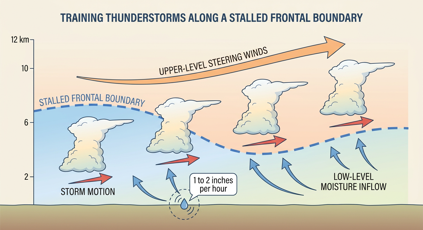
When a front stalls out and stops sliding along, thunderstorms keep firing over the same real estate hour after hour. Meteorologists call it training, like railcars running over the same stretch of track. One storm dumps its rain, the next one lines up right behind it, and before you know it a county has picked up 3, 4, even 7 inches in an afternoon. That's exactly the script that's played out over Minnesota, Iowa, Kentucky, and the Mid-Atlantic all week.
The air overhead is loaded, too. Precipitable water values, which is just the amount of moisture the atmosphere could wring out, are running over 2 inches in spots. That's near the ceiling for what this atmosphere can hold, and it means rainfall rates of 1 to 2 inches an hour when storms get cranking.
The Severe Side of the Coin
Same system, different hazard. The Storm Prediction Center has a Slight Risk (Level 2 of 5) of severe thunderstorms today. It stretches across parts of the central and northern Plains and from the Ozarks into the lower Ohio Valley. Cities named inside it include Philadelphia, Washington DC, Baltimore, Wichita, and Columbia, Missouri.
The main threat is damaging wind. SPC has a 15% area, the "scattered damaging wind" tier, covering more than 20 million people, with gusts of 60 mph or better possible if storms organize. Hail is on the menu too, and there's a small hatched zone where stones could reach 2 inches, right around hen-egg size. The tornado threat is low, a 2% risk, meaning an isolated spin-up isn't impossible but it's not the headline.
Think back to yesterday. The High Plains delivered on this exact kind of threat, with a 78 mph gust measured at La Junta, Colorado and a 76 mph gust near Masters. Denver and the Front Range are in the Marginal Risk today, so that corner of Colorado stays worth watching for storms rolling off the mountains.
Who's In the Path Today
- Central and northern Plains (Wichita, Omaha area): organizing storm clusters this afternoon and evening, damaging wind the top concern with 2500 to 3500 J/kg of instability to work with
- Ozarks into the lower Ohio Valley (Columbia, Louisville): wind gusts with storm clusters riding the boundary
- Mid-Atlantic (Philadelphia, Baltimore, DC): the double whammy, severe wind AND flash flood potential in the same densely packed I-95 corridor
- Front Range Colorado (Denver): Marginal Risk, hail and wind off the mountains
That Mid-Atlantic overlap is the one I'd circle. When you get severe storms and a flash flood risk stacked over the same ground, the storms that produce the wind damage are often the same ones dumping the heavy rain. Low flash flood guidance in the urban corridor means it doesn't take much to send water over the roads, and we saw that firsthand in Philadelphia earlier this week.
Baseball and the Weather
There's a full slate of MLB games today in the storm zone. The Cubs are at Baltimore, the Phillies are at Cincinnati, the Brewers are at St. Louis, and the Braves are at Pittsburgh. Afternoon and evening storm timing means a rain delay is a real possibility for any of these. If you've got tickets, keep an eye on the radar before you leave the house.
And for Kansas City folks, the local forecast lines right up with what we're seeing: storm chances return today with rising humidity. That's this same pattern reaching into the KC metro.
A Quick Word on the Sun
Space weather nerds, this one's for you. The Space Weather Prediction Center says geomagnetic conditions could reach unsettled to active levels today through July 11 as a high-speed stream of solar wind arrives. There's a slight chance of an isolated G1 (Minor) geomagnetic storm. That's not a big deal for the power grid or your phone, but if you're way up north, it's an outside shot at some aurora. Nothing to lose sleep over.
The Days Ahead
This pattern doesn't break cleanly. WPC keeps a Slight Risk of excessive rainfall on the board Friday across the middle Mississippi and Ohio Valleys and the Mid-Atlantic, and again Saturday over the Ohio and Tennessee Valleys and central Appalachians. SPC has Marginal severe risks both days across the southern Rockies, central Plains, and into the Tennessee Valley. In plain terms: more of the same, just shuffling around a bit.
Further out, a big upper-level ridge builds over the northern High Plains early next week. That will bring quieter, hotter weather to that part of the country and could finally start nudging this stuck pattern.
Bottom Line
If you're in the central Plains, the Ohio Valley, or the Mid-Atlantic today, plan around afternoon and evening storms. The two things to respect: damaging wind gusts that can drop trees and cut power, and heavy rain that can flood a low-lying road in minutes. Know the difference between a flood watch and a flood warning, and if you come to water over a road, turn around. Don't drive through it. That single decision is the one that saves lives in a week like this one.
Got outdoor plans or a ballgame on the calendar? Check the radar before you head out, and have a backup for when the sky starts grumbling.