Blog Article
Santa Ana Winds Meet NLCS: LA's Fire Weather Watch
As the Dodgers host the Brewers in NLCS Game 1, a Critical fire weather risk builds over LA County and Ventura. Here's the Santa Ana science behind it.
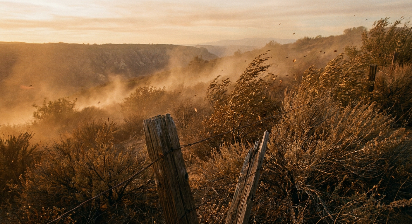
Santa Ana Winds Crash the NLCS: What Fire Weather Means for Dodgers Fans This Week
Alright folks, tonight the Dodgers host the Brewers in NLCS Game 1, and LA is buzzing. But here's the thing. While everybody's watching the scoreboard, the Storm Prediction Center is watching the hills above the city, and what they see for Thursday isn't pretty.
The Setup: A Baja Low and a Building Ridge
SPC has already posted a Critical fire weather area for western LA County and southeastern Ventura County on Day 2, which is Thursday. That's Oxnard, Santa Clarita, Thousand Oaks, Simi Valley, and Camarillo, covering about 2,100 square miles and over 2.3 million people.
Here's why it's firing up. A strong surface high is pushing into the Intermountain West right as a mid-level cutoff low starts to spin up off the Baja Peninsula. Squeeze those two features together and you get a tightening pressure gradient that drives air offshore, down out of the mountains and canyons, straight toward the coast. That's your classic Santa Ana setup. The air compresses and warms as it descends, humidity craters, and any spark has a short fuse and a strong tailwind.
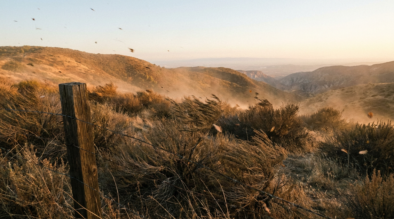
The timing lines up with a broader pattern shift. That same upper-level energy helped keep the Southern Plains in a convective mess this week, and now the backside of it is helping dry out and accelerate flow over SoCal. Weather doesn't care about your bracket or your rotation. It just moves air where the pressure tells it to.
What This Means If You're Headed to Chavez Ravine
Down at field level, the ballpark itself isn't in the critical zone. Game conditions should stay playable. But if you're driving in from Simi Valley, Thousand Oaks, or anywhere up against those foothills, you're driving through gusty, bone-dry wind, and if a fire does start anywhere in that zone, smoke can drift for miles. Keep an eye on local air quality alerts, not just first pitch time.
It's a good reminder that October baseball in LA has always had this split personality. The city down in the basin can feel mild and pleasant, close to that 78-degree average high for the month, while twenty minutes up the canyon the air is doing something completely different. Same afternoon, two different atmospheres.
Meanwhile, Out in the Water
This isn't the only thing happening off the California coast this week. Out in the Eastern Pacific, Hurricane Simon has been doing the opposite of what you'd expect, weakening fast after Hurricane Hunter aircraft found it had lost its hurricane-force winds. It's forecast to stay offshore of Baja California Sur, bringing just a low chance of tropical storm force wind to Cabo San Lucas and San Jose del Cabo by Friday.
Right behind it, Tropical Storm Trudy is the one to watch if you've got anybody traveling toward the Mexican Riviera. Trudy is forecast to approach hurricane strength, and NHC's peak intensity guidance has it reaching Category 4 strength near the coast between Manzanillo and Zihuatanejo by Saturday. That's a real concern for folks in Lazaro Cardenas, Manzanillo, and Zihuatanejo, with a 40 to 60 percent chance of tropical storm force wind and up to a 20 percent chance of hurricane force wind in that stretch. If you know someone with fall break plans on that coast, now's the time for them to check in with their resort.
And Don't Forget West Texas
While LA dries out, the opposite problem continues in Texas. After last night's severe outbreak put an 88 mph wind gust on the books near Goodlett and 2.75 inch hail near Matador, the threat has shifted toward flooding. WPC has a Moderate risk of excessive rainfall today across Oklahoma into the Red River Valley, and that Moderate risk slides into the Permian Basin, Stockton Plateau, and Big Bend region on Thursday. Totals of 2 to 4 inches are possible, with isolated spots hitting 6 to 7 inches where storms train over the same ground. Midland, Odessa, and San Angelo are the names to watch.
It's the same country, same week, two totally different water problems. Texas needs the rain to stop falling so fast. Southern California needs the air to stop drying out so fast.
The Takeaway
Whatever's on your screen tonight, whether it's the Dodgers-Brewers score or the radar over the Permian Basin, the atmosphere is running two very different scripts in two parts of the country. If you're in Ventura or western LA County, treat Thursday like a Red Flag day even if nobody's called one yet. Charge your phone, know your evacuation routes, and watch for official alerts. Baseball can wait fifteen minutes for a weather check. Your house can't.