Blog Article
Severe Storms Target Kansas City MLB and Philly World Cup
A powerful storm system brings 75 mph wind threats to Kansas City tonight before taking aim at Philadelphia's outdoor World Cup Fan Fest on Sunday.
Severe Storms Are Crashing the Biggest Sports Weekend of the Summer
Alright folks. We need to talk about your weekend plans.
Sports fans are having a massive weekend right now. The World Cup is in full swing, and we have a packed Major League Baseball slate. But the exact same storm system that has been dropping historic wind gusts across the Plains all week is about to crash the party.
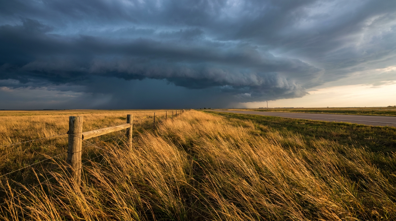
Get this, y'all. The Astros are in Kansas City playing the Royals tonight. Kauffman Stadium is wide open to the elements, and the Storm Prediction Center has an Enhanced Risk for severe weather parked directly over western Missouri and eastern Kansas.
We are looking at a 45 percent probability of damaging winds in the Kansas City and Tulsa areas. There is also a hatched area for winds, which means if a storm gets going, we could see gusts over 75 mph. We are also watching a threat for hen-egg-sized hail. If you are tailgating or heading to the game, you need a radar app open on your phone.
The Threat Shifts East for Sunday
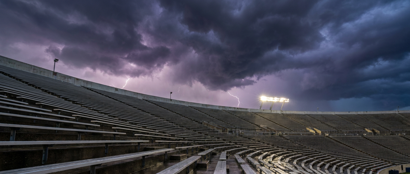
Tomorrow, this whole system shifts east. Philadelphia is hosting a massive outdoor FIFA Fan Festival for the World Cup. Thousands of people will be outside watching the matches on big screens.
By Sunday afternoon, a cold front will sweep into the Mid-Atlantic. The SPC has a Slight Risk out for the I-95 corridor from DC up through Philly and into New York. The main hazard tomorrow is wind. There is a solid 30 percent chance of severe gusts in Philadelphia and Baltimore.
Normal highs for Philly in June are right around 83 degrees. Tomorrow, things are going to be hot and sticky ahead of this front, providing plenty of fuel for these storms to tap into.
A Week of Extreme Wind
Here is the thing. We cannot take this setup lightly. This is the exact same storm system that dropped a 96 mph wind gust in the Oklahoma Panhandle yesterday. Earlier this week, Salina, Kansas, recorded a 113 mph gust.
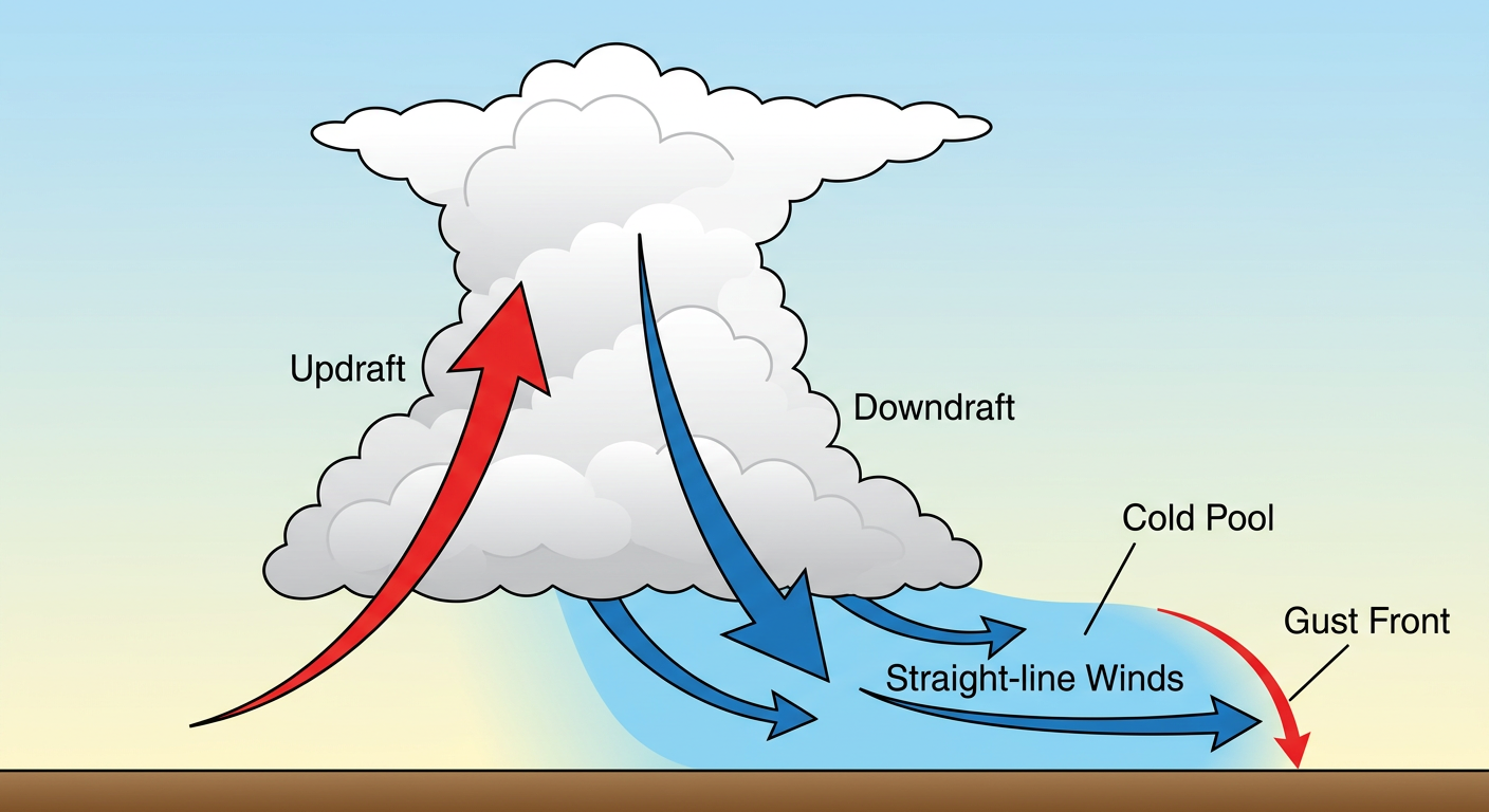
The atmosphere is incredibly volatile right now. A broad trough of low pressure is digging into the eastern half of the country. When that cold Canadian air clashes with the summer heat, the result is explosive thunderstorm growth. These storms organize into lines, and they push a wall of cold air down to the surface that spreads out like a bulldozer.
If you are heading to a stadium, a music festival, or an outdoor watch party this weekend, figure out where your hard shelter is before the first drop of rain falls. A pop-up tent is not a shelter when 75 mph winds come through.
https://ryanhallyall.com/blog/severe-storms-are-crashing-the-biggest-sports-weekend-of-the-summer