Blog Article
Severe Storms Move East Today, Tropics Stay Offshore
SPC Slight Risk covers the High Plains to Midwest today, then shifts to the Northeast Thursday. Damaging wind is the main threat as tropics stay quiet.
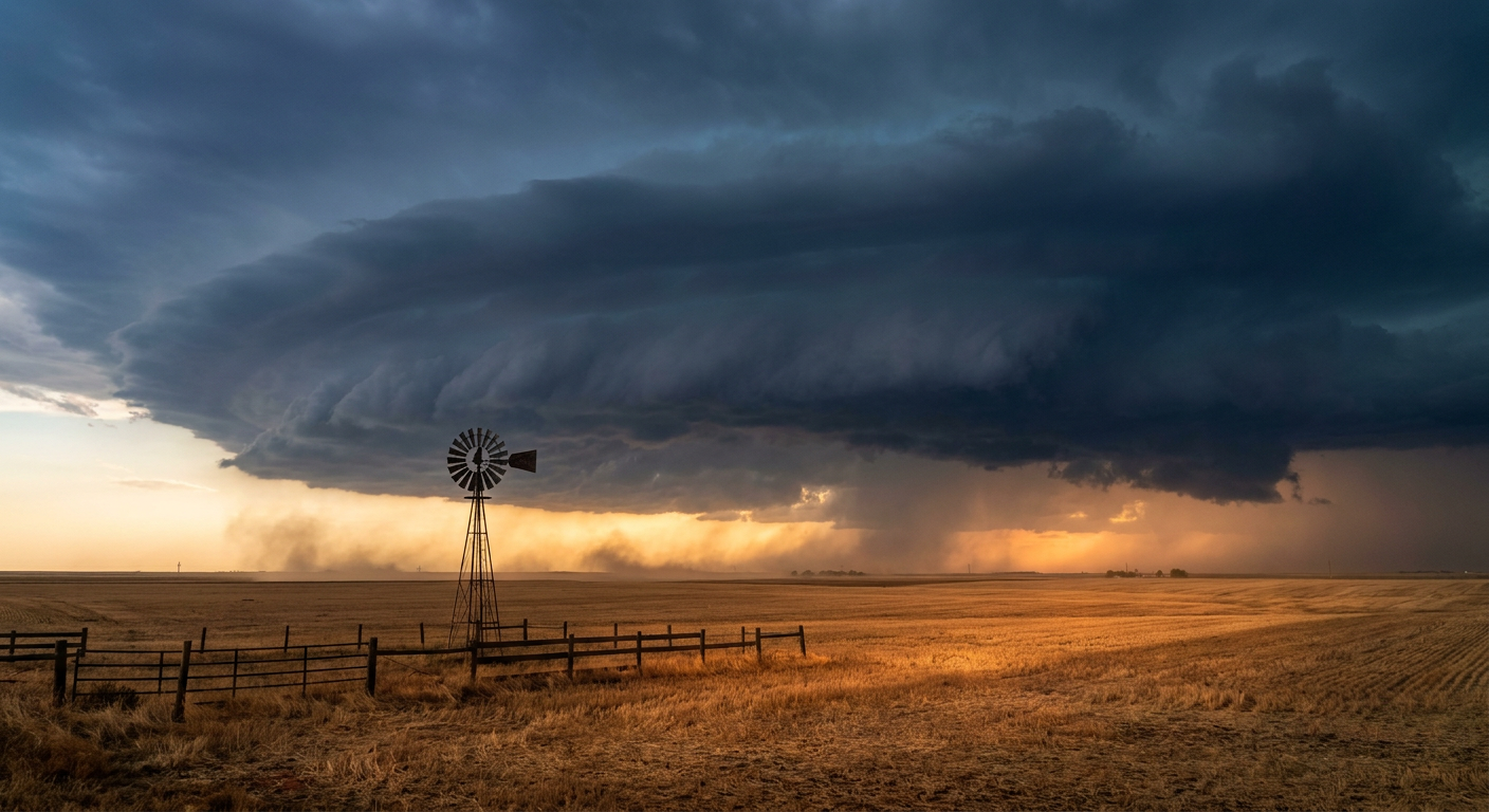
Severe Storms Shift East Today, Tropics Stay Offshore For Now
Alright y'all, let's start with the tropics real quick because that's technically where the biggest headlines could come from, even if today's actual impact is pretty small. We've got two named storms out there right now. Tropical Storm Iselle is sitting about 870 miles west of the southern tip of Baja California with 50 mph winds, fighting off some northerly wind shear and dry air. She's drifting west-northwest and NHC has no coastal watches or warnings up. Tropical Storm Lala is way out in the Central Pacific, north of Kure Atoll, and she's actually weakening, down to 45 mph winds as drier air works into the circulation. Neither one is a threat to land right now.
What I am watching more closely is Invest 96AL, an area of low pressure a few hundred miles south-southwest of the Cabo Verde Islands that NHC thinks is likely to become a tropical depression in the next couple days. There's also a disturbance well out in the Central/Eastern Pacific carrying a 90% chance of development over the next week. Both are too far out to talk specifics on US impact, but late August into September is peak season, so these are the kind of systems we start tracking early. Nothing actionable yet. Just keeping an eye on it.
Today's Real Story: Severe Weather Corridor From the High Plains to the Midwest
Here's the thing that actually matters for a lot of you today. SPC has a Slight Risk of severe thunderstorms up for parts of the central High Plains, the Ozarks and Mid-South, and the Midwest into the Ohio Valley. That includes Denver and Colorado Springs, Indianapolis, Detroit, and Memphis directly in that Slight Risk zone, with a much broader Marginal Risk stretching from Chicago down through Tulsa, Amarillo, Lubbock, and Baton Rouge.
The setup is a familiar one for late August. Daytime heating combines with decent low-level moisture to build instability, and there's enough shear riding along a front to organize storms into clusters rather than just pop-up single cells. Damaging wind gusts are the headline threat here, SPC has that at a 15% probability (their Level 2, "scattered damaging wind" category) across a good chunk of the risk area, with a hatched zone where gusts could reach 75 mph or better. Large hail up to 2 inches is possible in that same hatched pocket, and there's a low-end tornado threat too, mainly in the 2-5% range, so isolated spin-ups can't be ruled out if storms organize along the boundary.
This isn't coming out of nowhere. Yesterday's mesoscale convective system tore across the Texas and Oklahoma Panhandles and produced an 84 mph gust at Clayton, New Mexico, an 80 mph gust near Dumas, Texas, and 3-inch hail in Gould, Oklahoma. That same overall pattern, hot ground, a front to focus on, plenty of instability, is still in play today, it's just aimed at a different stretch of real estate.
Thursday: The Threat Slides Into the Northeast and Mid-Atlantic
By Thursday, SPC has that Slight Risk moving into northeastern Pennsylvania and central/northern New York, covering Scranton, Binghamton, Utica, and Williamsport. A broader Marginal Risk fans out across the upper Ohio Valley, West Virginia, Virginia, and down into the big Mid-Atlantic metros, New York City, Philadelphia, Baltimore, and DC. An embedded shortwave trough rotating around a bigger system over the Great Lakes is the driver, and again it's damaging wind and hail that lead the threat list, with an isolated tornado not out of the question and that same 75 mph hatched gust zone showing up again in the most favorable corridor.
If you've got Thursday night NFL preseason plans, this is worth a glance. Washington at Baltimore kicks off Thursday evening right in that Marginal Risk zone, and Pittsburgh at Buffalo up in Orchard Park sits close enough to the northern edge of the pattern that I'd keep half an eye on the sky.
Rain Piling On Top of Wind
WPC has a Slight Risk of excessive rainfall up today for parts of the Lower Mississippi Valley as a cold front pushes into Arkansas and stalls out overnight, with a shortwave riding along its eastern side keeping training storms possible. That Slight Risk shifts and expands into the Northeast on Thursday as an upper trough drags eastward and pulls Gulf Stream moisture onshore over southern New Jersey and southeast Pennsylvania. By Friday, the flooding focus moves again, this time to the coastal Carolinas, where a stalled boundary is expected to fuel repeated rounds of thunderstorms.
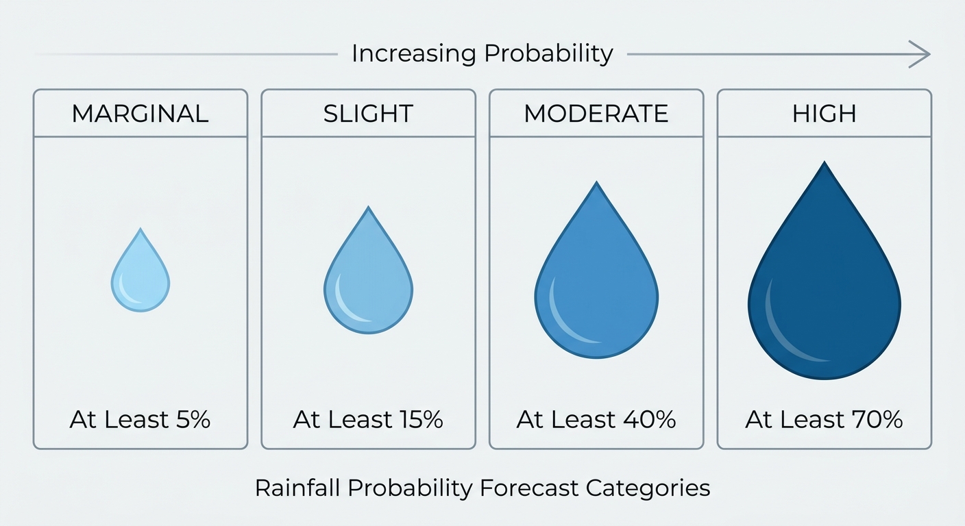
This fits the pattern we've seen most of August. We've had Flash Flood Emergencies pop up from North Carolina to Indiana to Kentucky this month, and soils in a lot of these corridors are primed to run off fast when a few inches fall in a short window. Amarillo just dealt with flooded underpasses and vehicle rescues two nights ago. Don't assume a Slight Risk means minor. It just means the setup, not necessarily the outcome, is less widespread than a Moderate or High day.
Where the Weather Is Actually Nice Today
Not everything is stormy. If you're heading to the Great New York State Fair in Syracuse today, or you've got outdoor plans up in northern New England or coastal Massachusetts, that's the sweet spot on the map. Light winds, dry air, and mostly sunny skies under a building high pressure system. It won't be a flawless "perfect" day by our tightest standards, but it's about as good as August gets. Thursday, that good-weather corridor slides into eastern Nebraska, Iowa, and southern Wisconsin, which is decent news for the Minnesota State Fair crowd heading to Falcon Heights as it opens.
Space Weather and Fire Weather, Briefly
SWPC is watching Regions 4513 and 4517 on the sun, which produced a handful of M-class flares including an M6.9 yesterday. Solar activity is expected to stay in the Minor to Moderate range through Friday with a small chance of a Strong flare. The geomagnetic field itself should stay quiet through midday Thursday, then a coronal hole high-speed stream arrives and could push things to unsettled or G1 (Minor storm) levels by Thursday night. Nothing here threatens power grids or GPS in a meaningful way, but if you're way up north, it's worth a glance skyward Thursday night.
On the fire side, SPC has a Critical Fire Weather Area up for northeastern California into the northwestern Great Basin today and again Thursday, as an upper trough drives dry, breezy conditions and isolated dry thunderstorms across that region. Low population density there, but red flag conditions are red flag conditions if you're in that corridor.
What I'm Watching
- Damaging wind gusts (60-75+ mph in spots) across the central High Plains through the Ozarks and Midwest today
- That same threat sliding into northeastern Pennsylvania, central/northern New York, and the Mid-Atlantic on Thursday
- Slight Risk excessive rainfall moving from the Lower Mississippi Valley today to the Northeast Thursday to the coastal Carolinas Friday, on ground that's already had a rough month for flash flooding
- Invest 96AL in the eastern Atlantic, likely to become a tropical depression in the next couple days
- A high-end development area in the Central/Eastern Pacific, worth another look by the weekend
Bottom Line
If you're anywhere from Denver to Indianapolis to Memphis today, have a way to get severe weather alerts this afternoon and evening, damaging wind gusts are the main concern and this pattern has already produced 80+ mph gusts once this week. Thursday, that same setup moves into the I-81 corridor of Pennsylvania and New York, then spreads Marginal Risk into the big Mid-Atlantic cities including DC, Baltimore, and Philadelphia. Layer on a Slight Risk of excessive rainfall moving through the same general regions, and this is a multi-day, moving-target kind of pattern rather than a one-and-done event. The tropics are quiet for US purposes right now, but keep half an eye on that Atlantic invest as we roll into the first week of September.
https://ryanhallyall.com/blog/severe-storms-shift-east-today-tropics-stay-offshore-for-now