Blog Article
Severe Weather Forecast: Midwest Storms & Texas Rain
Tracking a Slight Risk for severe thunderstorms in the Upper Midwest on Monday, plus ongoing heavy rain and hail threats across Central Texas today.
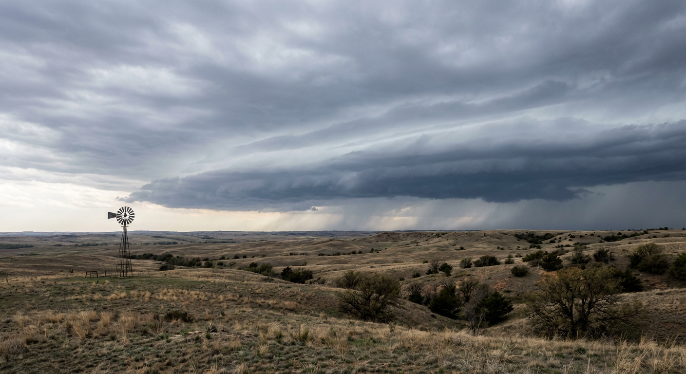
Severe Storms Shift North: Tracking Monday's Upper Midwest Threat
Good morning, y'all. If you read yesterday's update, you know we were keeping a close eye on that dryline setup in Texas. That boundary is still kicking up dust and storms today. But as we look ahead to Monday, the main event is shifting north into places that are usually still shivering this time of year.
We have a highly dynamic system moving across the country. It is bringing a little bit of everything to the table. We are talking severe thunderstorms, critical fire weather, and even late-season mountain snow.
Monday's Upper Midwest Setup
By Monday afternoon, a surface low is going to track along the Minnesota and Iowa border. It is dragging a warm front right up through southern Minnesota and central Wisconsin. Now, a normal April day in Minneapolis gives you a high around 57 degrees. Tomorrow is not going to be normal. We are going to see a surge of warm, moist air pull right up into the Upper Mississippi Valley.
The Storm Prediction Center has a Slight Risk out for a chunk of the Upper Midwest, including Minneapolis, St. Paul, and Milwaukee. The wind shear and instability are getting organized right along that warm front. That means we are looking at a 5 percent tornado probability for this area, along with a solid 15 percent chance for large hail and damaging winds.
If you live in these areas, you need to treat Monday afternoon and evening seriously. Warm fronts are notorious for helping storms spin up quickly.
Today in Texas: Round Two
Before we get to Monday, we have to get through today. Central and Southern Texas are sitting in a Slight Risk for severe storms. If you are in Dallas, Austin, or San Antonio, keep your guard up this afternoon and evening. The main threats here are large hail and damaging wind gusts.
We also have a Slight Risk for excessive rainfall in Central Texas today. The Weather Prediction Center is looking at a setup where storms could train over the same areas. The ground is going to get saturated fast. If you encounter a flooded road along the I-35 corridor today, turn around. It is never worth the risk.
Fire and Ice Out West
While the eastern half of the country deals with severe storms, the West is telling a completely different story. We have a deep upper low bringing heavy snow to the Sierra Nevada today. We are talking 1 to 2 feet of snow for the higher elevations. That moisture will push into the Rockies by mid-week, bringing travel impacts to the mountain passes in Colorado and Utah.
Down in the Central High Plains and the Southwest, the air is bone dry. Strong southwesterly winds pushing 20 to 30 mph are creating critical fire weather conditions today and tomorrow. If you are in eastern Utah, western Colorado, or western Kansas, avoid any outdoor burning. A spark will travel fast in these conditions.
The Bottom Line
- Upper Midwest: Have multiple ways to receive warnings on Monday. Make sure your weather radio has fresh batteries and your phone notifications are turned on.
- Texas: Watch out for localized flash flooding today. If you are heading out to any outdoor events this evening, know where your safe shelter is located.
- High Plains & Southwest: Extreme fire danger is in place. Secure trailer chains and avoid parking vehicles on dry grass.
Take care of yourselves and check on your neighbors.
https://ryanhallyall.com/blog/severe-storms-shift-north-tracking-mondays-upper-midwest-threat