Blog Article
Severe Weather Forecast: Kansas to Minnesota Storms & Fire Risk
A new storm system brings a Slight Risk of severe weather to the Plains on Thursday, critical fire danger to Texas and Florida, and heavy snow to the Rockies.
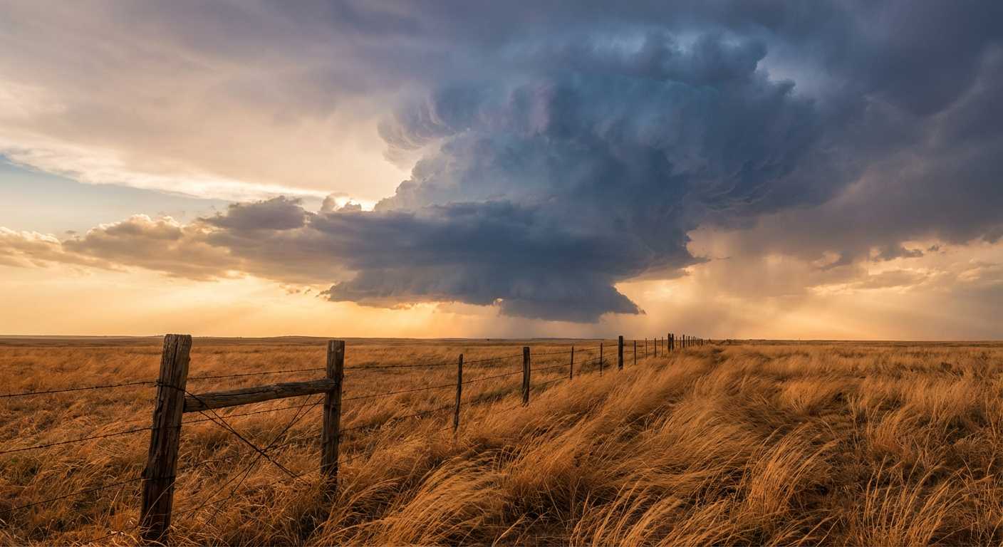
Severe Weather Returns to the Plains While the Rockies See Snow
Alright folks, this week is already throwing the kitchen sink at us. Yesterday we watched a rare EF1 tornado drop down in the California Central Valley, right alongside a massive late-season freeze across the Eastern US. Now we are shifting our eyes back to the middle of the country, where a much more traditional spring setup is taking shape.
We have a deep upper-level trough ejecting into the central United States on Thursday. This is going to pull a whole lot of Gulf moisture north, setting the stage for severe thunderstorms, critical fire danger, and even a significant winter storm depending on which side of the system you are sitting on.
Thursday's Severe Threat
The Storm Prediction Center has highlighted a Slight Risk (Level 2 out of 5) for severe thunderstorms on Thursday, stretching from southern Kansas all the way up into southern Minnesota. If you live in Kansas City, Omaha, Wichita, or the Twin Cities, this is your heads up.
Here is the thing. We have a cold front advancing from the west, and it is going to crash into a juicy warm sector. Dewpoints are going to climb into the 60s ahead of this boundary. For late April, the normal high in Kansas City is around 66 degrees, but this warm air advection is going to push temperatures well above that mark and create a highly unstable environment.
The primary threats with these storms will be large to very large hail and damaging wind gusts. The SPC also notes that a few tornadoes are possible, especially where the low-level winds back and create enough shear. If you are heading out to the Orioles at Royals game in KC tonight, the weather looks quiet, but you will want to have your weather radio ready for the commute home tomorrow.
Critical Fire Danger
While the severe storms fire up on the moist side of this system, the dry side is going to be an absolute tinderbox.
On Thursday, the SPC has outlined a Critical Fire Weather area for the Southern Plains. A 70-knot mid-level jet is going to mix down to the surface across eastern New Mexico, the Texas Panhandle, and western Oklahoma. When you combine those strong southwest winds with humidity dropping below 10 percent and parched vegetation, you get a highly volatile fire environment. Any spark out there will spread rapidly.
We are also watching a separate Critical Fire Weather area today for central Florida and the west Florida coast, including the Tampa and St. Petersburg areas. The airmass aloft is incredibly dry, and surface heating is causing relative humidity values to plummet this afternoon.
Winter Holds On in the Rockies
Just to remind us that the atmosphere does not care what the calendar says, a strong Pacific cold front is sweeping across the Intermountain West.
The Northern Rockies are looking at a significant winter weather event through Thursday. We are expecting widespread accumulations of 6 to 12 inches of snow across the higher elevations of Idaho, Montana, and Wyoming. The highest peaks could easily see up to 20 inches. If your travel plans take you through the regional mountain passes over the next 48 hours, you need to prepare for hazardous, winter-like driving conditions.
Bottom Line
Make sure your severe weather alerts are turned on and loud enough to wake you up tonight and tomorrow night, especially from Kansas up through Minnesota. If you live in the Southern Plains or western Florida, hold off on any outdoor burning and secure your trailer chains to avoid sparking a wildfire. For folks out West, check the road conditions before you try to cross those mountain passes.
https://ryanhallyall.com/blog/severe-weather-returns-to-the-plains-while-the-rockies-see-snow