Blog Article
Ohio & Tennessee Valley Storms Today, Flood Risk Widens
SPC's Slight Risk brings damaging wind to Cincinnati, Nashville and Huntsville today, while WPC flags a widespread flash flood threat and Sunday's storms shift toward Atlanta and DC.
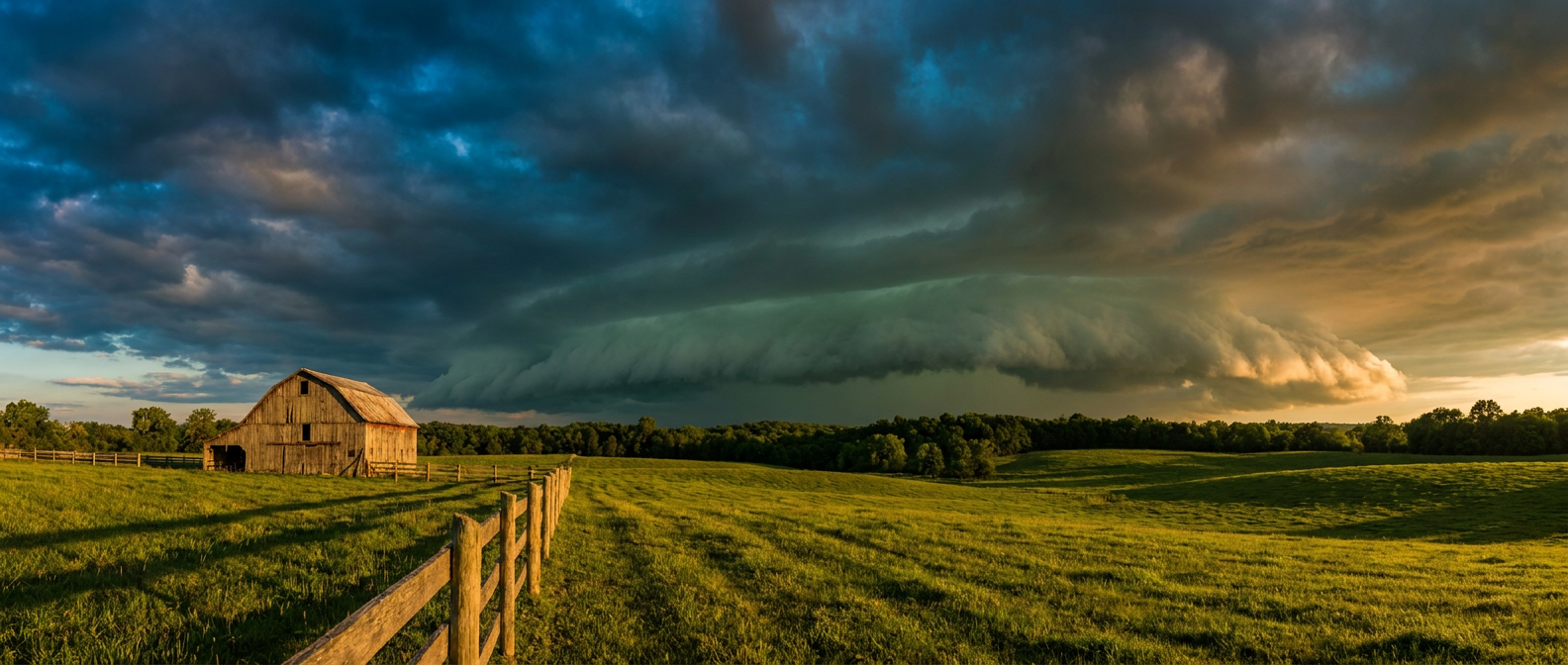
Slight Risk Storms Roll Through the Ohio and Tennessee Valleys, With a Flash Flood Threat Riding Shotgun
Alright y'all, we're still riding the tail end of a stretch that's kept us busy all week. That Plains MCS we talked about yesterday put down 77 mph gusts near Hereford, Texas, and knocked trees into power lines all across the St. Joseph, Missouri area. Today the action slides east into the Ohio and Tennessee Valleys, and it's bringing a flooding sidecar with it.
Today's Main Event: Wind and an Isolated Tornado Threat
SPC has a Slight Risk up for parts of the Ohio and Tennessee Valleys today. That covers Lexington, Cincinnati, Dayton, Huntsville and Chattanooga directly, with a Marginal Risk fanning out around them to catch Columbus, Indianapolis, Nashville, Louisville and Fort Wayne. Here's the setup: a positively tilted mid-level trough is sliding southeast, and it's dragging a cold front through an atmosphere that's still plenty unstable from the heat and humidity sitting over the region.
The main hazard is damaging wind gusts, with SPC putting a 15% probability (their Level 2 category) over the core of the risk area. That's a "scattered damaging wind" call, not a widespread derecho setup, but 60+ mph gusts are on the table if a cluster of storms organizes. Tornado probabilities are low, sitting at 2%, which SPC labels an isolated tornado threat. Don't ignore it, just don't lose sleep over it either.
If you've got a Reds game tonight in Cincinnati (first pitch at 6:40 PM ET against the Pirates), keep half an eye on the sky during the middle innings. That ballpark sits right inside today's Slight Risk zone.
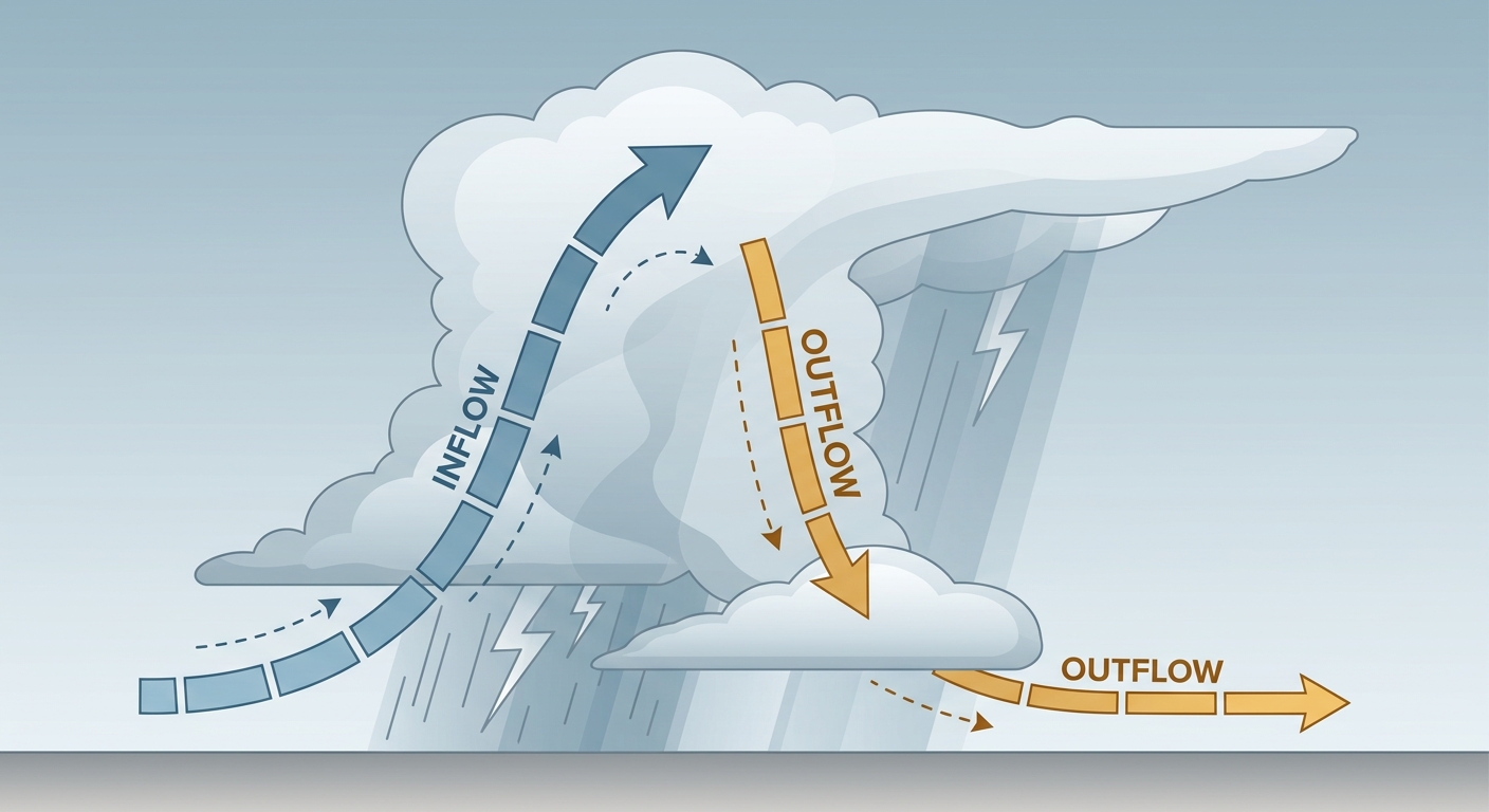
The Flooding Threat Riding Along With It
Here's the thing about today's setup: it isn't just a wind story. WPC has a Slight Risk of excessive rainfall stretching from the Upper Midwest all the way down to the Gulf Coast, plus a separate patch over New Mexico and the southern High Plains. Precipitable water values are running 150-175% of normal, around 2 to 2.25 inches, which is a lot of moisture sitting in the atmosphere ready to wring out.
This lines up with what's already been a soggy week. Remember Grenville, South Dakota picking up 7 inches of rain yesterday, or the mudslide that blocked US-169 near St. Peter, Minnesota? That same moisture plume is still in play, just shifted south and east. Middle Tennessee and northern Alabama, including Nashville and Huntsville, are dealing with both the severe wind threat AND the flash flood risk today, so it's a two-front kind of day for those areas. If you're in the Nashville metro, this tracks with what folks have been searching for locally, heavy storms and a flood risk are both legitimately in play this weekend.
Looking Ahead: Sunday Shifts East, Monday Shifts North
By Sunday, the severe threat slides into the upper Ohio Valley, the Carolinas and parts of Georgia. SPC has that pegged as a Marginal Risk, affecting about 48.6 million people including Columbus, Charlotte, Washington DC, Baltimore and Atlanta. Damaging wind is the main concern there, with a brief tornado not out of the question near a warm front lifting through the southern Mid-Atlantic. If you've got tickets to the Nationals at Braves game in Atlanta or the Phillies at Orioles series in Baltimore Sunday afternoon, keep the SPC outlook in your back pocket, it's a lower-end risk but worth watching as storms develop.
There's also a separate, more conditional severe setup building over North Dakota into northwest Minnesota late Sunday night, and that same corridor gets a Slight Risk on Monday as widely scattered to scattered storms bring large hail and damaging gusts to Fargo, Bemidji and the surrounding area.
Meanwhile the excessive rainfall threat keeps migrating too. Monday's WPC outlook shifts a Slight Risk into the northern Mid-Atlantic, southern New York and southern New England, thanks to an axis of anomalous precipitable water (2+ standard deviations above normal) stretching up the East Coast. That's worth watching if you're flying through Buffalo, Cleveland or the Adirondacks corridor, a rare August TROWAL setup is in play there.

Out West: Critical Fire Weather Continues
While the East deals with wind and water, the Pacific Northwest is dealing with dangerous fire weather again today. SPC has an Extremely Critical designation for the Columbia Basin in central and southeastern Washington and northern Oregon, with a broader Critical area covering eastern Oregon, far western Idaho, the Idaho Panhandle and northwestern Montana. Upper-level ridging is holding strong, and that combination of low humidity and gusty wind is exactly what fed yesterday's Red Flag Warnings and the PSPS outages in Washington and Idaho. Sunday, that critical zone shifts into far northern Utah, western Wyoming, and central/eastern Idaho as the trough finally starts to move through.
What We're Watching
- Whether storms over Middle Tennessee and northern Alabama can combine damaging wind with locally heavy rainfall this afternoon and evening
- How much the Sunday severe risk expands as it reaches the Carolinas, Georgia and the DC/Baltimore corridor
- The rare August TROWAL setup bringing flash flood potential to the Great Lakes and interior Northeast by Monday and Tuesday
- Continued Extremely Critical fire weather in the Columbia Basin today, with that risk sliding into Montana and Wyoming this weekend
- A minor, S1-level solar radiation storm and a G1 (Minor) geomagnetic storm chance later this month on August 19, nothing disruptive at this point
Bottom Line
If you're anywhere from Cincinnati and Dayton down through Nashville, Huntsville and Chattanooga, have a way to get severe weather alerts today. Wind is the primary hazard, and a soggy ground from this week's rain means flash flooding can sneak up fast even where storms aren't severe. Sunday, shift your attention toward the Carolinas, Georgia and the DC/Baltimore area if you've got outdoor plans, including that Braves-Nationals game. And if you live anywhere near the Columbia Basin in Washington or Oregon, today is not a day for outdoor burning or anything that throws a spark.