Blog Article
Midwest Severe Weather Risk Builds for Sunday, Chicago Watch
SPC posts a Slight Risk for Sunday across the Midwest with damaging wind and isolated tornado potential, while flooding rain targets the SC/GA Low Country today.
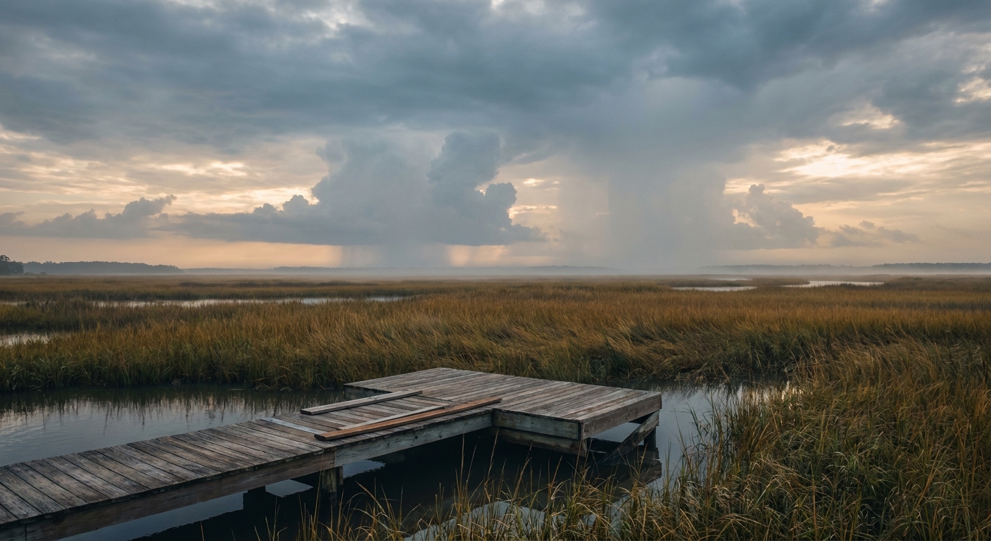
Slight Risk Today for the Carolina Low Country, Bigger Concern Builds for the Midwest Sunday
Alright y'all, two separate stories are worth your attention this morning, and they're in two very different parts of the country. Down in the Low Country of South Carolina and Georgia, tropical moisture is setting up a flooding concern today. Meanwhile, out in the Midwest, Sunday is shaping up to be the more organized severe weather day of this stretch, with Chicago sitting right in the bullseye.
Neither of these is a top-tier, hair-on-fire kind of setup. But both deserve a real plan, not just a shrug.
Today: Tropical Moisture Squeezes Out Heavy Rain in the Low Country
WPC has a Slight Risk of excessive rainfall posted for the Low Country of South Carolina and Georgia today. An area of disturbed weather is riding up the Atlantic coast off north Florida, and it's dragging deep tropical moisture with it. Precipitable water values over 2 inches mean the atmosphere is loaded, and any storm that fires is going to be efficient at wringing out heavy rain.
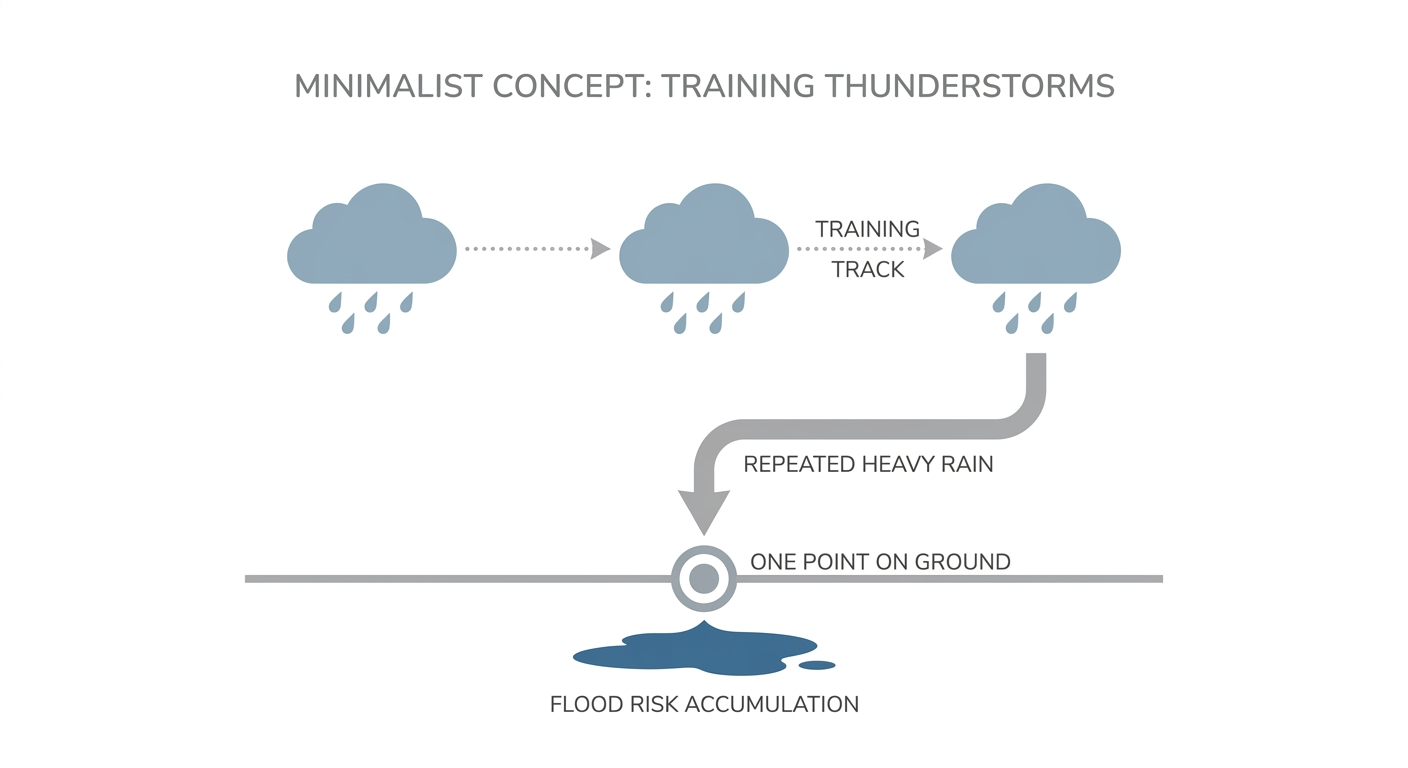
This isn't a widespread disaster setup. It's a "know your low spots" kind of day. If you're near Charleston, Savannah, or anywhere in that coastal plain, watch for training storms, the kind that repeat over the same neighborhoods instead of moving through quick. That's the pattern that turns a normal August thunderstorm into a street-flooding mess.
Sunday: The Midwest's Turn, and It's a Notch Up From Today
Here's the thing about tomorrow. SPC bumped the Midwest up to a Slight Risk, Level 2, for Sunday afternoon and evening. That covers roughly 43,700 square miles and about 13.5 million people, and it puts Chicago, Rockford, Cedar Rapids, South Bend, and Davenport in the crosshairs. A Marginal Risk fans out further, wrapping in Indianapolis, Milwaukee, and Cincinnati, plus an unrelated pocket of Marginal risk for Tucson and southeastern Arizona from monsoon storms.
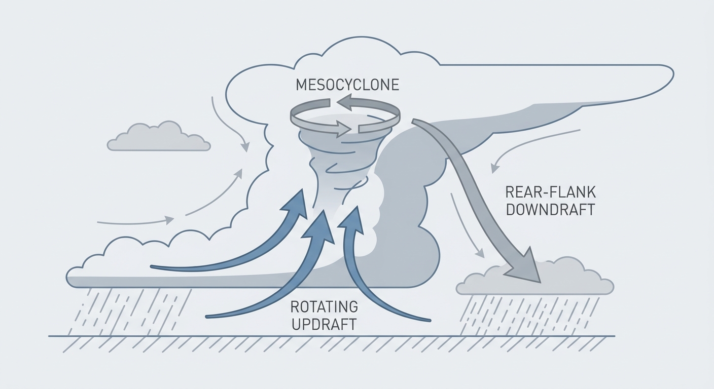
The setup: strong low-level convergence sets up on an axis from Iowa into northern Indiana, with surface dewpoints running in the 70s and 0-6 km wind shear of 35 to 45 knots. That's plenty of turning in the atmosphere to support supercells early, with the potential for that activity to organize into a line of storms as it moves east through the evening. The primary threat is damaging wind gusts, with SPC posting a 15 percent probability, Level 2, for that hazard. There's also a 2 percent isolated tornado risk tucked into that same corridor from Iowa into northern Indiana.
This lines up with a pattern we've watched build all week. Tornadoes touched down near Waverly and Readlyn, Iowa on Thursday night, part of a stretch that's seen the Midwest and Mid-Atlantic take hit after hit from severe storms and flash flooding since early August. Sunday doesn't look like a repeat of that scale, but the ingredients are real enough that SPC felt confident enough to draw that Slight Risk contour.
If you've got plans Sunday afternoon in Chicago, the White Sox host the Guardians that evening, and there's also a Cardinals game in St. Louis and a Twins-Brewers series in Milwaukee. None of those cities sit under the highest-end risk, but Chicago's close enough to the Slight Risk zone that an eye on the sky during the late innings isn't a bad idea.
Monday: The Threat Shifts East Into the Great Lakes
By Monday, SPC has another Slight Risk posted, this time running from northern Illinois eastward into western Pennsylvania, catching Chicago again along with Columbus, Detroit, Cleveland, and Pittsburgh. A mid-level shortwave trough moving into the Great Lakes region is the driver, with severe wind gusts again the main concern.
Worth noting, and worth being careful with. Our analog system flagged the June 29, 2012 derecho as regional precedent for a destructive Illinois-to-Ohio wind corridor. That event was real and well documented, with 675 wind reports and a 93 knot gust. But Monday's forecast wording doesn't show the extreme instability or the tight, progressive derecho structure that made 2012 so damaging. Same general geography, different setup. Think of it as a reminder of what that corridor is capable of, not a prediction that it's happening again.
Rainfall Follows the Storms
WPC also has Slight Risk excessive rainfall outlooks for Sunday across the Upper Great Lakes and Upper Mississippi Valley, and for Monday across the Great Lakes and separately over southeastern Arizona. Multiple rounds of storms, including some slower-moving, more widespread activity Sunday night, raise the risk of urban and small stream flooding around Chicago, Milwaukee, and Detroit. If Sunday's severe threat and the flooding risk stack on the same neighborhoods, that's the kind of one-two punch that turns a rough afternoon into a rough 24 hours.
Elsewhere Worth Watching
- Phoenix and Tucson: Major heat risk continues, with highs expected near or above 110°F, roughly 5 or more degrees above the August normal high of 105°F for Phoenix. Layer in the Marginal severe risk from monsoon storms and you've got a dual-hazard day for anyone spending time outside.
- Maine: A Marginal severe risk exists ahead of a cold front, with isolated wind damage possible.
- Space weather: Nothing to worry about here. SWPC has conditions running quiet to unsettled, with a G1 Minor storm level possible around August 19. That's minor aurora and satellite-operator territory, not something that affects your day.
Bottom Line
If you're in the Low Country of South Carolina or Georgia today, watch for repeat rounds of heavy rain and avoid low-lying roads if storms stall over your area. If you're anywhere from Iowa to Indiana, and especially in Chicago and Rockford, Sunday afternoon and evening is your day to have a way to get warnings, whether that's a weather radio or a phone app you trust. The main threat is damaging wind, not a tornado outbreak, but an isolated twister is on the table in that Iowa-to-northern-Indiana corridor. Monday, the focus slides east toward the Great Lakes and western Pennsylvania with another round of wind-driven storms possible. None of this is catastrophic by the numbers we're seeing, but this week has already shown how fast a Slight Risk day can turn into downed trees and flooded streets. Take it seriously, not fearfully.