Blog Article
Late Snow in Denver & Severe Storms in the South
A late-season winter storm brings heavy snow to Denver while triggering a severe weather and tornado threat for Arkansas and Texas on Tuesday.
Snow Delays in Denver and Supercells in the South
Get this, y'all. The New York Mets are in Denver tonight and tomorrow to play the Rockies. It is the first week of May. The normal high in the Mile High City right now is a very comfortable 71 degrees. But if you are watching the game on TV, you are going to see a lot of folks shivering in the stands.
We have a serious clash of seasons happening across the country right now. While the Met Gala wraps up in New York City and people start looking forward to summer music festivals, a massive late-season winter storm is setting up shop right over the Central Rockies.
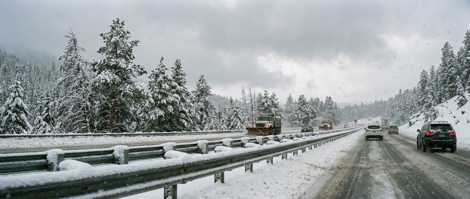
Winter Hangs On in the West
We are talking about heavy, wet snow piling up along the I-25 corridor. If you live in Denver or Cheyenne, this is not just a few harmless spring flurries. This system is bringing enough heavy snow to snap tree limbs and make your Wednesday morning commute a real mess.
The National Weather Service is specifically watching the foothills where accumulations could top a foot. The snow will be wet and heavy, which means power lines will be under a lot of stress. If you are traveling on I-25 or I-80 over the next 48 hours, you need to be prepared for significant delays and slick roads.
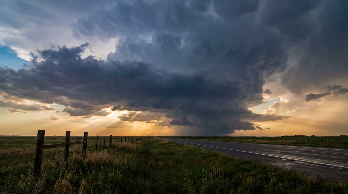
The Severe Threat Shifts South
Now, drop down into the Southern Plains and the Arklatex. The exact same upper-level trough causing snow in Colorado is pulling rich, warm air straight off the Gulf of Mexico.
By Tuesday afternoon, we have a Slight Risk of severe weather centered right over Arkansas. This threat stretches down into northeast Texas and over to western Tennessee. Cities like Dallas, Little Rock, and Memphis need to be paying close attention.
Here is the thing. The environment in Arkansas is primed for discrete supercells tomorrow afternoon before things merge into a messy, noisy line of storms later in the evening.
The Storm Prediction Center has highlighted a 5 percent risk for tornadoes in this area. More importantly, there is a hatched area for significant tornadoes. That means any tornadoes that do form could reach EF2 intensity or stronger.
We are also looking at a 15 percent chance of scattered severe hail. Inside the hatched risk area for hail, we could see stones up to two inches across. That is hen-egg size, folks. If you have a car parked outside in Little Rock or Shreveport, tomorrow is the day to clean out the garage and pull it inside.
What This Means for You
Spring weather does not care what the calendar says. We have people shoveling snow in Colorado and people dodging two-inch hail in Arkansas all from the exact same weather system.
If you live in the Slight Risk area for Tuesday, make sure your weather radio has fresh batteries and your phone notifications are turned on loud. Have a plan for where you will go if a warning is issued for your neighborhood. We will keep watching the data and bring you updates as this system moves east.
https://ryanhallyall.com/blog/snow-delays-in-denver-and-supercells-in-the-south