Blog Article
Critical Fire Danger Expanding & Great Lakes Severe Threat
Critical fire weather hits the Plains and Southeast today while a new system brings severe thunderstorm chances to the Great Lakes by Monday night.
Spring Festivals, Fire Danger, and a Great Lakes Setup
Alright folks, it is officially the weekend. We have got NCAA tournament games on the screens and a massive lineup of outdoor festivals from coast to coast. If you are heading out to the Dallas Country and Red Dirt Festival today, you already know about the heat and fire danger we talked about yesterday. But get this. That fire threat is expanding, and it is showing up in some places you might not expect.
While a massive area of high pressure is delivering picture-perfect, windows-open driving weather to a huge chunk of the country, it comes with a catch. The air is incredibly dry.
The Hidden Hazard
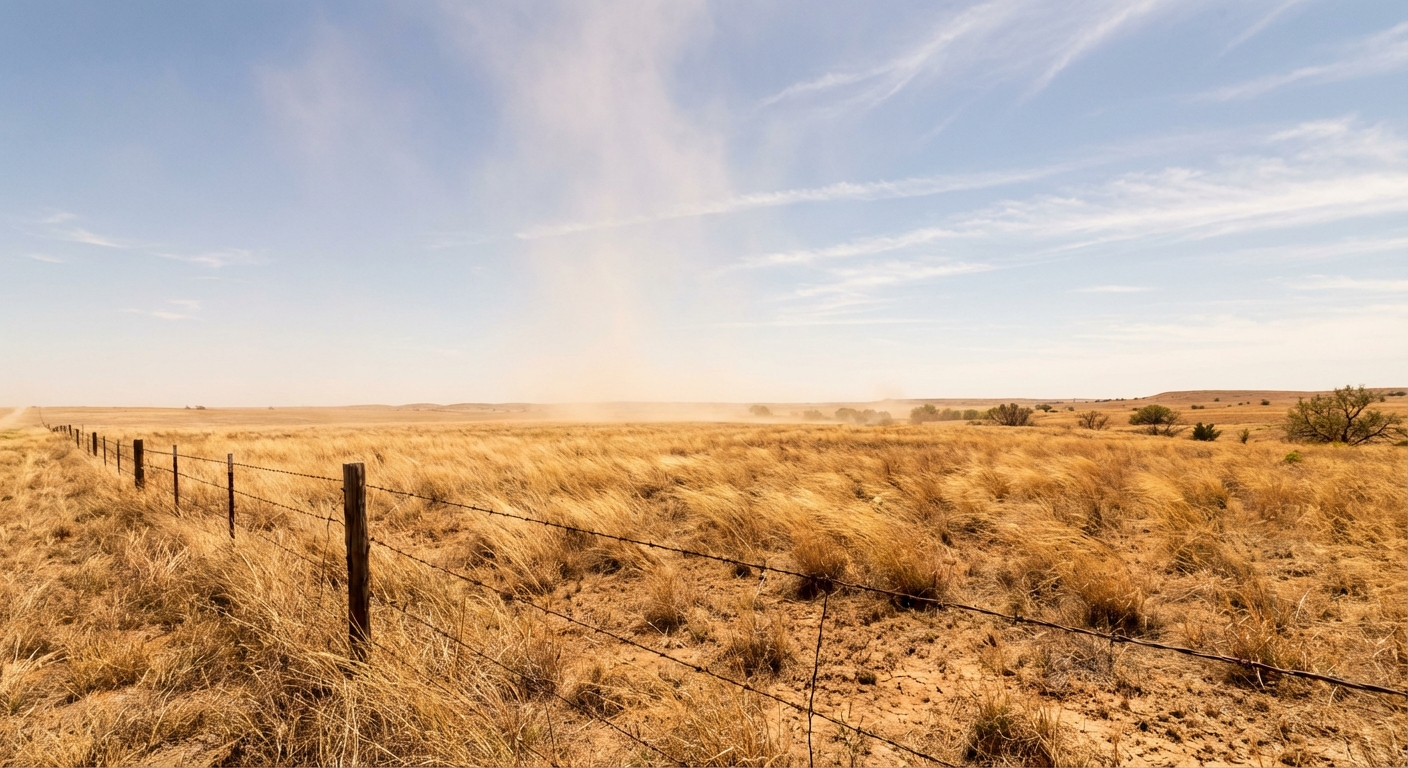
The Storm Prediction Center has posted Critical Fire Weather areas for today. We expect this in places like southeastern Wyoming and the Central Plains. The winds coming off the Rockies mixed with that dry air turn dormant grasses into a tinderbox.
But look at the Southeast. We have a Critical Fire Weather area covering southern South Carolina, southern Georgia, and the Florida Panhandle. If you are heading to FuelFest in Tampa or the Oxtail Festival in Orlando, the weather will look gorgeous. Temperatures are running right around normal, but the humidity is tanking. A stray spark or a tossed cigarette out the window can start a brush fire in a hurry today. Keep your chains from dragging if you are towing a trailer.
Travel Headaches and Festival Starts
If you are flying today, we have two main trouble spots. Out west, dense fog is creating a mess at LAX this morning. If you are flying into Los Angeles to catch the Dodgers take on the Diamondbacks, check your flight app before you head to the airport. Ground delays are highly likely until that fog burns off.
On the East Coast, morning thunderstorms are rolling through the Mid-Atlantic. Folks heading to the Subaru Cherry Blossom Festival in Philadelphia might have to dodge some early raindrops. The normal high in Philly for late March is 53 degrees, and once this morning system clears out, it will turn into a pretty nice afternoon.
Watching the Great Lakes
Enjoy the quiet weather this weekend, because the pattern starts shifting by Monday.
An upper-level system is going to dig into the central part of the country early next week. By Monday night into Tuesday morning, the SPC has already outlined a Marginal Risk for severe thunderstorms across the Upper Mississippi River Valley and the Lake Michigan area.
- Who is in it: Milwaukee, Madison, Green Bay, Rockford, and Grand Rapids.
- What to expect: Isolated strong to severe thunderstorms late Monday night.
- The setup: A cold front pushing into a returning layer of moisture.
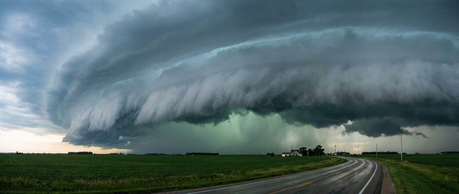
It is not a high-end outbreak, but nighttime storms are always tricky. Make sure you have a way to get warnings that will actually wake you up if you live in Wisconsin, northern Illinois, or western Michigan.
Bottom Line
Enjoy the outdoor events today, but respect the fire danger in the Plains and the Southeast. Keep an umbrella handy this morning in the Mid-Atlantic, and if you live near Lake Michigan, take a few minutes this weekend to check your weather radio batteries before Monday night's storms arrive.
https://ryanhallyall.com/blog/spring-festivals-fire-danger-and-a-great-lakes-setup