Blog Article
Severe Weather Forecast: Chicago and Milwaukee Face Storms
An Enhanced Risk of severe weather targets Chicago, Milwaukee, and Des Moines on Tuesday. Expect large hail, tornadoes, and significant travel delays.
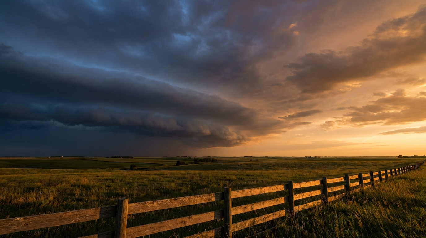
Storms Shift East: Chicago and Milwaukee in the Crosshairs
Alright y'all, we talked yesterday about the severe threat setting up for Minneapolis. That is still very much on the table for today. If you are heading to Target Field tonight for the Red Sox and Twins game, keep your head on a swivel and know where your shelter is.
But today I want to look at what happens tomorrow.
As this storm system pushes east on Tuesday, the severe weather threat shifts right along with it. The Storm Prediction Center has an Enhanced Risk posted for eastern Iowa, northern Illinois, and southern Wisconsin. We are talking about nearly 15 million people in the bullseye, including Chicago, Milwaukee, and Des Moines.
The Setup for Tuesday
Here is what is happening. We have an upper-level trough ejecting out of the Southwest. At the surface, a low pressure system is going to deepen across the central High Plains. Out ahead of that low, the atmosphere is pulling warm, moist air straight up into the Midwest.
Normally, Chicago sees high temperatures around 59 degrees this time of year. Tomorrow, we are looking at temperatures spiking well above normal. That heat is going to create a highly unstable environment across the Great Lakes region.
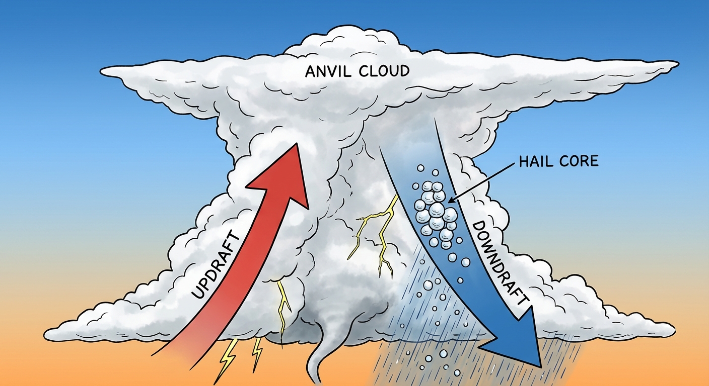
When you combine that heat and moisture with strong winds aloft, you get supercells. The primary threats on Tuesday afternoon and evening will be very large hail and a few tornadoes. As the sun goes down, those discrete storms are expected to merge into a line. That will transition the main threat to damaging straight-line winds as the storms push toward Lake Michigan.
Travel and Daily Impacts
If you live in the Chicago suburbs or up toward Milwaukee, Tuesday evening is not the time to be running errands. The timing of these storms could directly impact the evening commute.
Flying is also going to be a headache. The aviation outlook shows a high likelihood of ground stops and cascading delays at major hubs like Chicago O'Hare and Midway. If you have a flight connecting through the Great Lakes tomorrow, check your airline app before you leave for the airport.
Fire Danger Out West
While the Midwest deals with storms, the backside of this system is creating a completely different hazard.
That same surface low deepening in the Plains is going to kick up some serious wind. The SPC has highlighted a Critical Fire Weather area for Tuesday across southeast Colorado, specifically around Lamar, and the adjacent High Plains. We are expecting west winds sustained at 20 to 25 mph, combined with relative humidity dropping to 10 to 15 percent. If a fire starts in those conditions, it will spread incredibly fast.
The Bottom Line
For today, the upper Mississippi River Valley needs to be on high alert for large hail and isolated tornadoes.
For tomorrow, folks from Des Moines to Chicago need to have their severe weather plans ready. Make sure your phones are charged and your weather radio has fresh batteries. Know where your safe room is before the warnings are issued. Out in southeast Colorado, avoid any outdoor burning or activities that could throw a spark.
https://ryanhallyall.com/blog/storms-shift-east-chicago-and-milwaukee-in-the-crosshairs