Blog Article
NFL Week 2 Weather: Storms Threaten Sunday's Outdoor Games
A marginal severe risk and slight flood risk stretch across Sunday's NFL slate from Cincinnati to New Jersey. Here's what fans and tailgaters need to know.
Sunday's NFL Slate Has a Weather Problem, and It's Not the Heat
Alright folks, let's talk about football weather. Not the fun kind either, the kind where you're checking radar between fantasy lineup swaps.
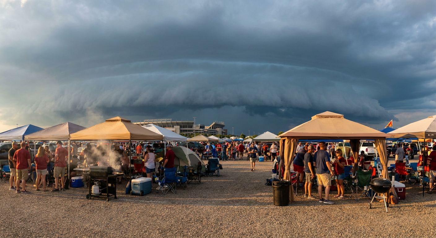
Sunday's NFL Week 2 slate has four outdoor games sitting inside or right next to a corridor the Storm Prediction Center and the Weather Prediction Center both have flagged. Bucs at Bengals in Cincinnati. Falcons at Steelers in Pittsburgh. Commanders at Eagles in Philly. And the Sunday nighter, Cowboys at Giants up in East Rutherford. That's a lot of tailgate tents sitting under one weather setup.
What's actually cooking up there
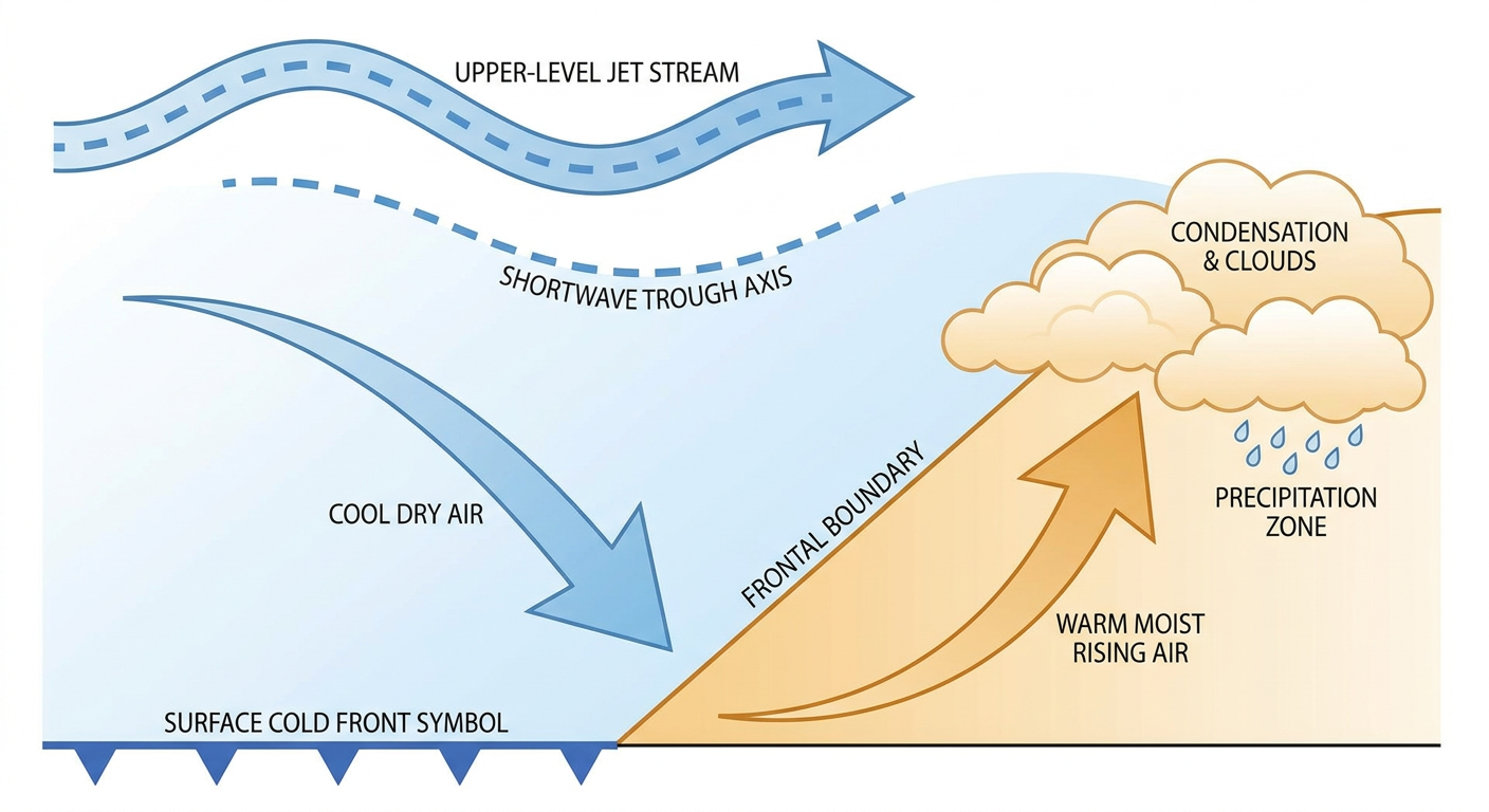
A mid-level shortwave trough is amplifying as it swings from the Upper Midwest toward the eastern Great Lakes on Sunday. Out ahead of it, a cold front and a developing surface low (some models want it coastal, some want it inland, that detail still isn't nailed down) are going to squeeze out showers and a few embedded thunderstorms across a wide stretch of real estate.
SPC has a MARGINAL risk for severe storms Sunday covering Columbus, Cincinnati, Pittsburgh, Akron, and Syracuse. Marginal is the lowest rung on their ladder, but it still means isolated damaging wind gusts and a little small hail are possible if a cell gets its act together. That's Bengals-Bucs and Falcons-Steelers territory almost exactly.
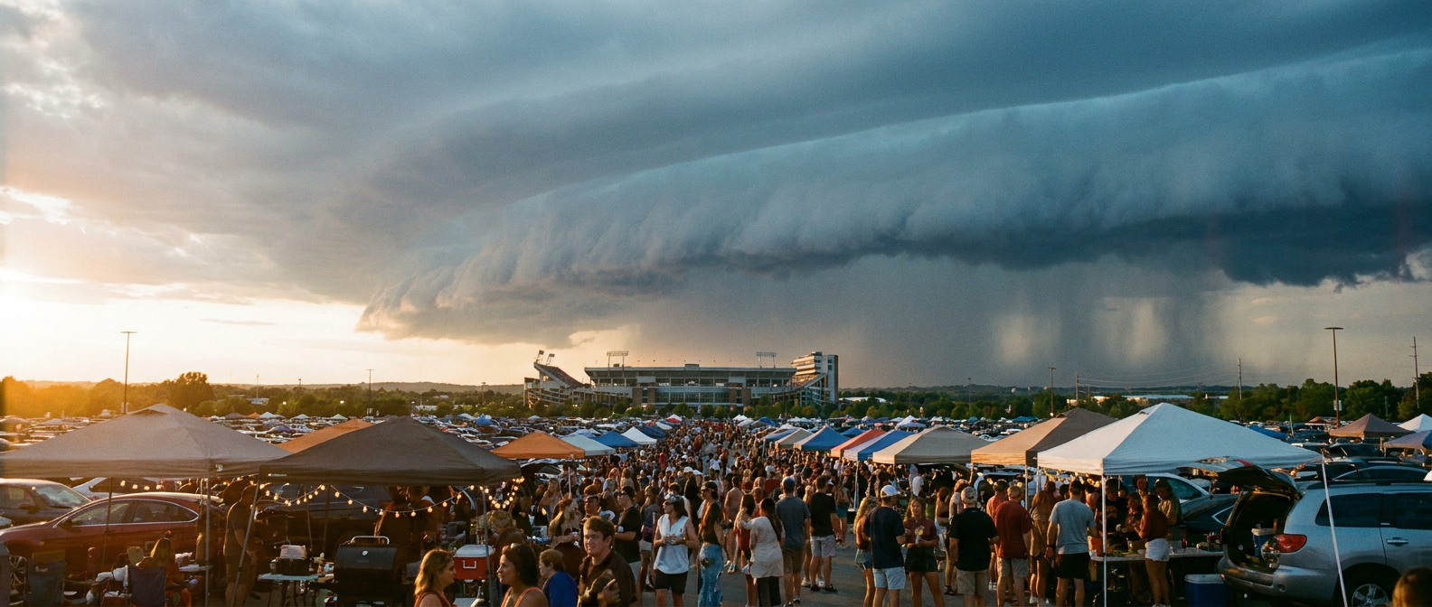
Meanwhile WPC has a SLIGHT risk for excessive rainfall running from the lower Ohio Valley up through the lower Great Lakes, New York, and coastal New England, with the higher-end concern actually sitting over Long Island, the NYC metro, coastal Connecticut, Rhode Island, and southeastern Massachusetts. Precipitable water values up around 2.25 inches mean the atmosphere's loaded with moisture, and the setup favors training thunderstorms, meaning cell after cell rolling over the same spot. That's how you get localized totals of 3 inches or more and the kind of urban flash flooding that turns a stadium parking lot into a lake. East Rutherford sits close enough to that corridor that Giants fans should keep an eye on it heading into Sunday night.
It's not just Sunday, either
Today's college slate has its own wrinkle. SPC's got a SLIGHT risk for severe storms centered on Wichita, Enid, and Anthony, with a broader MARGINAL zone stretching to Oklahoma City, Kansas City, and Tulsa. Kansas State hosting Washington State in Manhattan sits close enough to that boundary that afternoon storms could bring some large hail and gusty wind into the mix by kickoff or shortly after. MLCAPE readings in the 2,000 to 3,500 J/kg range with steep lapse rates mean any storm that fires along that front has real fuel to work with, potentially strong enough to produce hail 2 inches or bigger in the hatched zone.
This isn't coming out of nowhere either. We're one day removed from spotter-confirmed tornadoes and downed power poles in Stevens County, Minnesota, and urban flash flooding that shut down I-285 in Atlanta. The atmosphere's been active all week, and Sunday's setup is really just the next chapter, just dialed down a notch on the severity scale.
The temperature side of things is almost boring
Here's the twist: nobody's sweating out a heat advisory this weekend. Philadelphia's normal high this time of year sits around 78, and DC runs about 80. Forecast temps for Sunday are tracking close to those numbers, nothing dramatic. The story isn't the thermometer. It's the sky.
And out in the Pacific
Far away from all this, Tropical Storm Norbert is spinning about 1,325 miles southwest of Baja California with 52 mph winds, drifting west-northwest and expected to fizzle out east-southeast of Hawaii by midweek. Hawaii's on an "aware" tier, nothing more, with closest approach still five days out and well over 200 miles offshore. It's not a threat to the mainland and it's barely a threat to Hawaii at this point, but after the year Kauai's had with Hurricane Lowell, folks out there are keeping half an eye on the tropics regardless.
What to actually do with this
- Heading to Cincinnati, Pittsburgh, or Philly Sunday? Bring a rain layer and don't be shocked if the PA announcer mentions a weather delay.
- East Rutherford for Sunday night football? Watch the radar through the afternoon. The higher-end rain risk sits just east of you, but these setups shift.
- Tailgating anywhere in the Ohio Valley to lower Great Lakes corridor? Isolated damaging gusts are on the table. Secure the canopy stakes.
- In Kansas for today's games? Afternoon storms near Wichita could pack hail large enough to dent a car hood. Watch the sky, not just the scoreboard.
The forecast for Sunday's slate isn't a washout and it's not a nightmare. It's a marginal-to-slight setup, the kind that mostly behaves but occasionally throws a curveball. Just don't be the person who finds out the hard way that "marginal" doesn't mean "nothing."
https://ryanhallyall.com/blog/sundays-nfl-slate-has-a-weather-problem-and-its-not-the-heat