Blog Article
NFL Sunday Weather: Storms Loom Over Pittsburgh, Cincinnati
SPC storm risk hits Pittsburgh and Cincinnati after NFL kickoff, while Hawaii's Big Island watches a weakening Tropical Storm Norbert after last week's Hurricane Lowell.
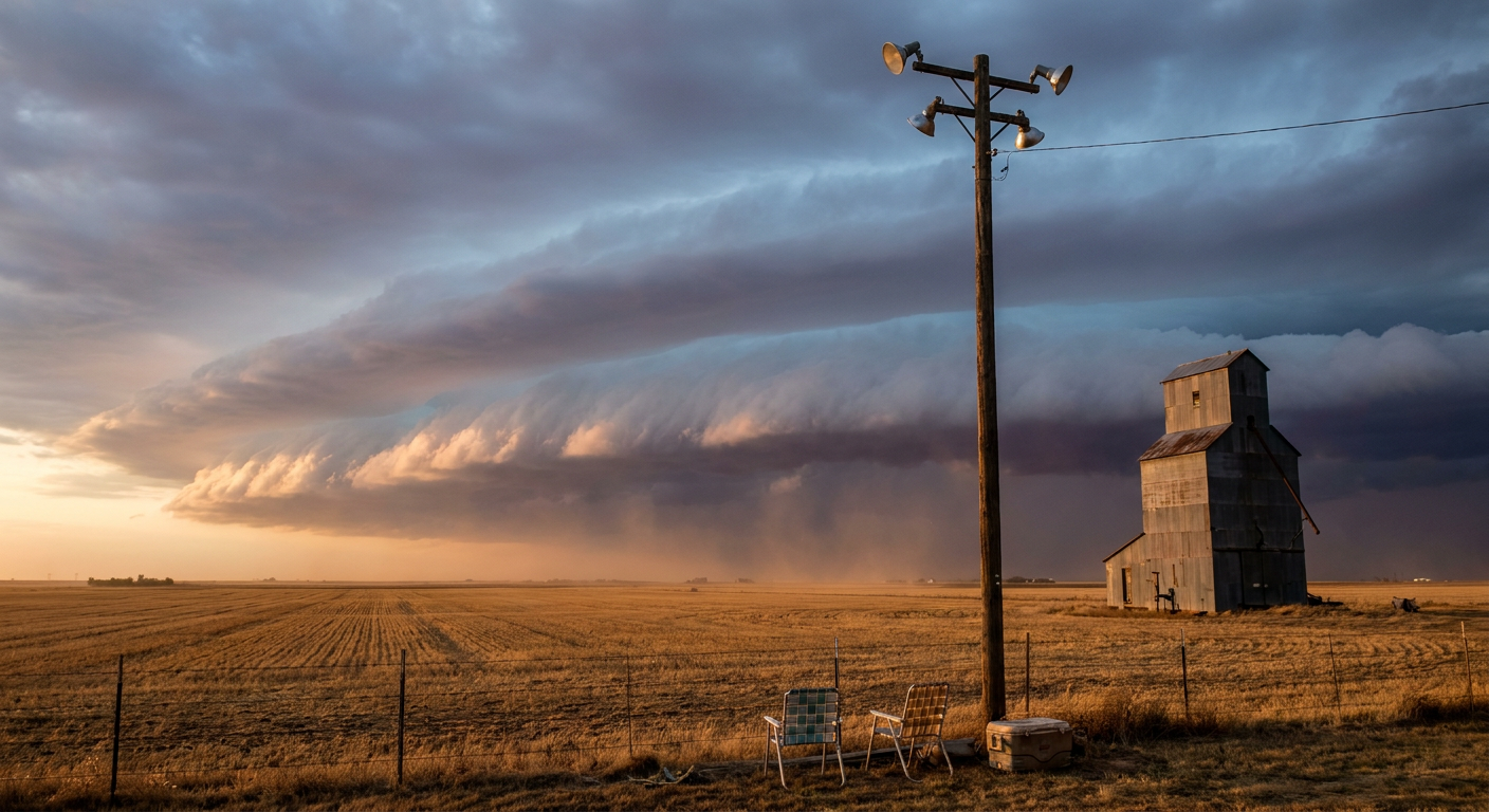
Tailgates, Thunder, and a Big Island on Watch: Your NFL Sunday Weather Reality Check
Y'all, kickoff's at 1 o'clock in Pittsburgh and Cincinnati today, grills are smoking in the parking lots, and there's a detail nobody's mentioning on the pregame shows. The Storm Prediction Center has a Slight Risk of severe thunderstorms sitting right over Pittsburgh, with a broader Marginal Risk stretching over Cincinnati, Columbus, Dayton, and Buffalo. That risk window opens up around 4 o'clock this afternoon and runs into the overnight hours. Which means the storms show up right as tailgaters are packing up the coolers and heading for the parking lot exits.
What "Slight Risk" Actually Means for Your Sunday
Here's the thing about SPC categories. Slight doesn't mean nothing. It means isolated to scattered severe storms are possible, and in the Pittsburgh corridor, forecasters are carrying a 15 percent chance of damaging wind gusts over 60 mph and a 5 percent chance of quarter-size hail. That's not a washout. It's a "know where your car is parked and don't linger in an open lot" kind of afternoon.
And Pittsburgh's already had a rough go of it. Just yesterday, the National Weather Service office there logged flash flood reports on Sycamore Street, Route 19, Route 51, and a half dozen other spots around Washington and Allegheny counties, plus trees down across multiple roads. The ground's still soggy. So today's storms aren't landing on dry turf. They're landing on a region that's already had a wet week.
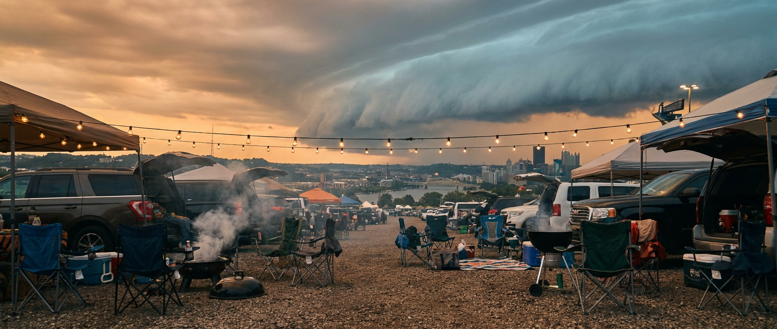
Down the road on Monday night, the risk shifts west toward Omaha and Des Moines, right in the neighborhood of Arrowhead Stadium, where the Broncos and Chiefs kick off in primetime. Iowa's still nursing a flood hangover from earlier this month, when West Des Moines picked up 7.8 inches of rain in a day and pushed Walnut Creek into moderate flood stage. Any fresh heavy rain up there, even if it stays north of Kansas City itself, keeps that soil saturated and the rivers touchy.
Meanwhile, Hawaii Is Watching the Water Again
If you feel like Hawaii just can't catch a break this September, you're not wrong. Hurricane Lowell tracked past Kauai last week as a Category 2, with measured gusts to 85 mph, surf damage at Poipu, and more than 33,000 customers losing power. Now, Tropical Storm Norbert is aiming a glancing blow at the Big Island's east side, with forecasters putting Hilo, the Kona Coast, and the rest of Hawaii Island under a "prepare" threat level in the experimental RHY impact model. Norbert's expected closest pass is still about four days out, and the storm is showing some encouraging signs of falling apart. Satellite imagery shows its center has become exposed, dry air has worked into the core, and top winds have already eased to 46 mph. By the time it gets close to the islands, current guidance has it down closer to 25 mph, which is barely tropical storm strength if that.
That's good news, but it's not nothing. A weaker Norbert still means rounds of rain and rougher surf on ground that's already tired from Lowell's cleanup. If you know folks on the Big Island, it's worth a check-in text this week, even if the forecast trend is heading the right direction.
What This Means for Your Sunday and Your Week
For NFL fans in Pittsburgh and Cincinnati, this isn't a game-postponing setup. It's an "eyes up during the fourth quarter" setup. Storms firing along that Ohio Valley corridor this evening could bring gusty wind and a stray hail stone or two, mostly after the final whistle blows. If you're tailgating late or driving home through western Pennsylvania tonight, keep half an eye on the radar the way you'd keep half an eye on the scoreboard.
For Hawaii, the story is recovery layered on top of caution. Norbert looks like it's losing steam before it gets there, but islands that just went through Lowell don't have a lot of margin left for even a glancing hit.
Weather doesn't care what's on the schedule. It just shows up when the atmosphere says it's time, kickoff or no kickoff.