Blog Article
College Football Weekend Meets Severe Storm Risk in the Southeast
SPC's Slight Risk overlaps Saturday's college football slate in SC, VA, and GA, while Hurricane Lowell nears Hawaii and Marie sends surf to San Diego.
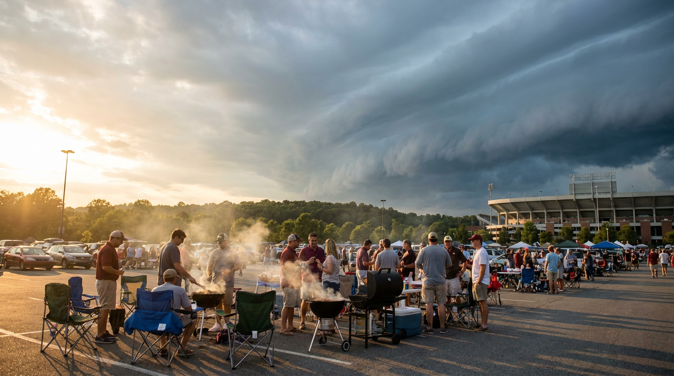
Tailgates Under a Slight Risk: College Football Meets a Southern Storm Front
Get this, y'all. Kickoff weekend has half the country doing the same thing right now: grill smoke rising in a parking lot, a cooler full of something cold, eyes on a scoreboard. Tonight, a good chunk of those tailgates sit inside the exact zone the Storm Prediction Center flagged for severe weather.
Where the Games and the Storms Overlap
Look at today's slate. Kent State is in Columbia, South Carolina, to play the Gamecocks. Liberty is in Harrisonburg, Virginia, for James Madison. Tennessee State is in Athens, Georgia, taking on the Bulldogs. All three of those stadiums sit inside or right on the edge of SPC's Day 1 Slight Risk, which covers the Carolinas into southeastern Virginia, plus a Marginal Risk swath that stretches from Atlanta up through the Ohio Valley.
Here's the setup in plain English. A humid, unstable air mass is sitting over the Southeast, and the threat is scattered damaging wind gusts, the kind that can snap a tent pole or send a folding chair tumbling across a parking lot. SPC's own numbers put a 30 percent chance of numerous damaging wind reports if storms fire in the higher-risk zone, with an isolated chance of quarter-size hail. This isn't a washout day. It's a watch-the-radar-between-plays day.
This isn't coming out of nowhere either. The same general boundary produced 58 to 64 mph gusts and flash flooding around D.C. and the Delmarva overnight Thursday into Friday, plus severe thunderstorm watches across Virginia, West Virginia, and North Carolina. Crews are still cleaning up trees off roads in half a dozen counties from that round. Tonight's activity is a continuation of that same pattern working its way south and east.
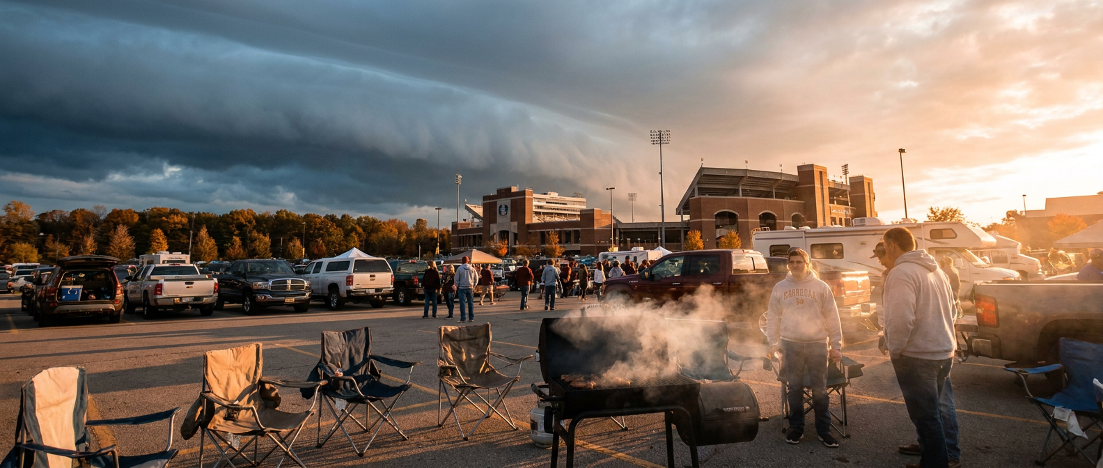
Sunday Shifts the Bullseye South
The risk doesn't clear out overnight. SPC's Day 2 outlook pushes the Slight Risk further into Georgia and the Carolinas, with Charlotte, Charleston, Savannah, and Columbia all back in the crosshairs Sunday afternoon and evening. The AI-assisted discussion for tomorrow calls for afternoon temperatures in the lower to middle 90s with dewpoints in the upper 60s to lower 70s. For context, Atlanta's average high for early September sits at 83 degrees, so we're talking roughly 8 to 10 degrees above normal on top of soupy humidity. That combination of heat, moisture, and daytime heating is exactly what turns an ordinary afternoon sky into a scattered severe setup.
Hurricane Lowell Takes Aim at Kauai
While the Southeast handles wind and hail, the bigger story this weekend is unfolding in the Central Pacific. Hurricane Lowell is a Category 4 storm with 144 mph winds, and the National Hurricane Center's forecast track brings it within roughly 215 miles of Kauai's south shore by Monday night. Watches are likely to go up for Kauai County later today.
Even at that distance, a major hurricane throws its weight around. Forecasters are pointing to 3 to 6-plus inches of rain, life-threatening surf, dangerous rip currents, and a real risk of flash flooding and mudslides on the western islands. If you've got family in Kauai or a trip booked for early next week, this is the storm to watch, not because a direct hit is expected, but because impacts don't require one.
Marie's Swell Reaches San Diego
A second hurricane, Marie, sits far offshore of Baja California at Category 1 strength, but it doesn't need to make landfall to matter for the mainland. Its long-period swells are already spreading north into Southern California waters, and San Diego and Orange County beaches are looking at life-threatening surf and dangerous rip currents through the weekend. If beach plans are on the calendar, check the local surf advisory before you paddle out. Big, glassy-looking waves from a distant hurricane can be some of the most deceptive water in the ocean.
The Other Side of the Country
Here's the flip side of all this. While the Southeast sweats under storm clouds, central New York is sitting under a rare PERFECT-tier day Sunday, cool and dry behind high pressure, with a broad band of BEAUTIFUL-to-NICE weather spreading across the Mid-Atlantic, Ohio Valley, and Great Lakes. Same country, same Sunday, two completely different weekends.
The Takeaway
If you're headed to a game in Columbia, Athens, or Harrisonburg today, keep an eye on the sky and a plan for shelter if the wind picks up fast. It's a scattered threat, not a guaranteed hit, but scattered severe storms don't wait for a good time to show up. And if you've got people in Kauai or plans to hit a Southern California beach this weekend, Lowell and Marie are both worth watching even from hundreds of miles away.