Blog Article
Severe Storms Threaten Kansas While East Coast Enjoys Perfect Weather
The PGA Championship and Sonic Temple festival will see perfect weather, but the Central Plains face a multi-day severe threat with 2-inch hail and high winds.
Tee Times, Music Festivals, and a Central Plains Severe Threat
Outdoor event season is officially in full swing. Tomorrow morning, the PGA Championship tees off in Pennsylvania, and the Sonic Temple music festival cranks up the amps in Columbus, Ohio. If you have tickets to either of those, you hit the weather jackpot. High pressure is locking in over the Ohio Valley and Mid-Atlantic, bringing clear skies and what our data literally categorizes as perfect conditions.
But while the eastern half of the country enjoys the sunshine, the Central Plains are waking up to a much more volatile setup.
The Kansas and Missouri Severe Risk
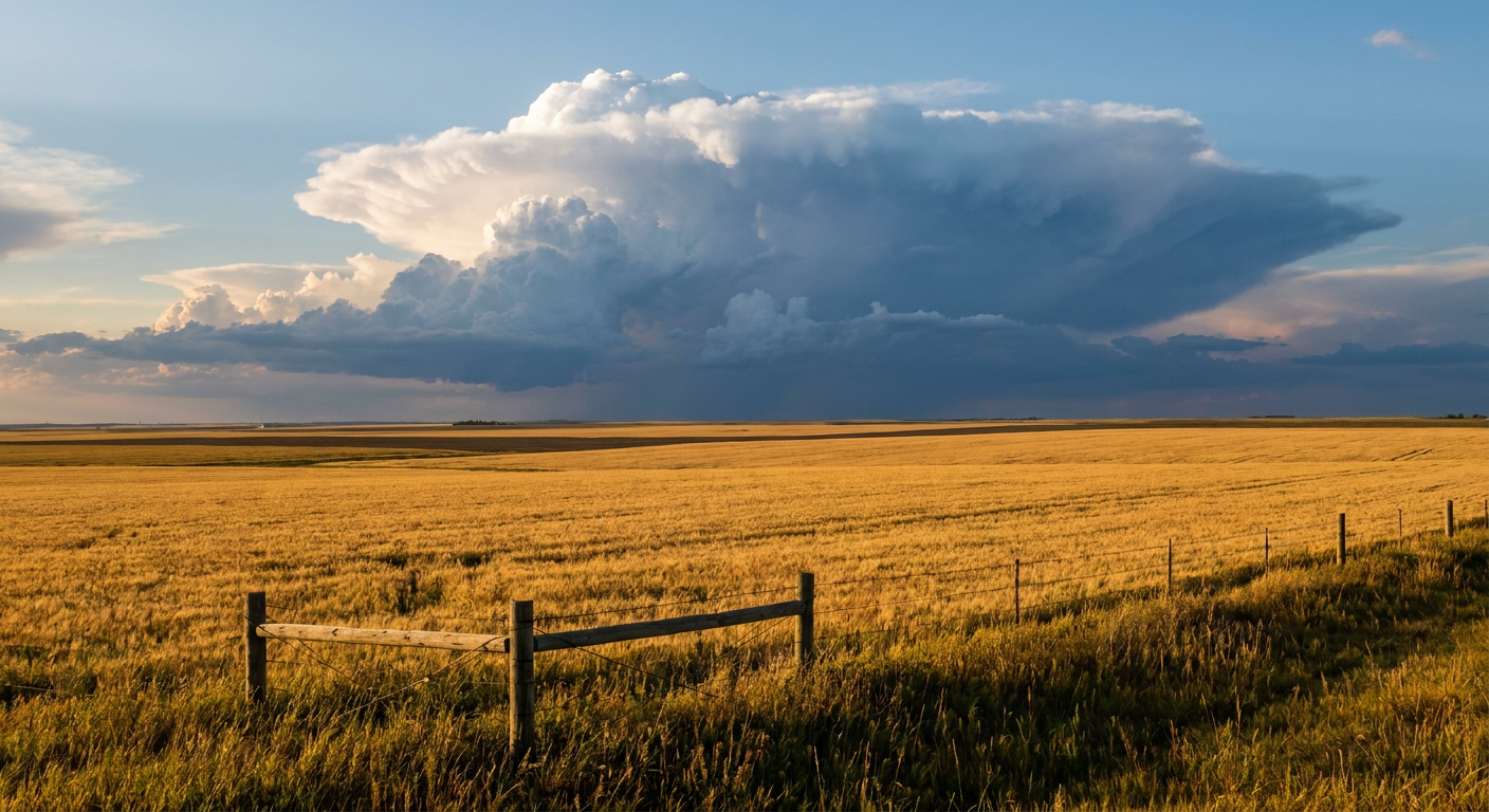
Here is the situation for Thursday. A system pushing out of the Rockies is going to clash with moisture streaming up from the south. That creates a boundary called a dryline right over central and eastern Kansas.
The Storm Prediction Center has highlighted a Slight Risk for severe storms covering places like Wichita, Topeka, and Manhattan. The main thing we are watching here is the hail. The data shows a 15 percent probability for severe hail, but there is a specific hatched area where hailstones could reach 2 inches in diameter. That is hen-egg size, y'all. If you park your car outside in central Kansas, you might want to find a garage or carport by tomorrow afternoon.
We also have a 2 percent risk for isolated tornadoes and a 15 percent risk for damaging wind gusts over 60 mph. The atmosphere is going to be primed as that dryline advances.
This active pattern does not pack up and leave on Thursday night. By Friday, that severe threat shifts a bit east into the Missouri Valley. Kansas City and Omaha are right in the crosshairs for Friday afternoon and evening. The normal high in Kansas City for mid-May is around 75 degrees, but the increasing moisture and warmth ahead of this system will provide plenty of fuel for these storms to sustain themselves.
High Winds and Fire Danger Up North
While Kansas deals with storms, the Northern Plains are facing a completely different hazard. A powerful cold front is sweeping through Montana and the Dakotas. It is not bringing much rain, but it is bringing a whole lot of wind.
The National Weather Service in Bismarck and Glasgow is tracking widespread high wind conditions. We are talking sustained westerly winds of 30 to 45 mph, with some gusts potentially reaching 70 mph or more. When you combine those winds with dry fuels and humidity dropping down to 20 percent, you get a recipe for rapid fire spread. There is an elevated fire weather threat across the Dakotas and a critical risk area lingering in northeastern Montana.
The bottom line is that the middle of the country is the focal point for active weather to close out the work week. If you are in Kansas or Missouri, make sure your weather radio has batteries and your phone alerts are turned on. If you are up in the Dakotas, obey local burn bans and secure your patio furniture. The weekend is almost here. Just make sure you know what the sky is doing before you make your plans.
https://ryanhallyall.com/blog/tee-times-music-festivals-and-a-central-plains-severe-threat