Blog Article
Texas Flood Risk Grows, Northeast Faces Severe Storms
A Moderate Risk of flash flooding grips Texas Hill Country for a third straight day while the Northeast faces an Enhanced severe weather risk today.
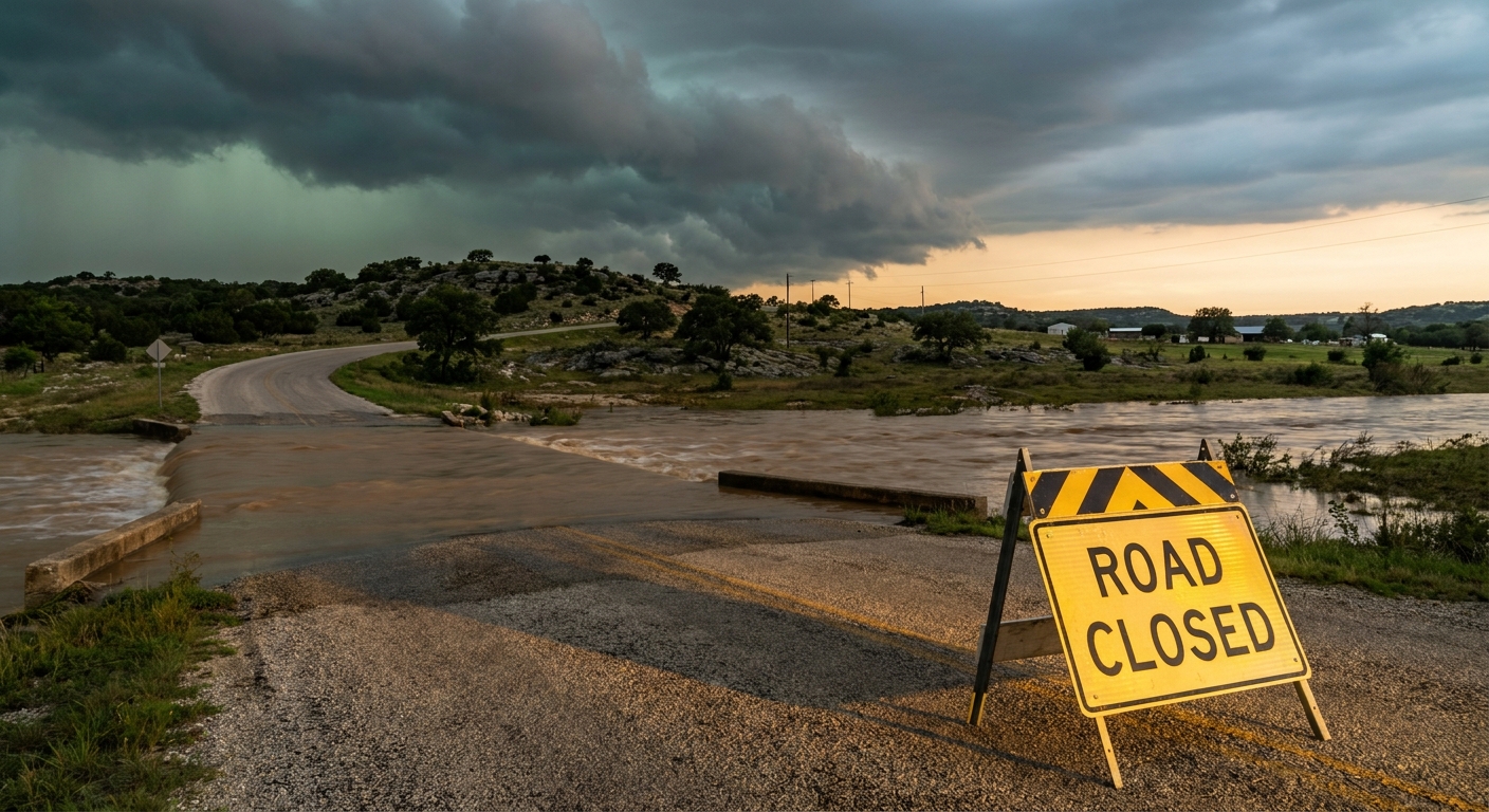
Texas Hill Country Flood Threat Ramps Back Up While the Northeast Watches for Severe Storms
Alright y'all, let's start where the real danger is sitting this morning: the Texas Hill Country. If you were following along yesterday, you saw the reports roll in from Kerrville, Doss, and Pipe Creek, roads barricaded, low water crossings under two feet of water, and that's before today's round even gets going. This is not a one-and-done storm. This is a multi-day setup, and it's not finished with south-central Texas yet.
The Big Story: A Repeat Flood Threat Over the Edwards Plateau
WPC has a Moderate Risk of excessive rainfall posted today across the Edwards Plateau, Hill Country, and the Rio Grande Valley. That's WPC's second-highest tier, and get this, it's not just a today problem. Day 2 and Day 3 outlooks also carry Moderate Risk over the same general area, meaning this pattern is basically locking in place over the same ground for three straight days.
Here's why that matters so much. Flash flooding gets dangerous fast when storms train, meaning cell after cell rolls over the exact same spot instead of spreading the rain around. WPC's discussion points to a mesoscale convective vortex, basically a slow-spinning storm engine, developing over the Edwards Plateau and RGV. It's expected to sit there and keep firing up thunderstorms instead of moving on. Our AI-assisted outlook for tomorrow flags a second disturbance drifting in from northeast Texas that could merge with the stalled system Tuesday night into Wednesday, which would renew the rain over ground that's already saturated from the last 48 hours.
The numbers being discussed are serious. Multi-day totals could push past 10 inches in the hardest-hit spots, and there's real talk of an upgrade to a High Risk if the disturbance behaves the way models think it will. San Antonio, Del Rio, and Austin are all in play, along with the smaller Hill Country towns that don't have a lot of margin when creeks come out of their banks.
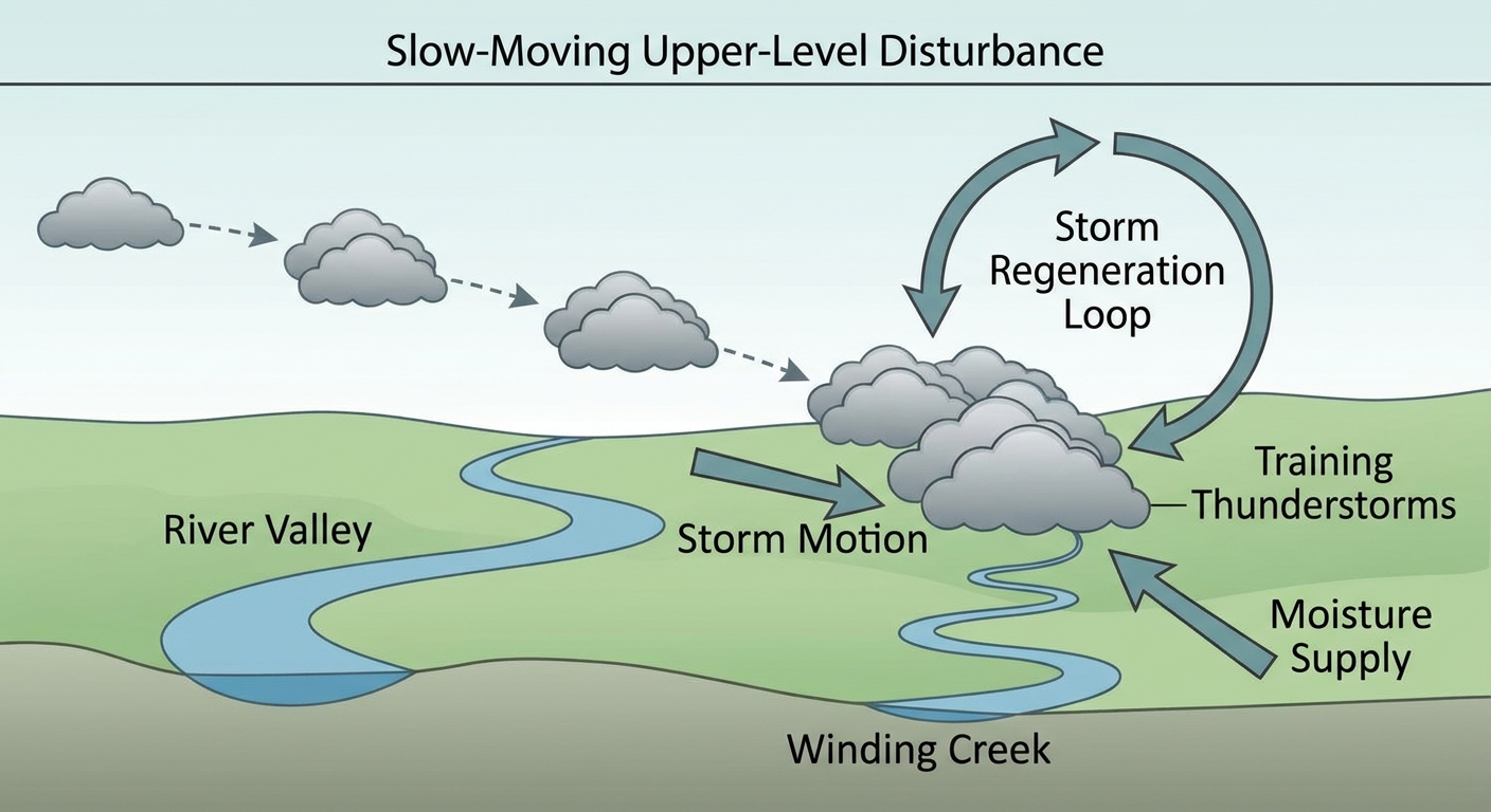
WFO Austin/San Antonio (EWX) and San Angelo (SJT) are both coordinating closely with WPC on this, and Midland-Odessa (MAF) picks up the western edge as the Moderate Risk expands toward Del Rio by Thursday. If you live anywhere near the Balcones Escarpment, this is a full week to keep the weather radio close and avoid driving through low water crossings, even ones that look shallow. Water moves fast through that terrain, and yesterday's reports of vehicles swept away are proof of how quickly that happens.
Enhanced Risk Today for Northern New York and New England
While Texas deals with water, the Northeast has its own severe weather day. SPC has an Enhanced Risk, their third of five categories, up for northern New York and northern New England today, including Burlington and Plattsburgh, NY, and up into Caribou and Allagash, ME. A Slight Risk extends south to cover Bangor and Augusta.
The setup involves a fast-moving shortwave trough and a jet streak diving southeast into a warm, humid airmass. SPC's numbers show 30 percent probability of numerous damaging wind reports, and hatched areas inside that risk zone where gusts could reach 75 mph or higher. There's also a 5 percent tornado probability with a hatched area for EF2-or-stronger tornadoes if a storm manages to go discrete before the line consolidates. Large hail up to hen-egg size is possible in the strongest cells.
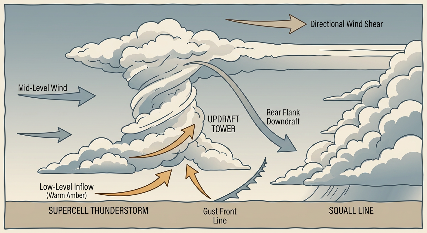
Burlington, Vermont, sits right in the bullseye of this setup. If storms stay discrete through the afternoon before going linear, that's when the tornado risk is highest. By evening, expect this to consolidate into more of a straight-line wind threat as it pushes into interior Maine.
Heat Sticks Around for the MLB All-Star Game
Today's the day, the All-Star Game is in Philadelphia this afternoon and evening. The good news compared to yesterday's derby heat is that today's numbers have backed off slightly. Current data shows highs in the upper 80s to mid-90s across the Mid-Atlantic and Ohio Valley, with dewpoints climbing into the mid-60s. New York, which we use as a stand-in for the Philly climate, averages a high of just 85°F in mid-July, so this is still running 5 to 10 degrees above normal with heat index values pushing toward 95 to 100°F in the sun. Not the 105°F extreme we flagged yesterday, but still a bring-water-and-sunscreen kind of night at the ballpark.
Other Things On the Radar
- Fire weather: Dry, breezy conditions continue across the northern High Plains into central Wyoming and Colorado today, with onshore winds bringing a fire weather threat to the California Coastal Ranges and Central Valley by Wednesday.
- Space weather: A chance of M-class solar flares today, but SWPC's 27-day outlook shows no geomagnetic storming expected. Nothing here affecting ground-level weather.
- Tropics: Three weak invests are being watched in the central and eastern Pacific, none organized or a near-term threat to land.
- Mississippi/Alabama: A new Slight Risk for excessive rainfall is showing up as saturated soils there deal with training convection too, so keep an eye on that if you're in the Southeast.
Bottom Line
If you're anywhere in the Texas Hill Country, Edwards Plateau, or Rio Grande Valley, this is not a one-day story. Treat every low water crossing as closed until you know otherwise, and expect this Moderate Risk to hang around through at least Thursday. If you're in northern New York or New England, today's the day for a severe weather plan, know where you'd shelter and keep an eye on the sky through the afternoon. And if you're headed to Citizens Bank Park tonight, it's hot, it's humid, but it's not the emergency-level heat we saw over the weekend. Stay hydrated and enjoy the game.