Blog Article
Texas Flood Risk Returns as New Severe Threat Builds
A fresh Moderate flood risk hits the Texas Hill Country today, Arizona is next, and a Slight Risk severe setup builds for the Ohio Valley to Mid-Atlantic this weekend.
Texas Isn't Done Yet: A Moderate Flood Risk Returns to the Hill Country, Plus a New Severe Setup Taking Shape for the Weekend
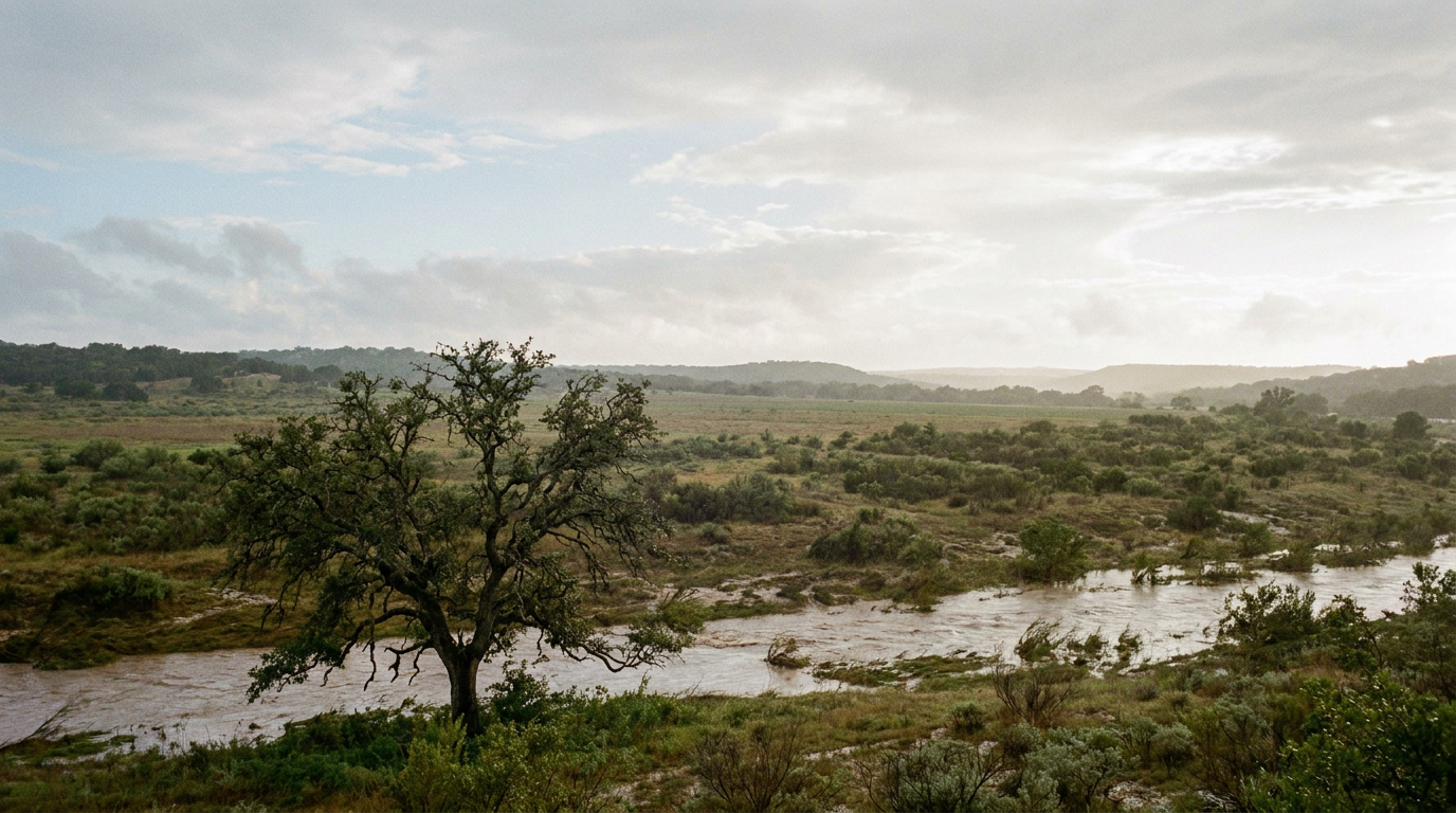
Alright folks, if you thought the Texas flooding story wrapped up with yesterday's slow-decline update, I've got some news. It didn't wrap up. WPC came out this morning with another Moderate Risk of excessive rainfall over the Edwards Plateau, the central Rio Grande Valley, and the Hill Country, valid through this evening. That's the same general footprint that gave us Flash Flood Emergencies in Kendall and Medina counties yesterday, the swept-away vehicle report near Sabinal, and the washouts along Cibolo Creek overnight. This thing has legs.
Why Texas Keeps Getting Hit
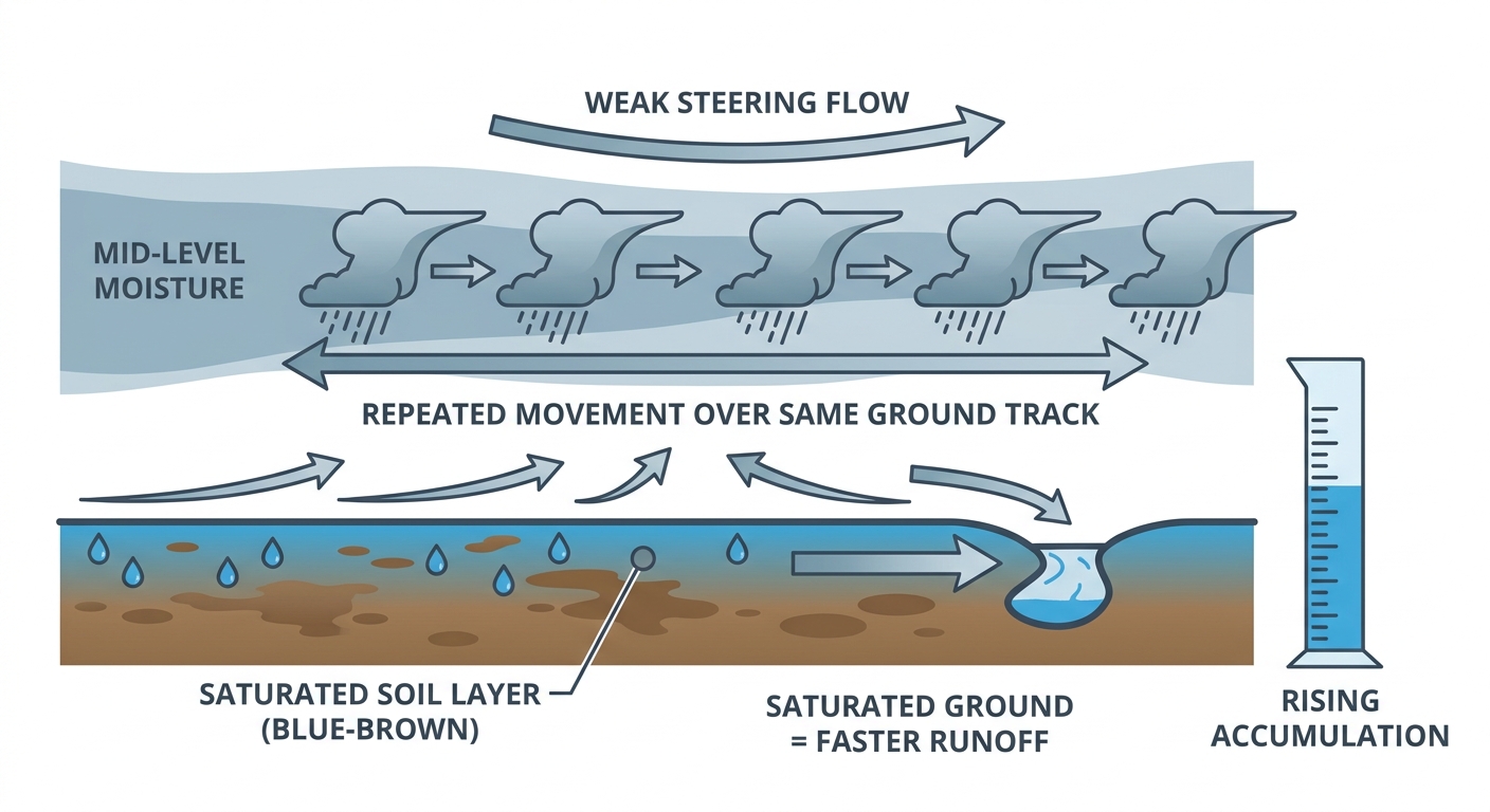
Here's the thing about this setup. WPC's own discussion calls it the "final high-impact phase" of a convective pattern that's been parked over south-central Texas for days now. The ground out there is already saturated from everything that fell Monday through Wednesday, so today's rainfall doesn't have anywhere to soak in. It just runs off, and it runs off fast. That's how you get road washouts and water rescues even from storms that, on paper, aren't dropping historic totals in a single pass.
The good news, if you can call it that, is the pattern is finally starting to break down. WPC has this transitioning to a Slight Risk on Friday as the mid-level trough over West Texas weakens and drifts toward the Big Bend. So today is genuinely the last high-end day for the Hill Country. If you're anywhere near the Edwards Plateau, San Antonio, Uvalde, or Kerr County, treat today like the finish line, not a formality. Low water crossings are still not worth it.
Southern Arizona Steps Into the Spotlight Next
While Texas eases off Friday, southern Arizona is getting its own Moderate Risk of excessive rainfall for Day 2. WPC coordinated directly with the Tucson office on this one, and their reasoning matters: precipitable water values are sitting above the 97.5th percentile and soil moisture is already above the 80th percentile there too. Translation: the atmosphere is loaded with moisture and the ground is already wet from this week's monsoon activity, including that flash flooding we saw in Holbrook overnight with nearly 3 inches falling in a single hour. Burn scar terrain in the Sacramento Mountains of southern New Mexico is a specific worry here too, since burned soil sheds water even faster than normal ground.
A Different Kind of Threat Builds for the Weekend
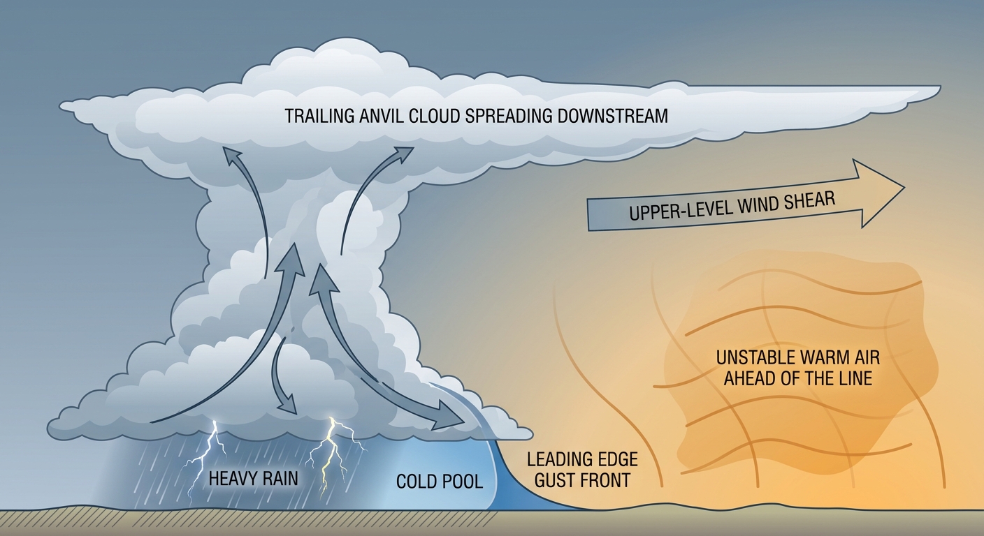
Now let's shift gears, because there's a second story developing that's worth watching if you live anywhere between the Ohio Valley and the Mid-Atlantic. SPC has a Slight Risk posted for Saturday stretching from Ohio and Indiana through Washington DC, Baltimore, and Philadelphia, with a broader Marginal Risk fanning out to New York, Chicago, Charlotte, Nashville, and Detroit. The setup: strong-to-severe storms fire over the Ohio Valley Saturday afternoon and evening, then track southeast toward the Mid-Atlantic overnight.
Our analog data flagged a couple of comparisons worth knowing about, not because this event will repeat them, but because they show this corridor has real history with midsummer severe weather. The June 29, 2012 derecho followed a similar Ohio Valley-to-Mid-Atlantic track, and back on July 29, 2021, four EF2-or-stronger tornadoes touched down across Ohio and Pennsylvania, including an EF3. That doesn't mean Saturday produces anything like either event. It means July tornadoes and derecho-style wind events are not some freak occurrence in this stretch of the country, so don't write off a Slight Risk just because it's mid-July.
There's also a Day 4 probabilistic outlook (15%) covering Charlotte, Raleigh, and Columbia, which lines up with North Carolina's own documented midsummer tornado history, including the EF3 near Rocky Mount back on July 19, 2023. That's a few days out yet, but it's on our radar.
Elsewhere: Quiet Skies, Quiet Sun
Out west, western Montana holds onto a Slight Risk today for large hail and gusty winds, the same general region that saw an 86 mph gust near Forestgrove and 2.5-inch hail near Hobson earlier this week. That risk fades to Marginal on Friday as it slides into northern Idaho and the Upper Great Lakes.
Tropically, it's calm. There are two weak invests, 90C and 91C, spinning in the Central Pacific well away from land with 25-knot winds each. Nothing organized, nothing threatening. Space weather is equally boring in the best way, SWPC's 27-day outlook shows no geomagnetic storms expected through early August, and solar activity is running at low levels.
Heat continues to be the background story almost everywhere that isn't getting rained on. Dallas and San Antonio are both running near or above their July normals in the mid-to-upper 90s, and Phoenix, sitting around its 106°F normal high, stays locked into monsoon mode with afternoon storm chances layered on top of the heat.
What This Means for Your Weekend Plans
- Texas Hill Country and San Antonio metro: Today is the last high-impact flooding day. Avoid low water crossings, especially after dark.
- Southern Arizona, including Tucson and the Phoenix metro: Friday brings a Moderate flash flood risk, particularly for burn scar areas and washes.
- Philadelphia Phillies vs. Mets tonight: Philly sits under today's Marginal severe risk, but the bigger watch is Saturday's Slight Risk arriving overnight into Sunday. Check radar before Saturday evening plans.
- moe.down Music Festival, Gilbert, PA (today): You're in today's Marginal risk zone. Isolated strong storms are possible but this isn't a washout-level threat.
- Ohio Valley to Mid-Atlantic outdoor plans Saturday: Columbus, Indianapolis, DC, and Baltimore should watch the afternoon and evening for strong-to-severe storms moving through.
- Western Montana ranchers and outdoor recreation: Hail and wind gusts remain possible today before the risk eases and shifts east Friday.
Bottom Line
Texas isn't in the clear yet. Today is genuinely the last high-end flood risk day for the Hill Country and Edwards Plateau, so if you're in that corridor, keep the caution from this week going through tonight. Arizona picks up the baton Friday with its own Moderate flood risk. And look ahead to Saturday: the Ohio Valley into the Mid-Atlantic has a real severe weather setup building, one that historically has produced everything from derechos to strong tornadoes in this exact corridor. Nothing says this weekend repeats that history, but it's a good weekend to have the weather app handy if you're outdoors from Columbus to DC.