Blog Article
Weekend Severe Weather: Tornado & Hail Threats in the Plains
A multi-day severe weather setup brings Enhanced Risks for large hail, damaging winds, and tornadoes to Oklahoma, Kansas, and Missouri this weekend.
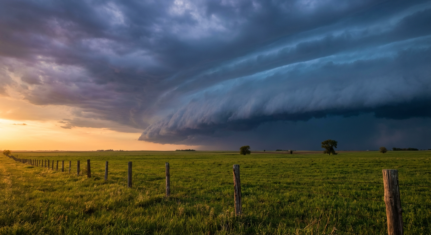
The Atmosphere is Reloading: Weekend Severe Threats Shift to the Plains
Y'all, yesterday was a heavy day. We saw some incredibly intense storms, including a massive, highly dangerous tornado near Enid, Oklahoma. If you are exhausted from tracking the weather, I completely understand. But the atmosphere is not done with us yet. We have a potent Pacific system digging into the Rockies, and it is pulling rich Gulf moisture right back into the Plains.
Today is a bit of a transition day, but we still have a Slight Risk of severe storms stretching from Dallas over to Memphis and down to Baton Rouge. If you are heading to the Rangers game in Arlington tonight, keep an eye on the radar. We are mostly looking at a large hail and damaging wind threat, but a brief tornado or two is absolutely possible.
Saturday's Volatile Setup
Tomorrow is when things get complicated again. The Storm Prediction Center has an Enhanced Risk centered right over Tulsa, Fort Smith, and Edmond. The local forecast office in Norman is calling this a highly volatile environment.
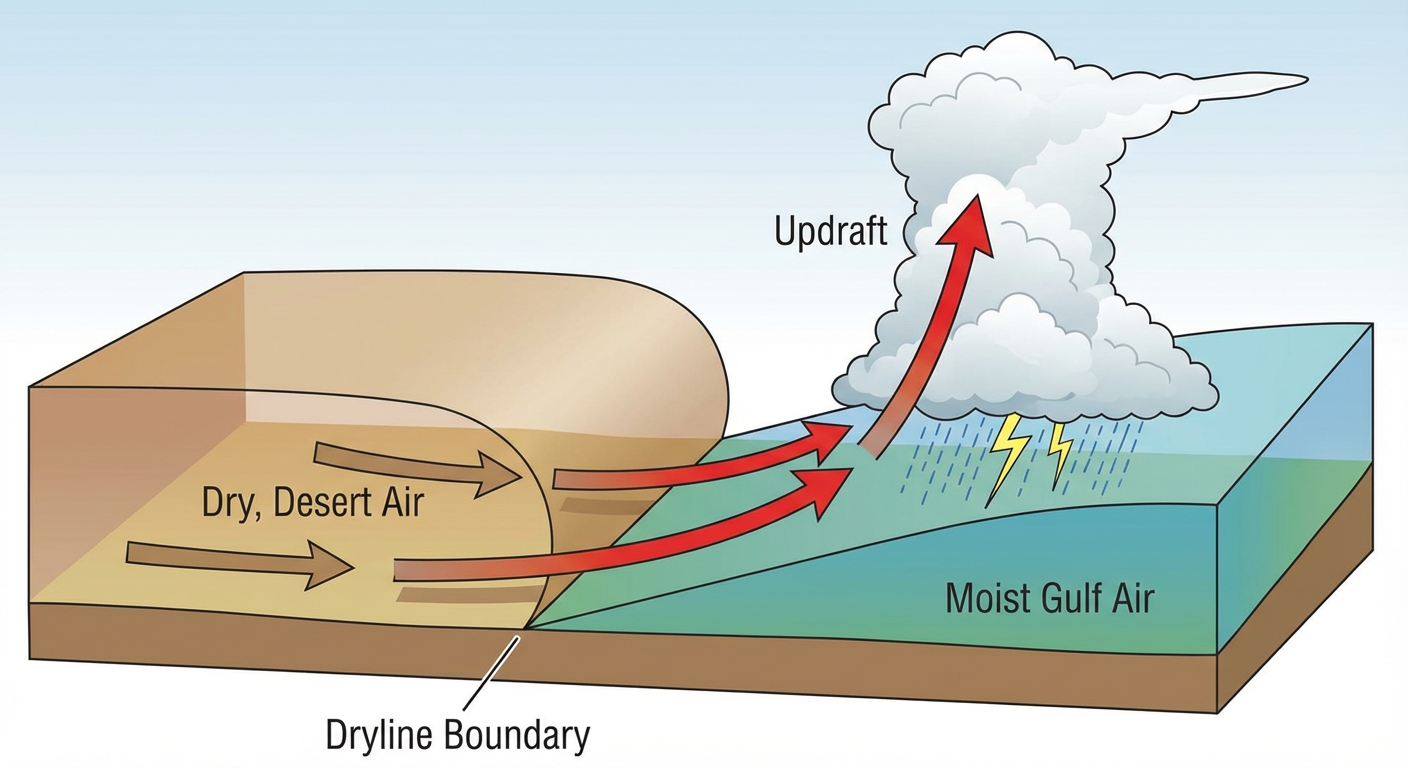
Storms are going to fire off a sharpening dryline by mid-afternoon. If you are out at FuelFest in Fort Worth, you are in the Marginal risk zone, so you might see some gusty storms nearby. But the main show is further north. We are talking about a 30 percent chance of very large hail and damaging wind gusts over 60 mph. The tornado threat is lower than yesterday, but a 2 percent risk area still means you need to pay attention.
Sunday Shifts North
By Sunday, the surface low pivots and the severe threat shifts north. We have another Enhanced Risk covering much of Kansas and western Missouri. That includes Kansas City, Wichita, and Topeka.
The normal high in Kansas City for late April is around 66 degrees. We are going to be pulling in warm, juicy air that pushes temperatures well past that mark, creating a ton of instability.
The forecast office in Wichita is watching a warm front lifting north. The exact placement of that front will dictate who sees the worst storms. If you have tickets to see the Royals play the Angels at Kauffman Stadium on Sunday afternoon, you need to have your weather app ready. We are looking at a threat for large hail and a couple of strong tornadoes by early evening.
The Western Contrast
While the Plains are sweating out severe weather, the West is dealing with a totally different setup. We have a Critical Fire Weather area over the Colorado Front Range today. Denver and Colorado Springs are looking at incredibly dry air and gusty winds. Any spark could spread rapidly.
Meanwhile, the mountains are getting dumped on. The Sierra Nevada and the central Rockies are picking up 4 to 12 inches of late-season snow. It is a massive contrast across the country right now.
Bottom Line
We have a busy weekend ahead. Have multiple ways to get warnings on Saturday and Sunday. Make sure your phone is charged and your alerts are turned on loud. Know exactly where your safe room is before the sky turns dark.
https://ryanhallyall.com/blog/the-atmosphere-is-reloading-weekend-severe-threats-shift-to-the-plains