Blog Article
Post-Storm Cold Front Brings Chill to Midwest, Storms East
The massive storm system is exiting the US, leaving behind temperatures 30 to 40 degrees below normal in the Midwest and a Marginal severe risk in the Carolinas.

The Big Storm Exits, But The Cold Air Moves In
Alright y'all, what a week it has been. We saw 100 mph winds and tornadoes in Oklahoma City, over 17 inches of snow up in North Dakota, and a crippling ice storm in Wisconsin. That massive system is finally pushing off the East Coast today. It is leaving a much quieter radar behind, but it is also leaving a serious mark on our temperatures.
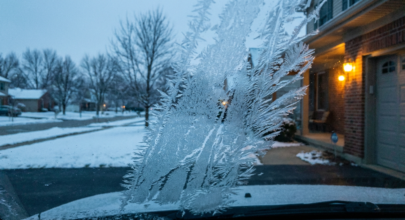
If you live in the Northern Plains or the Midwest, you probably already noticed. A surge of cold air from central Canada is spilling south right now.
The Big Midwest Chill
We are looking at temperatures 30 to 40 degrees below seasonal averages across the central US. Let us look at Chicago for a second. A normal high for early April is right around 59 degrees. Today, you will need to keep the heavy winter coats handy.
This compact system is even kicking off some late-season lake-effect snow across the western Upper Peninsula of Michigan and western New York. It feels like a massive step backward into winter. If you are heading out to Coors Field to watch the Phillies play the Rockies tonight in Denver, you will definitely want to bring a heavy jacket too.
Lingering Threats on the Edges
The trailing edge of that cold front is still causing some trouble out east. The Storm Prediction Center has a Marginal Risk for severe thunderstorms up the coast from the Carolinas into the Mid-Atlantic.
Places like Raleigh, Durham, and Virginia Beach are in this zone. The main hazard is isolated damaging wind gusts as the front pushes offshore this afternoon. It is a 5 percent probability for wind. Keep an eye on the sky if you have outdoor plans or if you are driving along the I-95 corridor.
Down in South Texas, the Weather Prediction Center has a Marginal Risk for excessive rainfall today. The deepest moisture has moved out, but some heavy downpours could still cause localized issues. Meanwhile, a stalled front over Florida is going to keep showers and thunderstorms in the forecast for the peninsula.
Fire Weather in the Panhandles
Out west, the air is drying out fast behind the front. We have near-critical fire weather conditions setting up in the Texas and Oklahoma Panhandles today.
Southwesterly winds are going to kick up to 20 to 25 mph. With the dry brush out there, any spark could spread quickly.
Here is what we are watching today:
- Midwest Freeze: Temperatures running 30 to 40 degrees below normal.
- East Coast Storms: A Marginal Risk for damaging winds in the Carolinas and Virginia.
- Fire Danger: Gusty winds and dry air in the Oklahoma and Texas Panhandles.
- Florida Rain: A stalled front bringing persistent showers to the peninsula.
Bottom Line: The severe weather outbreak is over, but the atmosphere is still restless. Bundle up in the Midwest, secure loose items if you live in the Carolinas, and hold off on any outdoor burning in the Panhandles.
https://ryanhallyall.com/blog/the-big-storm-exits-but-the-cold-air-moves-in