Blog Article
Indy 500 Travel Forecast: Severe Storms and Flash Flooding
Racing fans traveling for the Indy 500 and Coca-Cola 600 face severe weather. A nocturnal storm system in Texas and Ohio Valley flooding will disrupt Friday travel.
The Biggest Weekend in Motorsports Meets a Texas-Sized Storm System
Hey y'all. This is the biggest weekend of the year for racing fans. We have the Indianapolis 500 and the Coca-Cola 600 both running on Sunday. Hundreds of thousands of folks are loading up RVs, packing coolers, and hitting the road for the long holiday weekend.
But if your travel plans take you through the Southern Plains or the Ohio Valley on Friday, you are going to run into some serious weather. We have two very different atmospheric setups causing problems for travelers.
The Nighttime Threat in Texas and Oklahoma
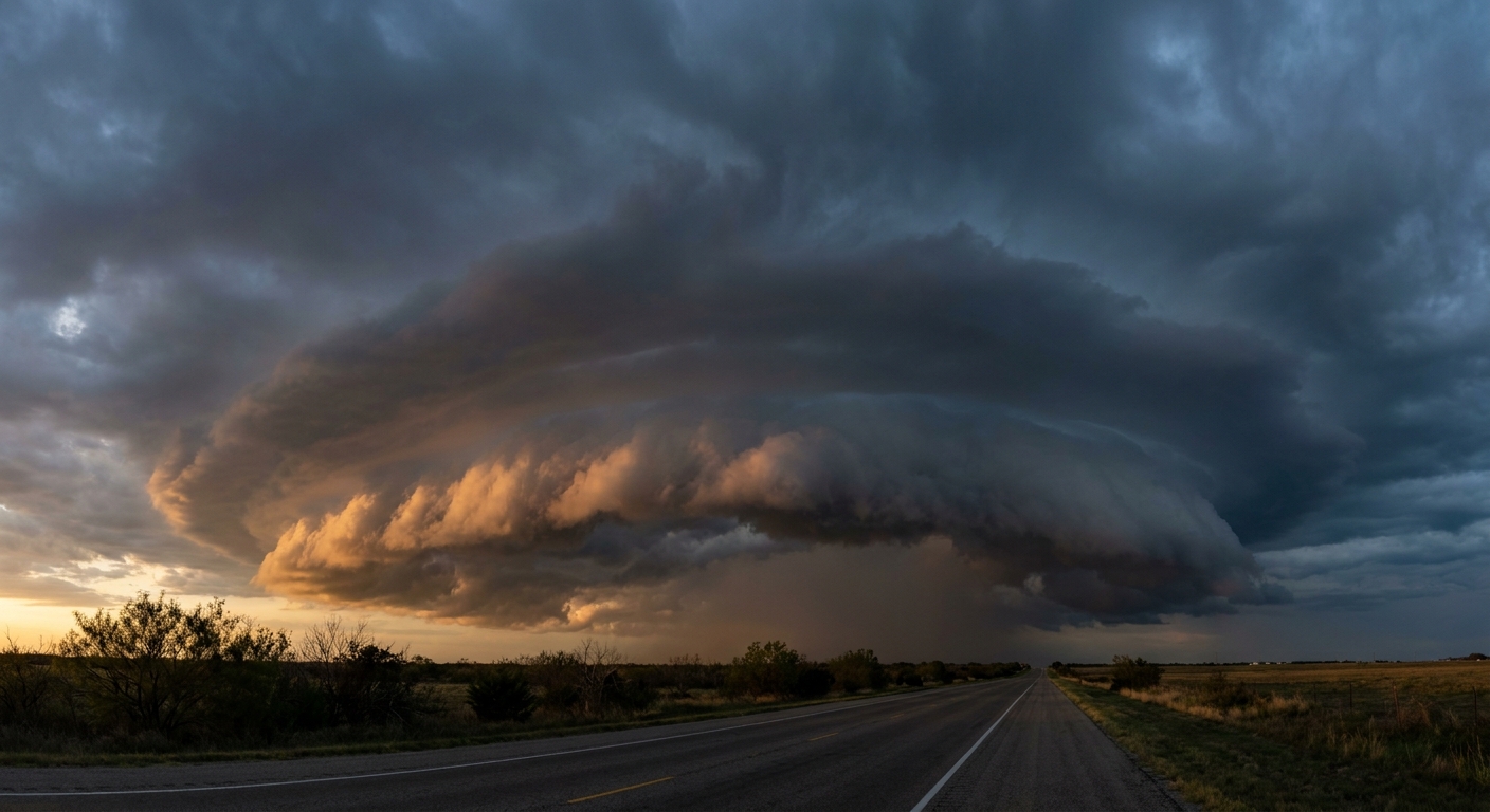
Tomorrow evening, the atmosphere gets busy in West Texas and western Oklahoma. The Storm Prediction Center has a Level 2 Slight Risk for severe weather covering places like Lubbock, Amarillo, and Altus.
We are looking at a classic dryline setup. Supercells will fire up late in the afternoon. As the sun goes down, those individual storms will merge into what meteorologists call a Mesoscale Convective System. That is a long name for a massive, organized cluster of thunderstorms. These systems thrive at night. They feed off a low-level jet stream that pumps warm, moist air into the storm long after the sun sets.
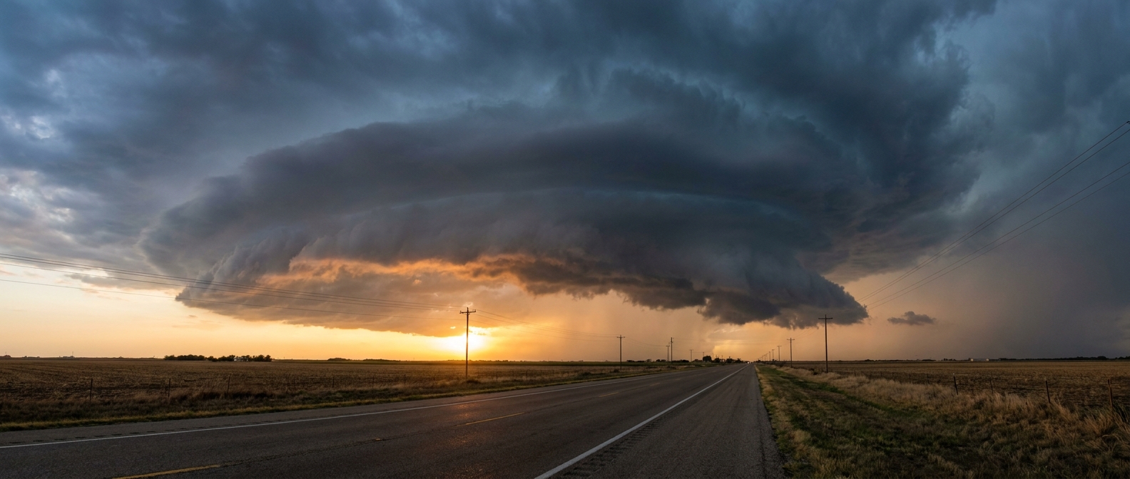
The main threats here are quarter-size hail and isolated wind gusts over 60 mph. If you are driving along I-40 or I-27 tomorrow night, expect heavy rain and sudden drops in visibility.
Water Woes in the Ohio Valley
Further east, the problem turns from wind to water. The Weather Prediction Center has outlined a Slight Risk for excessive rainfall on Friday across the Ohio Valley and the Southern Appalachians. This is right in the path of anyone driving toward Indianapolis.
A warm front is lifting north through the region. It is pulling a huge surge of moisture with it. The ground in places like northern Kentucky and Ohio is already soaked from rain earlier this week. Local flash flood guidance shows it will only take about an inch or two of rain to start causing problems.
We are expecting storms to train over the same areas. That means one storm drops heavy rain, and another storm follows right behind it on the exact same track. It is a recipe for water pooling on roadways.
What This Means for Your Weekend
If you are flying to the races or just heading out for a long Memorial Day weekend, keep an eye on your airline app. This stalled frontal boundary and surging moisture will create hazardous flying conditions across the South Central and Midwest hubs on Friday. We are expecting significant delays and possible ground stops.
The good news is that this active pattern will push east by Sunday. The weather should clear out just in time for the green flags to wave. Give yourself some extra time on the road tomorrow and pack your patience.
https://ryanhallyall.com/blog/the-biggest-weekend-in-motorsports-meets-a-texas-sized-storm-system