Blog Article
DFW Ground Stops & East Coast Storms: Travel Weather Ripples
Discover why severe storms in Texas and a breaking heat wave in Philadelphia are causing massive flight delays at DFW and East Coast hubs today.
The Butterfly Effect: Why Your Flight Is Delayed and the Heat Is Breaking
If you looked at the internet's trending searches today, you probably saw "American Airlines DFW ground stop" sitting right near the top. Over 500 flights got canceled out of Dallas Fort Worth and Love Field between yesterday and today. Maybe you are reading this from a terminal right now, eating an overpriced pretzel and wondering why your flight to Philadelphia is delayed.
I hear you. The atmosphere is throwing a massive wrench into the travel grid this week.
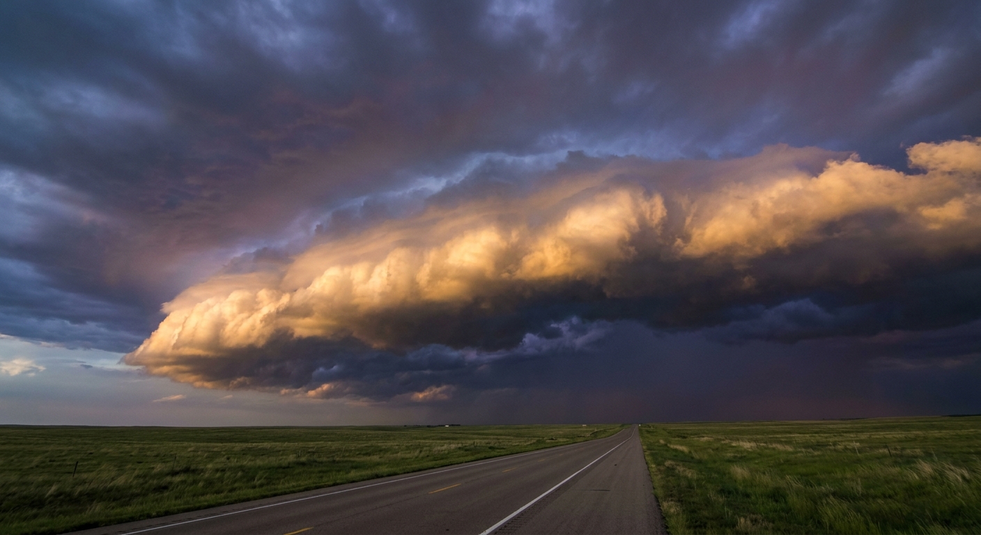
Here is the thing about weather. It does not happen in a vacuum. A stalled frontal boundary in the central United States creates a ripple effect that grounds planes in Texas, delays baseball games in Pennsylvania, and drops heavy rain in Missouri.
The Northeast Heat Wave Breaks Hard
That same storm system that wrecked the Texas flight schedule is currently pushing east. Right now, the Storm Prediction Center has a Level 2 out of 5 Slight Risk for severe storms stretching from eastern Kentucky straight up into the Mid-Atlantic and southern New England.
We are looking at a 15 percent probability for damaging wind gusts over 60 mph and isolated quarter-size hail. Cities like New York, Baltimore, Washington DC, and Newark are right in the crosshairs.
By the way, Philadelphia has been baking in record May heat. The normal high for Philly this time of year is 74 degrees. They absolutely smashed that today. But this cold front is breaking the heat wave the hard way. If you have tickets to see the Reds play the Phillies tonight, bring a poncho and keep an eye on the sky. Those storms are exactly why the East Coast aviation hubs are struggling to get planes off the tarmac.
Tomorrow's Target Shifts West
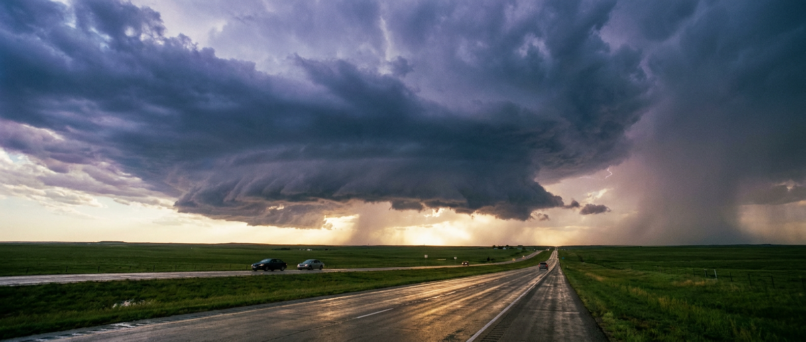
Tomorrow, the severe weather target moves back west. We have a new Slight Risk setting up over eastern Colorado.
A short-wave trough is moving in from the northern Rockies. As it hits the central high plains Thursday afternoon, it is going to kick off some widely scattered supercells. The main hazard there is large hail. There is a 15 percent chance of severe hail, and a smaller 5 percent chance for damaging winds.
- For the sports fans: The Texas Rangers are playing the Rockies at Coors Field in Denver tomorrow evening. If you are tailgating or heading to the stadium, check the radar before you park the car.
- For the road trippers: Watch out for sudden drops in visibility and slick roads on the interstates out west.
The Flash Flood Threat Expands
Meanwhile, the heavy rain threat drops south for Thursday. The Weather Prediction Center has outlined a Slight Risk for excessive rainfall stretching across the Southern Plains right into the Piney Woods region.
A dryline is pushing east into some incredibly deep, rich Gulf moisture. That collision is going to wring out the atmosphere like a wet sponge. Flash flooding is a very real concern for eastern Oklahoma, Kansas, and parts of Missouri tomorrow.
Weather connects us all. A supercell in Colorado or a training thunderstorm in the Piney Woods eventually dictates where planes can land in New York. Pack your patience this week, download your airline's app, and respect the atmosphere's power to mess up a schedule.