Blog Article
Hurricane Polo's Moisture Threatens Southwest Before Balloon Fiesta
A predecessor rainfall event tied to Hurricane Polo brings a Moderate flash flood risk to the Southwest, just before drier weather arrives for Balloon Fiesta week.
The Desert's Biggest Party Is About to Get Soaked Before It Gets Perfect
Folks in New Mexico are counting down to the Albuquerque International Balloon Fiesta, that nine-day stretch starting October 3rd where the sky over the Rio Grande Valley fills up with hundreds of balloons at sunrise. It's the kind of event that ends up on everybody's bucket list. But before any of that happens, the Southwest has to get through a soaking that's got nothing to do with the monsoon calendar and everything to do with a hurricane spinning off the coast of Baja California.
What's Actually Happening: A Predecessor Rainfall Event
Here's the setup, and it's a mouthful, but stick with me. Hurricane Polo is a Category 3 storm sitting about 275 miles southwest of Cabo San Lucas with 125 mph sustained winds. It's not headed for the U.S. Its target is Loreto, down in Baja California Sur, where it's forecast to make landfall Monday night into early Tuesday. Places like Santa Rosalía and Loreto are under an "action" threat level right now. Hermosillo and Guaymas up in Sonora are one step behind at "prepare."
But a hurricane doesn't have to make landfall in your state to mess with your weather. Polo is dragging a deep plume of tropical moisture northward, and that moisture is running into an approaching upper-level trough over the Southwest. Meteorologists call this a predecessor rainfall event, or PRE for short. Basically, the atmosphere gets primed with moisture way out ahead of the storm's actual track, and when that moisture meets rising air from the trough, you get widespread heavy rain that has nothing to do with the storm's center.
The Weather Prediction Center has already pulled the trigger on this one. There's a Moderate risk of excessive rainfall for the Southwest and Four Corners on both Monday and Tuesday, with precipitable water values running 2 to 3.5 standard deviations above normal. That's not a small anomaly. That's the atmosphere holding way more moisture than it usually does this time of year over Arizona, New Mexico, southern Utah, and southwestern Colorado.
Slot Canyons and Burn Scars Are the Real Concern
This isn't the Southwest's first rodeo with monsoon moisture turning deadly in a hurry. Back on September 13th, flash flooding sent Big Bug Creek up three feet near Mayer, Arizona, and video from Cordes Junction showed water ripping through drainages that are usually bone dry. That was a garden-variety monsoon storm. This setup carries more juice.
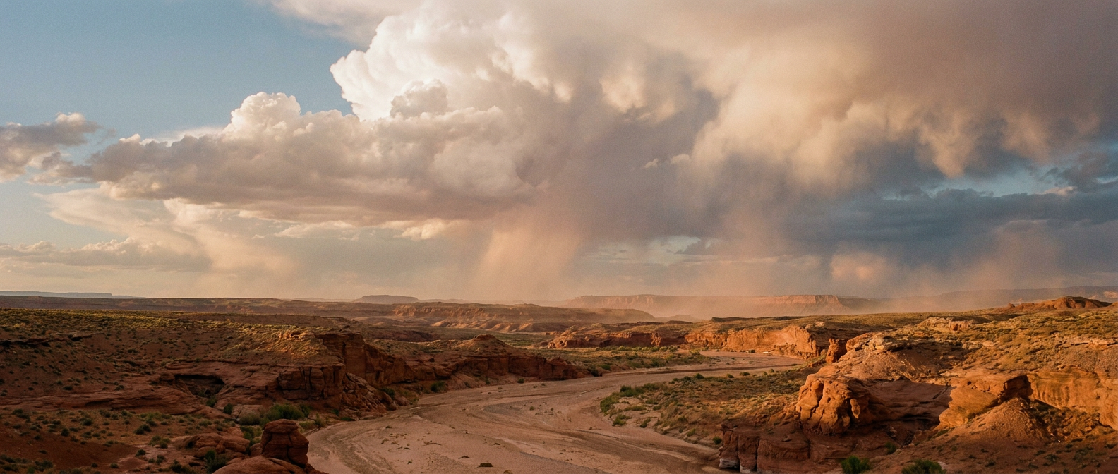
The National Weather Service offices in Phoenix, Flagstaff, Albuquerque, Grand Junction, and Salt Lake City have all flagged the same worry: slot canyons, arroyos, burn scars, and alpine drainages in the San Juan Mountains don't need much rain to go from dry to dangerous. If you're anywhere near Antelope Canyon, the Mogollon Rim, or backcountry washes in the Four Corners region over the next couple days, that's not the place to be when clouds start building.
The Good News for Fiesta Week
Here's where the story turns. Once Polo's moisture plume works through and the trough exits, a ridge of high pressure is forecast to build over the central High Plains and slide into the Intermountain West by around Day 7 of the outlook, which lines up almost exactly with October 3rd. That tracks with the Climate Prediction Center's medium-range signal for a strengthening western ridge. Translation for anybody with a balloon basket reservation: the wet, unstable pattern threatening flash floods this week should be handing off to calmer, drier conditions right about the time the first balloons go up.
Nothing in the forecast is guaranteed that far out, and early October forecasts always carry some wobble. But the broad-scale signal, high pressure taking over the interior West as the tropical moisture clears out, is a good sign for anybody circling Balloon Fiesta dates on the calendar.
One More Storm Worth Watching
While Polo dominates the Eastern Pacific headlines, Hurricane Nolo, also a Category 3 with 115 mph winds, is churning a few hundred miles south-southwest of the Big Island. It's not tracking toward the main Hawaiian islands, but a hurricane watch is up for the Papahanaumokuakea Marine National Monument to the northwest, and several island communities remain at a "prepare" threat level as Nolo passes well to the south over the next couple of days. If Hurricane Lowell's run past Kauai a few weeks back is still fresh in your mind, this is a smaller, more distant echo of that same pattern.
The Takeaway
If you've got Balloon Fiesta on the calendar, don't cancel anything. The flash flood risk is real, and it's this week's problem, not next week's. But the same atmospheric setup that's about to soak canyon country is forecast to clear out just in time for the ridge to take over. Sometimes the sky has to get worse before it gets postcard-perfect, and this looks like one of those times.