Blog Article
July 4th Weather: Heat and Storms Threaten DC Celebrations
A dangerous heatwave and a Slight Risk of storms threaten July 4th celebrations across DC and the Northeast, from the parade to the Peachtree Road Race.
The Fourth of July Fireworks Fight: Heat, Storms, and Seven Hours of Flyovers Over DC
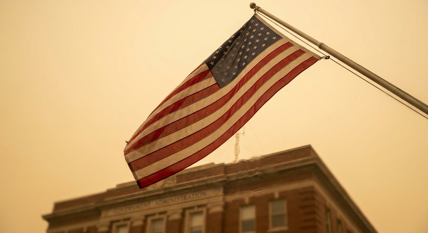
Alright folks, here's what people are actually googling tonight. "Fireworks." "7 hours of flyovers planned for DC on Fourth of July." The nation's 250th birthday is turning into the biggest outdoor party this country has thrown in a generation, and Washington is the epicenter. Parade down Constitution Avenue. Flyovers stacked back to back. A crowd on the National Mall that's gonna be measured in the hundreds of thousands.
Now here's the thing nobody putting on a red-white-and-blue tank top wants to hear. The sky over the Mid-Atlantic has some opinions about all this.
Let me walk you through it, because this matters whether you're headed to DC, standing in Brooklyn for Nathan's, or running the Peachtree in Atlanta.
Two problems, not one
We've got a heat story and a storm story, and they're feeding off each other.
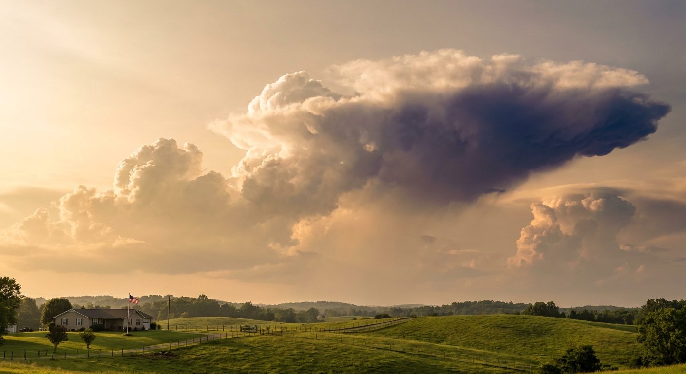
Start with the heat. The AI forecast guidance and the extended discussions both flag a dangerous heatwave holding across the Midwest to the East Coast, with heat indices running 100 to 115 through Friday. Washington's normal high for early July is 89 degrees. When the heat index climbs toward 110, that's not "summer's here," that's the kind of air that sends people to the medical tent. The news wires are already running heat-safety guides and stories about how the nights aren't cooling off either. That overnight warmth is the sneaky part. Your body needs the dark hours to recover, and when the low only slides to the mid-70s, it doesn't get the break.
Then there's the storm side. The Storm Prediction Center has a Slight Risk of severe thunderstorms for the Fourth of July stretching from eastern Ohio and West Virginia east across the I-95 corridor. That covers New York, Philadelphia, Washington, and Baltimore. A Slight Risk is Level 2 out of 5. It's not a red-alert outbreak day, but it means scattered storms are likely, and a few could turn strong with gusty winds and downpours. The Weather Prediction Center also carries a Marginal excessive-rainfall risk right through the NYC metro and into New Jersey for the holiday, thanks to that high humidity and heat feeding the storms.
Why heat and storms travel together
Here's the meteorology, plain as I can make it.
That oppressive heat isn't just uncomfortable. It's fuel. Hot, humid air is loaded with energy. When something comes along to lift it, a front, a piece of upper-level energy, a sea breeze, that stored energy gets released as thunderstorms. The SPC discussion points to a shortwave trough approaching the Northeast and Mid-Atlantic on Sunday, with stronger mid-level winds moving over the region Saturday, the Fourth itself.
So the same air mass that's making you miserable at the parade is the same air mass that can boil up a storm by evening. That's why the classic summer setup gives you a scorching afternoon and then a rumble of thunder right about the time you're spreading a blanket for fireworks.
What this weekend actually looks like
Let me connect the dots for the events people are heading to:
- National Independence Day Parade, Washington DC (July 4): Heat is the headline threat during the day. Storms become the wildcard by late afternoon and evening. Those seven hours of flyovers depend on the sky staying clear enough, and afternoon convection could complicate the timing.
- Nathan's Hot Dog Eating Contest, Brooklyn (July 4): The NYC metro sits in both the Slight severe risk and the Marginal rainfall risk. A midday event has a better shot than an evening one, but keep an eye on the radar.
- Peachtree Road Race, Atlanta (July 4): Atlanta's normal high is 89 this time of year. Georgia sat in a Slight Risk earlier this week and the Southeast keeps churning out pulse storms. For a race, the heat and humidity are the real opponents. Hydrate like it's your job.
- Boston Harborfest (starting today) and Summerfest in Milwaukee: Both sit near the northern edge of this active pattern. Milwaukee already took a beating this week with that Enhanced Risk and 3-plus inch hail near Fond du Lac on July 1.
The travel angle
If you're flying to any of this, get this. The airport guidance is already calling for hazardous conditions and likely cancellations across the Northeast hubs on Friday, with heavy rain and afternoon storms hitting Buffalo, Syracuse, and cascading into JFK, LaGuardia, and Newark. Then from the Fourth through the sixth, a slow-moving boundary keeps triggering delays across the Northeast, Midwest, and Southeast, with Detroit, Philadelphia, and Florida hubs called out specifically. If your holiday plans involve a plane, build in buffer time.
The bottom line
America's throwing itself a 250th birthday party, and the atmosphere isn't canceling it. But it is crashing it a little. The heat is the bigger, steadier threat, the kind that hurts people quietly across the whole eastern half of the country. The storms are the wildcard that could scatter a crowd or delay a flyover.
So make your plan around both. Drink more water than you think you need, find shade during the worst of the afternoon, and have a spot to duck into if the sky goes dark before the fireworks go up. Check your local forecast the morning of, because a Slight Risk day is exactly the kind of day where timing is everything.