Blog Article
July 4th Heat Wave and Storms Threaten Holiday Plans
A punishing heat wave and two Slight Risk storm zones are reshaping July 4th celebrations across DC, the Mid-Atlantic, and central Plains. Here's what to know.
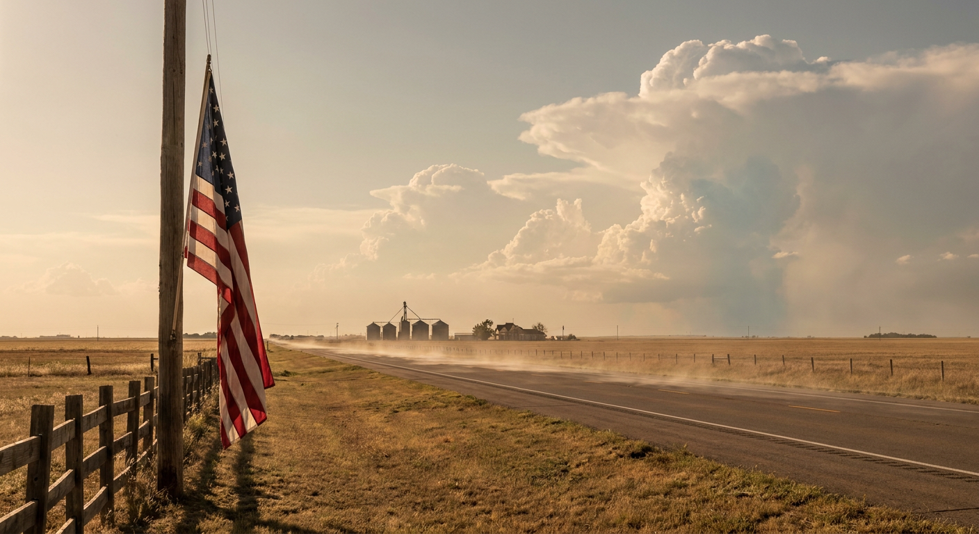
The Fourth of July Heat Is Rewriting America's 250th Birthday Plans, and Two Storm Zones Aren't Helping
Alright folks, here's the thing. The headlines this week aren't about a hurricane or a blizzard. They're about a cookout. Two of the biggest news stories trending right now, "July 4th events threatened by heat wave" and "As Heat Suffocates Washington DC, Calls to Emergency Medical Services Climb," are basically weather stories wearing a red, white, and blue costume.
And get this. It's not just any Fourth. Folks are gearing up for America's 250th birthday celebrations, and one of the trending pieces literally reads "How the Heat Is Upending Plans for America's 250th Birthday." When the weather starts editing the guest list for the nation's party, that's worth talking about.
So let's talk about what's actually going on in the sky, and what it means if you're headed to a parade, a ballgame, or Grandma's backyard tomorrow.
The heat is the real headline
Washington, DC is the center of this story, and for good reason. The National Independence Day Parade rolls through the capital on July 4th, and the AI forecast guidance is flagging heat indices in the 105 to 110 degree range across the Mid-Atlantic. For context, a normal early-July day in DC runs a high around 89 degrees. When the heat index climbs past 105, you're not talking about "a little warm." You're talking about the kind of conditions that send EMS calls climbing, which is exactly what that trending news story is describing.
Heat index, if you've ever wondered, is what the temperature feels like once you fold in humidity. When the air is soupy, your sweat can't evaporate as easily, so your body's natural air conditioning stops working right. That's why 95 degrees with a swampy dewpoint feels worse than 100 degrees in dry desert air.
This isn't new for the season either. Remember, just two days ago on July 2nd, the Northeast and Mid-Atlantic saw heat index values push all the way to 114 to 120 degrees. Newark hit an actual air temperature of 97. So the region has been baking for days, and the pavement, the buildings, and the people are all carrying that heat load into the holiday.
Now add two storm zones to the party
The Storm Prediction Center has drawn up two separate Slight Risk (Level 2 of 5) areas for severe thunderstorms on the Fourth. Here's where they sit:
- The upper Ohio Valley into the Mid-Atlantic. This one covers New York, Philadelphia, Washington DC, and Baltimore. That's roughly 52 million people and a whole lot of holiday plans. The main threat is damaging wind gusts, driven by 3,000 to 4,000 J/kg of instability and dewpoints in the 70s. In plain terms, the atmosphere is loaded with fuel, and any storm that fires during peak afternoon heat can collapse and throw down 40 to 50 mph gusts.
- The central Great Plains. Around Wichita and surrounding areas, the bigger concern is large hail from supercells, with a hatched zone where stones could reach 2 inches. Overnight, a cluster of storms is expected to organize into a complex moving through southern Kansas into northern Oklahoma.
Here's the honest part. A Slight Risk does not mean a washout. It means scattered storms are possible, and if one hits your spot, it can pack a punch. The tricky thing about the Fourth is timing. Storms love to fire in the late afternoon and evening, which is exactly when parades wrap up and fireworks are supposed to start.
What this means for tomorrow's plans
Let me connect the dots to the actual events people are heading to:
- National Independence Day Parade, Washington DC. Heat is your first enemy, storms are your second. Bring water, find shade, and keep an eye on the sky in the afternoon.
- Nathan's Hot Dog Eating Contest, Brooklyn. New York sits in that Mid-Atlantic storm zone. The contest is at midday, so heat and humidity are the bigger factors than storms, but afternoon pop-up cells are on the table.
- Freedom Fest with Brett Young, Farmingville, NY. An outdoor concert tonight in that same New York corridor. Storms are possible, so have a plan for where you'll go if the sky turns.
- Latvian Song and Dance Festival, Grand Rapids, MI. Michigan just took a beating from severe storms earlier today under an Enhanced Risk. Things quiet down some for the Fourth, but the ground and the crowds have already had a rough stretch this week.
- Ballgames everywhere. The Nationals host the Pirates in DC, the Yankees host the Twins in the Bronx, and both sit in the storm zone. Expect heat delays to be more likely than rain delays, but keep an eye on the radar app if you're in the stands.
The bigger picture
There's something fitting about heat being the story for America's 250th. One of the trending reads this week points out that coffee, of all things, helped energize the American Revolution. Well, this year it's iced everything. The country is trying to throw the biggest birthday bash in a generation, and the atmosphere decided to crank the thermostat and sprinkle in a few storms for good measure.
The science here is straightforward. A big ridge of high pressure parked over the East is trapping heat and humidity, while disturbances rippling along its edge give storms just enough of a nudge to fire up. It's a classic mid-summer setup, the kind July has served up over and over. Even the Mid-Atlantic has July severe history worth respecting, including the significant tornadoes that struck Pennsylvania and Maryland back on July 29, 2021.
Here's your takeaway. If you're celebrating tomorrow, plan around two things: the heat first, the storms second. Hydrate like it's your job, know where the nearest shade or air conditioning is, and check your local forecast in the afternoon before you commit to a lawn chair for three hours. The fireworks will still go off. You just want to be comfortable and safe enough to enjoy them.