Blog Article
Texas Flash Flood Threat and Gulf Coast Rain Forecast
A stalled front brings a significant flash flood risk to Texas and the Gulf Coast. Find out how heavy rain and a sharp cool down will impact your weekend.
The Giant Hail is Gone, But the Texas Flood Threat Remains
Alright y'all, we saw some absolutely wild weather across Texas yesterday. If you saw those pictures of the 5-inch hail near Camp Wood, you know exactly what I'm talking about. That is the kind of ice that goes right through a windshield.
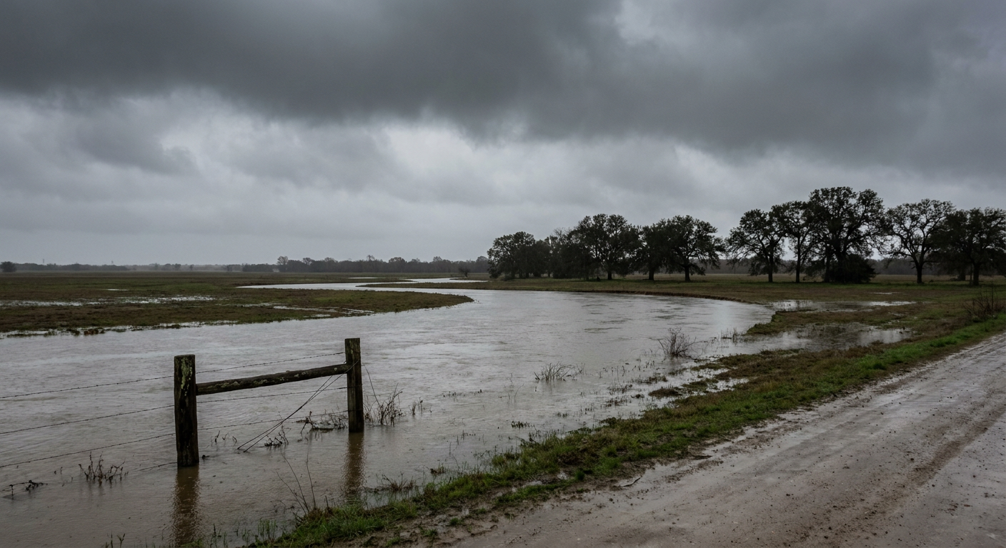
As we talked about yesterday, this stalled-out front is causing all sorts of headaches for folks gearing up for the iHeartCountry Festival in Austin. The giant hail threat has backed off a bit, but here's the thing. We are trading the ice for a whole lot of water.
The Heavy Rain Setup
The Weather Prediction Center has a Slight Risk for excessive rainfall posted today for Central Texas. Tomorrow, that risk slides east to cover Southeast Texas and the Central Gulf Coast.
We've got a slow-moving front draped across the region, and it's acting like a set of train tracks for these storms. They are just going to keep rolling over the same areas. If you're driving the I-10 corridor from Houston over to New Orleans on Friday, you need to plan for delays. We could see localized spots picking up over 5 inches of rain where those storms decide to park.
Lingering Severe Risks
The Storm Prediction Center still has a Marginal Risk for severe weather today around San Antonio and Austin. The main threats are going to be isolated large hail and gusty winds.
By Friday afternoon, that Marginal Risk shifts to the Middle Texas Coast, Southeastern Louisiana, and the Florida Panhandle. It's a low-end threat, but there is a 2 percent chance of an isolated tornado spinning up near the coast. Have your weather radio or app ready just in case.
Jacket Weather in May?
Get this. Once that cold front finally pushes through, temperatures are going to drop hard. A normal high for San Antonio and Austin right now is around 81 degrees. By Friday and Saturday, highs are going to struggle to get out of the 50s and 60s in a lot of spots behind the front.
If you're heading to the festival in Austin on Saturday, or even just catching a high school baseball game, you're going to want a real jacket. It's going to feel unseasonably cool, and the breezy north winds won't help.
Bottom Line
The severe weather is calming down compared to yesterday, but the water is going to pile up fast. Don't try to drive through flooded roads, especially at night when you can't see how deep the water is. Keep the rain gear handy, grab a jacket for the weekend, and make sure your phone alerts are turned loud enough to wake you up.
https://ryanhallyall.com/blog/the-giant-hail-is-gone-but-the-texas-flood-threat-remains