Blog Article
Gulf Tropical Watch Meets ALDS Game 2 in Tampa Bay
A developing Gulf system has tropical storm searches trending right as the Yankees-Rays ALDS plays in St. Petersburg. Here's the real forecast behind the buzz.
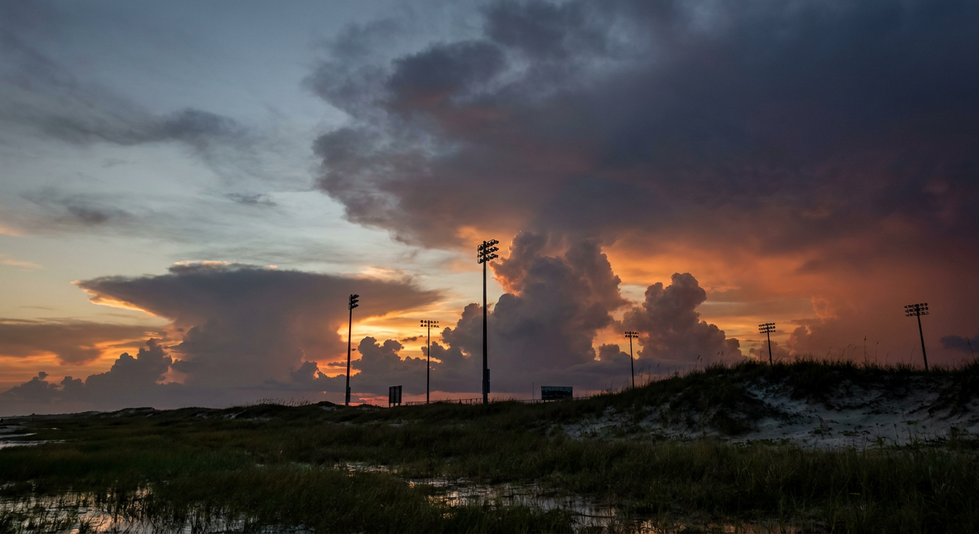
The Gulf Is Stirring Right As the Rays Take the Field
Alright folks, let's talk about why half of Florida is checking two different apps tonight. One's got the ALDS on it. The other's got the tropics.
'Gulf coast tropical storm forecast' is sitting at over 5,000 searches tonight, and that's not an accident. There's a real system out there. It's just not the one some folks think it is.
What's Actually Out There
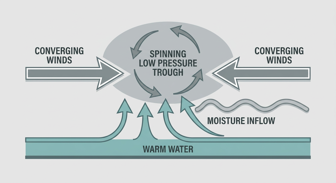
The National Hurricane Center has an area of disorganized showers and storms, officially tagged Invest 92AL, sitting over the southwestern Gulf of America. As of this afternoon it's got a 60% shot at becoming a tropical depression in the next 48 hours, and that climbs to 80% over seven days. The NHC's own wording is that development is "becoming more likely," and they expect a depression to form by the middle of this week. Right now the system is drifting eastward, not racing toward anybody's coastline.
Separately, there's a stronger hurricane way out in the East Pacific. Hurricane Rachel is a Category 1 with 92 mph winds, but she's about 495 miles southwest of the southern tip of Baja California and has no forecast landfall. She's not a Gulf Coast story at all, she's just proof the tropics are awake on both sides of the country right now.
So if you're seeing "tropical storm" in your search results and picturing a named storm bearing down on somebody's coast this week, pump the brakes. What we actually have is an invest that NHC thinks becomes a depression soon, with impacts still being worked out by local offices from Houston to the Florida Panhandle.
Why Tampa Fans Should Still Keep an Eye on the Sky
Here's where it gets relevant to tonight. The Yankees and Rays are playing ALDS Game 2 in St. Petersburg, and today's airport and travel guidance flagged a cold front pushing through the Southeast that's set to trigger afternoon and evening thunderstorms, with Florida specifically called out as a target. That's happening independent of Invest 92AL, it's just garden-variety October frontal convection meeting deep tropical moisture already sitting over the peninsula.
The Weather Prediction Center has a Marginal excessive rainfall risk in place today mainly for the Lower Texas Coast, but that Marginal zone expands tomorrow to cover far southern Georgia and much of Florida. Tampa isn't under a flood watch tonight, but the moisture is thick, Gulf dewpoints are running high for early October, and that's the kind of setup that turns a quiet first pitch into a pop-up downpour by the later innings. Keep the rain delay possibility on your radar if the series needs a Game 3 push.
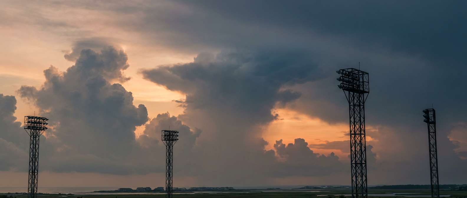
The Bigger Pattern: Florida's Rain Risk Builds Through the Week
Zoom out a bit and the AI discussion for Tuesday backs this up. The frontal boundary settles across northern and central Florida while very moist Gulf air stays in place, and scattered to numerous storms are expected along the front, sea breeze boundaries, and outflow boundaries. SPC isn't flagging a categorical severe weather risk, but a few storms could still produce frequent lightning, brief gusty winds, and even some low-end tornado or waterspout potential buried in that tropical convection. None of that is unusual for Florida in October. It's just going to repeat itself for a few days.
For context, Tampa's average high this time of year sits around 85°F with lows near 68°F. The air mass in place isn't unusually hot or cold, it's unusually loaded with moisture, and that's the ingredient doing the work here, not the thermometer.
Where This Goes From Here
The real story to watch isn't tonight's game, it's Thursday and Friday. If Invest 92AL organizes into a depression as expected and drifts toward the northern Gulf Coast, Houston's local forecast office has already flagged the tropical connection and the northward turn as something they're watching closely, especially with soils already saturated from recent rain. That's a Gulf Coast story that could matter well beyond this week's baseball schedule.
The Takeaway
So no, there's no named tropical storm aiming at the Gulf Coast tonight. What there is: a legitimate invest with decent odds of becoming a depression by midweek, a moisture-rich Florida atmosphere that's going to keep producing storms with or without that system, and a playoff baseball game caught right in the middle of both. Watch the forecast evolve the same way you're watching the series. One more win and one more advisory, and we'll know a lot more by Thursday.
https://ryanhallyall.com/blog/the-gulf-is-stirring-right-as-the-rays-take-the-field